- Brief description
-
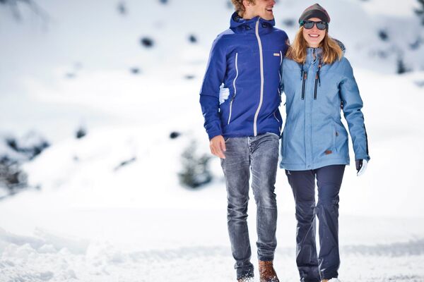
Take the time and leisure to discover one of many winter hiking trails through Niedernsill.
- Difficulty
-
easy
- Rating
-
- Starting point
-
Hiking info point Niedernsill
- Route
-
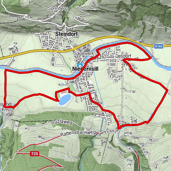
Jesdorf1.6 kmCafe Zur Pinzgauerin4.2 kmLibelle4.6 kmAisdorf5.9 kmPfarrkirche hl. Luzia7.6 kmNiedernsill7.8 km
- Best season
-
AugSepOctNovDecJanFebMarAprMayJunJul
- Description
-
Go into direction power station nature, become a naturianer and take a breeze of what we have plenty of, stressless clean mountain air.
- Directions
-
From the starting point follow the Angerweg, past the tourist information, to the junction of the Salzachweg (winter hiking path). Then walk along the Salzach river (no dogs allowed) to the Jesdorf bridge. Turn right here, hike past the Anger farm and continue to the crossroads. Turn left and follow the road Unterwiesstraße to the dog training area. Now turn right, from here the hike leads along the Mühlbach and Erlachweg to the Schlossergasse junction. Turn right again, follow the Schattbergstraße and Dorfstraße to the Seeweg junction, turn left and follow the winter hiking trail past the leisure area to Aisdorf. From Aisdorf, follow the road to the Salzach bridge and from here back to the starting point.
- Highest point
- 827 m
- Endpoint
-
Hiking info point Niedernsill
- Height profile
-

- Equipment
-
Winter proof shoes with nonskid soles & winter clothes
- Safety instructions
-
Fairness and mutual consideration form the basis for a common together! Stay on the marked winter hiking trails. Observe the markings and signs as well as the prohibition signs. Leashes are compulsory on the winter hiking trails of Piesendorf and Niedernsill!
- Additional information
- Public transportation
- Parking
-
Sufficient parking spaces available.


-

-
AuthorThe tour Village tour Niedernsill is used by outdooractive.com provided.