
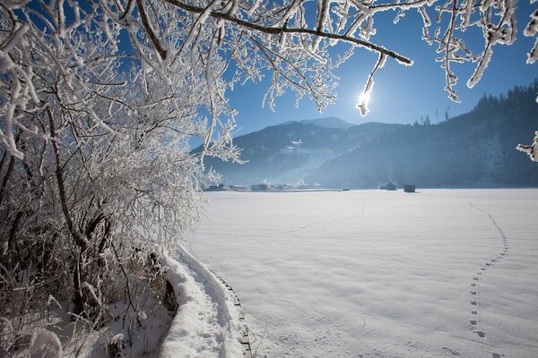
© Saalbach Hinterglemm - saalbach.com, Mirja Geh
- Brief description
-
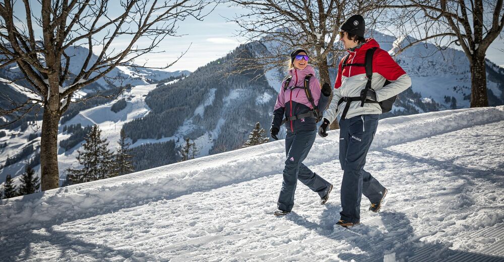
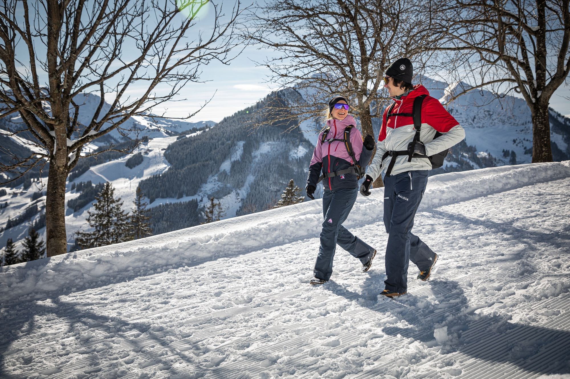
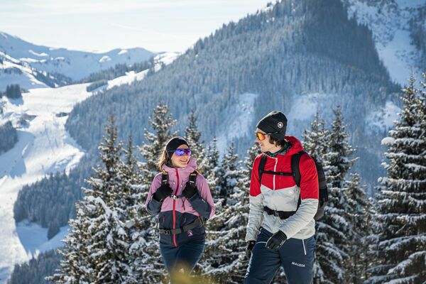
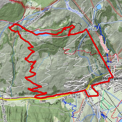
A nice panoramic winter hike in Hinterglemm.
- Difficulty
-
easy
- Rating
-
- Starting point
-
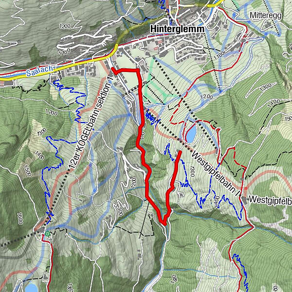
12er KOGEL lift bottom station - Hinterglemm
- Route
-
Hinterglemm0.1 kmHinterglemm4.6 km
- Best season
-
AugSepOctNovDecJanFebMarAprMayJunJul
- Description
-
The start of this hike is at the car park of the 12er KOGEL valley station. Here you cross the bridge and the open field to Schwarzacherweg and follow the asphalt road to the Gerstreitalm.
- Highest point
- 1,261 m
- Endpoint
-
Gerstreitalm
- Height profile
-

- Directions
-
From Maishofen approx. 18 km along the L111 to Hinterglemm west (Zwölferkogel lift).
- Public transportation
-
Postbus - daily from 07.00 - 19.00
http://www.postbus.at/de/Fahrplanauskunft/index.jsp
- Parking
-
Parking at the Zwölferkogel lift or the Westgipfel lift
-

-
AuthorThe tour H06 Gerstreitalm is used by outdooractive.com provided.
GPS Downloads


General info
Refreshment stop
A lot of view
Other tours in the regions

 Mirja Geh")

