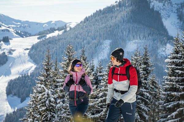
© Saalbach Hinterglemm - Paul Kubalek

- Brief description
-
Easygoing tour
- Difficulty
-
easy
- Rating
-
- Starting point
-
Center of Saalbach
- Route
-
Saalbach0.0 kmEibing1.4 kmAchrain2.1 kmMitteregglift2.6 kmHinterglemm3.4 kmEibing5.4 kmSaalbach6.9 km
- Best season
-
AugSepOctNovDecJanFebMarAprMayJunJul
- Description
-
Start at the village square of Saalbach and walk along Schulstrasse to the promenade. Follow the promenade along the stream for approx. 3.5 km to the center of Hinterglemm. Return on the same route.
- Highest point
- 1,041 m
- Endpoint
-
Center of Hinterglemm
- Height profile
-

- Directions
-
From Maishofen approx. 14 km along the L111 to Saalbach (Schattberg X-press)
- Public transportation
-
Postbus - daily from 07.00 - 19.00
http://www.postbus.at/de/Fahrplanauskunft/index.jsp
- Parking
-
Parking (in- and outdoor) at the Schattberg X-press, or in the park houses Kohlbründl or Centre

-

-
AuthorThe tour S02 Promenade 1 to Hinterglemm is used by outdooractive.com provided.
GPS Downloads


General info
Refreshment stop
Other tours in the regions
-
Saalbach Hinterglemm
187
-
Hochfilzen
64


 Mirja Geh")