© Zell am See-Kaprun Tourismus GmbH - Dominik Wartbichler

© Zell am See-Kaprun Tourismus GmbH - Dominik Wartbichler

© Zell am See-Kaprun Tourismus GmbH - Dominik Wartbichler

© Zell am See-Kaprun Tourismus GmbH - Dominik Wartbichler

- Brief description
-
Small paved round with a view
- Difficulty
-
medium
- Rating
-
- Starting point
-
school Kaprun
- Route
-
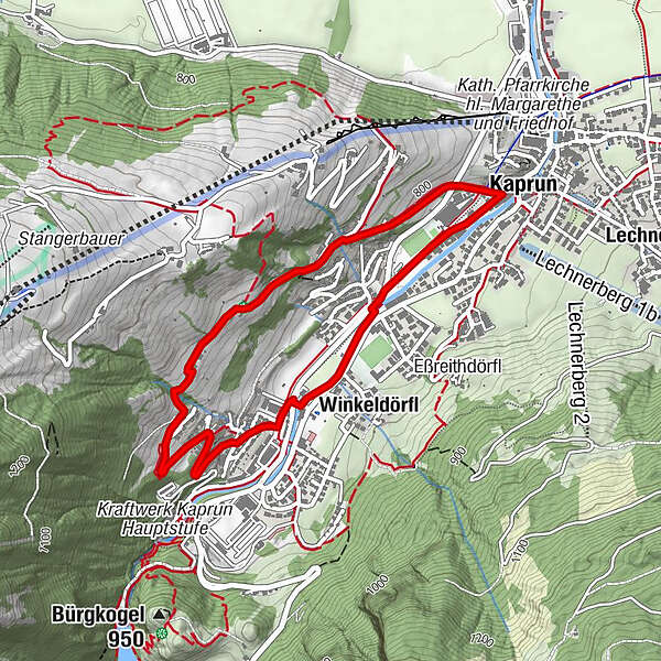
KaprunOrt1.1 kmWerkssiedlung2.4 kmZur Muhle3.0 kmWinkeldörfl3.2 kmKaprun4.2 km
- Best season
-
AugSepOctNovDecJanFebMarAprMayJunJul
- Description
-
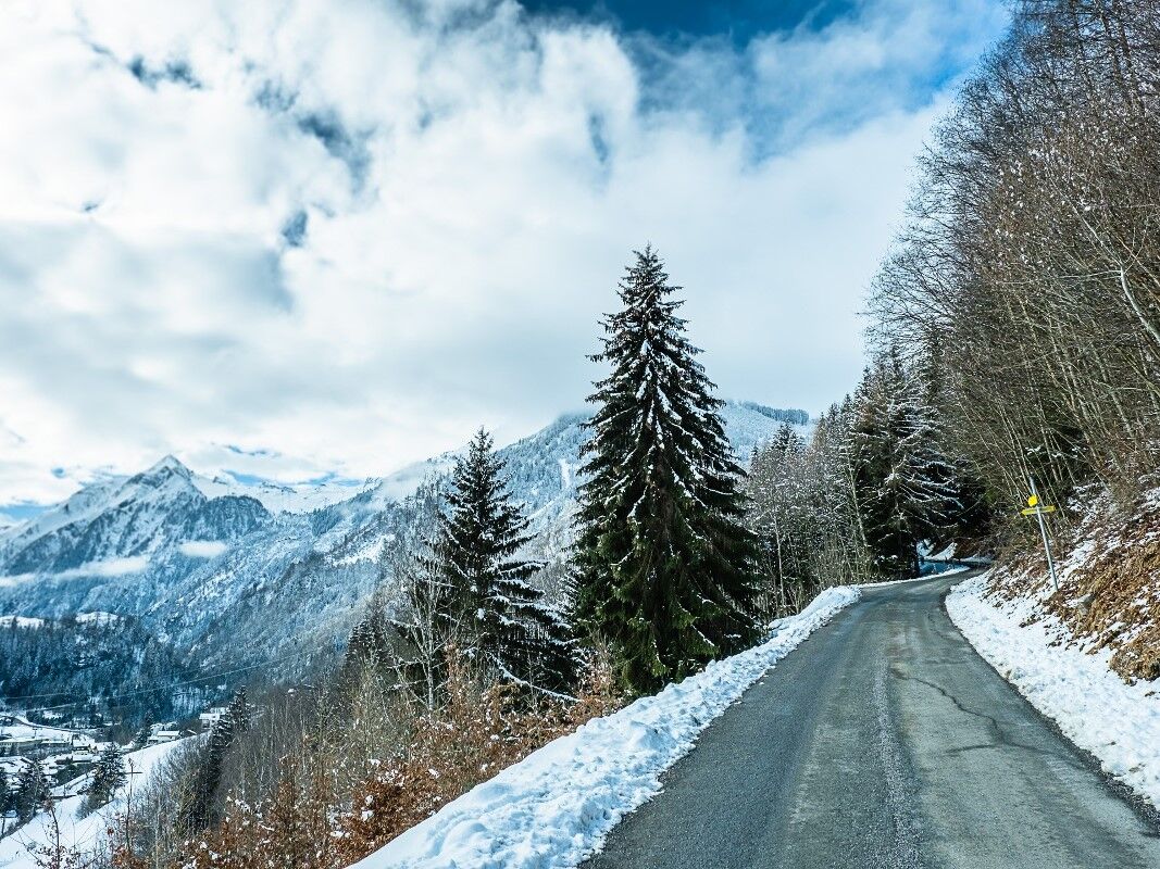
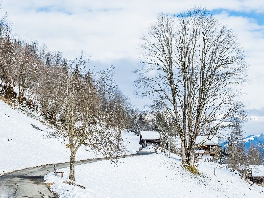
A winter hiking trail of intermediate difficulty that first leads along an asphalted road, then through a small forest and past beautiful farms back to Kaprun. The beautiful Kitzsteinhorn is always in view during the ascent.
- Directions
-
One takes the Schaufelberg road, just to the first curve and then straight ahead (keeping to the left side path no. 11) passed the Ortlehen and Großental farms. The road ends at the Großental farm and over the Menggraben you reach the Werkssiedlung. (Achenweg Nr. 21 back to Kaprun).
- Highest point
- 891 m
- Endpoint
-
Kaprun south
- Height profile
-

- Directions
-
Bus, car
- Public transportation
-
Bus 660


-

-
AuthorThe tour Großentalpath is used by outdooractive.com provided.
GPS Downloads


General info
A lot of view
Other tours in the regions