- Brief description
-
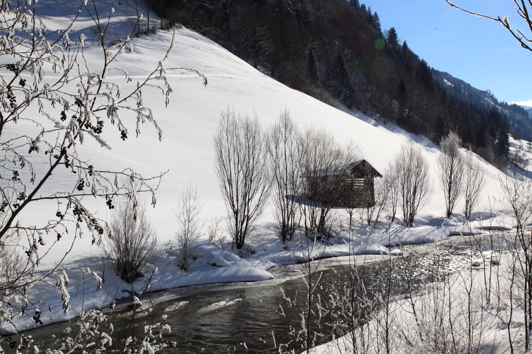
Comfortable winter hike in Grossarl along the river, where you can have a break at Hotel Schiederhof and Hotel Fichtenhof.
- Difficulty
-
easy
- Rating
-
- Starting point
-
Grossarl - village center
- Route
-
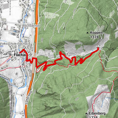
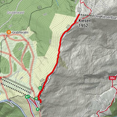
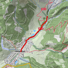
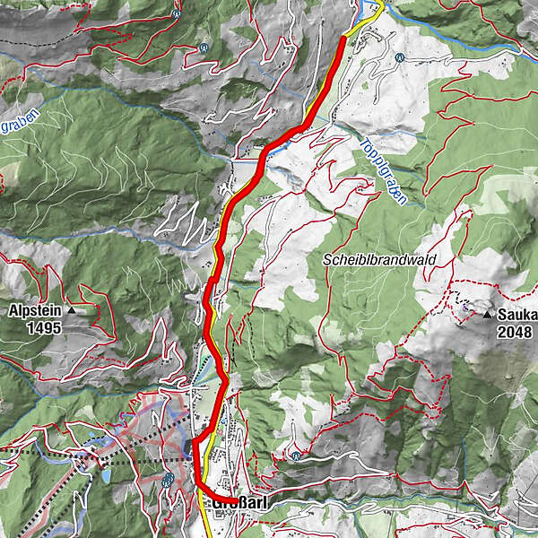
GroßarlUnterkronbichl0.3 kmRabenpalfen3.0 kmGroßarler Genuss-Bistro4.1 kmAussichtspunkt am Rad - und Gehweg Großarltal6.1 kmRabenpalfen7.5 kmUnterkronbichl10.2 kmGroßarl10.7 km
- Best season
-
AugSepOctNovDecJanFebMarAprMayJunJul
- Description
-
Comfortable winter hike from the village center of Grossarl along the river. After about 3 km you reach the Hotel Schiederhof and at the end of the promenade you can reach the Hotel Fichtenhof via the Auschulweg. There you can warm up with a cup of hot tea. Back on the same way.
There is the possibilty to go one direction by public bus.
- Directions
-
You walk from the village center of Grossarl to the roundabout and continue to Unterberg. You cross the large mountain railway car park, pass the Hotel Tauernhof and contine ono the promenade in the direction to Schied / Au, approx. 4 km to the bistro Grossarler Genuss, then a short distance along the street and at the Hinterhofweg you continue along the promenade about 1 km. Back on the same way or by public bus.
Inns: Hotel Schiederhof, Grossarler Genuss and Hotel Fichtenhof
- Highest point
- 892 m
- Endpoint
-
End of walking way
- Height profile
-

- Equipment
-
winter boots
- Tips
-
This winter hike is feasible for children's carriages or sleds.
- Additional information
- Directions
-
You go by car or public bus no. 540 to the village center of Grossarl.
- Public transportation
- Parking
-
parking spaces at the gas station, or in the south of Grossarl and Bergbahnen parking
- Author
-
The tour Grossarl: Winter hike to Schied & Au is used by outdooractive.com provided.