


- Brief description
-
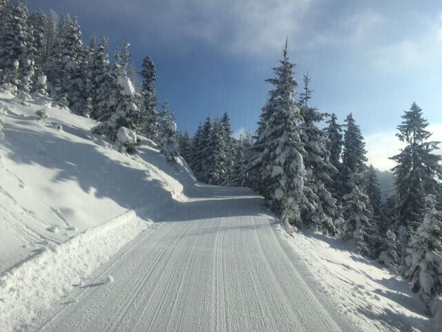
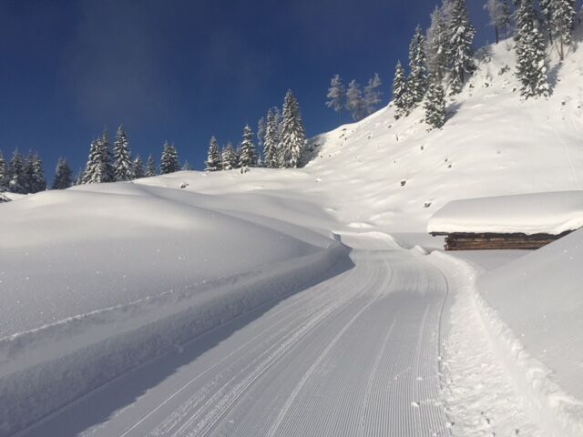
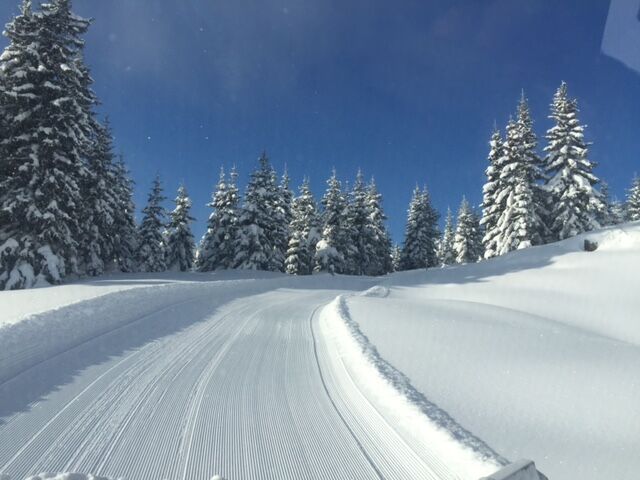
Pleasant and panoramic winter hike from the Dörfl am Hochkönig to the beautiful Bürglalm at 1,593m. Prepared winter hiking trail through the snow-covered forests and meadows in the beautiful Dientner Tal am Hochkönig.
- Difficulty
-
medium
- Rating
-
- Starting point
-
Ski centre Dienten
- Route
-
Dienten am HochkönigBürglalm5.2 km
- Best season
-
AugSepOctNovDecJanFebMarAprMayJunJul
- Description
-
We start our hike in the village of Dienten after the Hotel Salzburgerhof at the house Dienten on the left side. This is where the forest path to the Lengthalalm or Hirscheggalm begins. We follow the prepared winter hiking trail through the forest until we reach the Lengthalalm. Here it gets sunnier as we are walking a bit outside the forest. Continue through the forest again until we reach the turn-off left - Bürglalm (yellow sign). We follow the path uphill until we reach the storage pond at the Bürglalm. Here we go below the valley station Wastlhöhe to the Bürglalm.
The way back is the same way back to the village or with the Bürglalmbahn cable car.
- Directions
-
We start our hike in the village of Dienten after the Hotel Salzburgerhof at the house Dienten on the left side. This is where the forest path to the Lengthalalm or Hirscheggalm begins. We follow the prepared winter hiking trail through the forest until we reach the Lengthalalm. Here it gets sunnier as we are walking a bit outside the forest. Continue through the forest again until we reach the turn-off left - Bürglalm (yellow sign). We follow the path uphill until we reach the storage pond at the Bürglalm. Here we go below the valley station Wastlhöhe to the Bürglalm.
The way back is the same way back to the village or with the Bürglalmbahn cable car.
- Highest point
- 1,576 m
- Endpoint
-
Bürglalm
- Height profile
-

- Equipment
-
Sturdy, waterproof footwear
Possibly snow shoes
Appropriate winter clothing with gloves
Adjustable poles
Bagpack with hot drink and light snack
Necessary medication
First aid kit - Safety instructions
-
Stay on the marked hiking trails. Small steps and a steady pace save energy going uphill and protect your joints going downhill. If you tilt your upper body slightly forward when going downhill, you reduce the risk of slipping. Check the weather forecast. Fog and bad weather can come surprisingly quickly. Turn back in good time before you take a risk. Do not leave waste in the countryside
Emergency numbers: Alpine emergency call: 140
International emergency call: 122 - Tips
-
With the Bürglalmbahn, up and downhill rides are also possible for pedestrians.
- Additional information
- Directions
-
Coming from Salzburg: Take the A10 freeway to the Bischofshofen exit, then take the B311 in the direction of Bischofshofen. Follow the Hochkönig Bundesstraße/B164 to Mühlbach and further to Dienten.
Coming from Innsbruck/ Kufstein: On the Loferer Straße/B178 in the direction of St. Johann i.T., then on the Hochkönig Bundesstraße/B164 via Saalfelden and Maria Alm to Dienten or to the Filzensattel.
A valid vignette is required to use the Austrian motorway and motorway network. It is also compulsory to carry a first-aid kit, warning triangle and high-visibility waistcoat. Further information can be found under Asfinag. - Public transportation
- Parking
-
Free parking at the Dienten Ski Centre

- Author
-
The tour Winter hiking to Bürglalm is used by outdooractive.com provided.


General info
-
Hochkönig
144
-
Dienten am Hochkönig
50


