© Heidi Pöllitzer
© Heidi Pöllitzer
© Heidi Pöllitzer
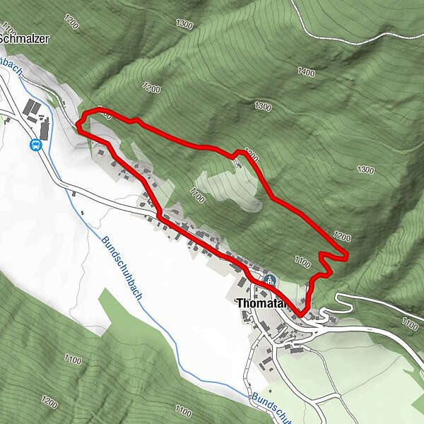
Tour data
2.3km
1,051
- 1,192m
137hm
118hm
01:30h
- Brief description
-
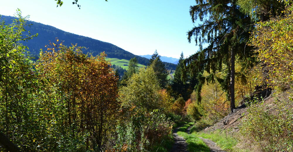
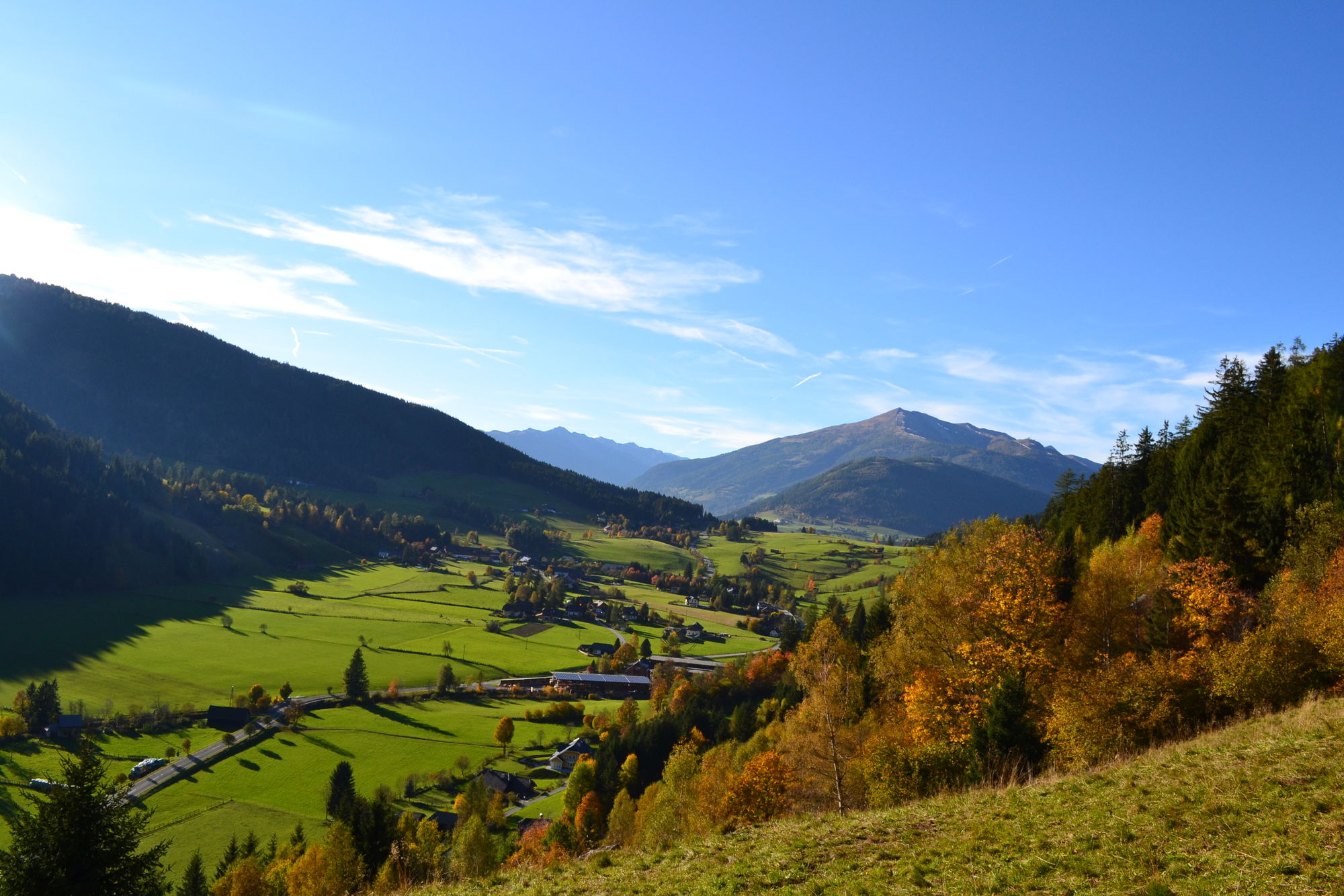
Rundweg mit tollem Panorama
- Difficulty
-
medium
- Rating
-
- Starting point
-
Thomatal Ortsmitte
- Route
-
Thomatal2.2 km
- Best season
-
JanFebMarAprMayJunJulAugSepOctNovDec
- Highest point
- 1,192 m
- Endpoint
-
Thomatal Ortsmitte

GPS Downloads


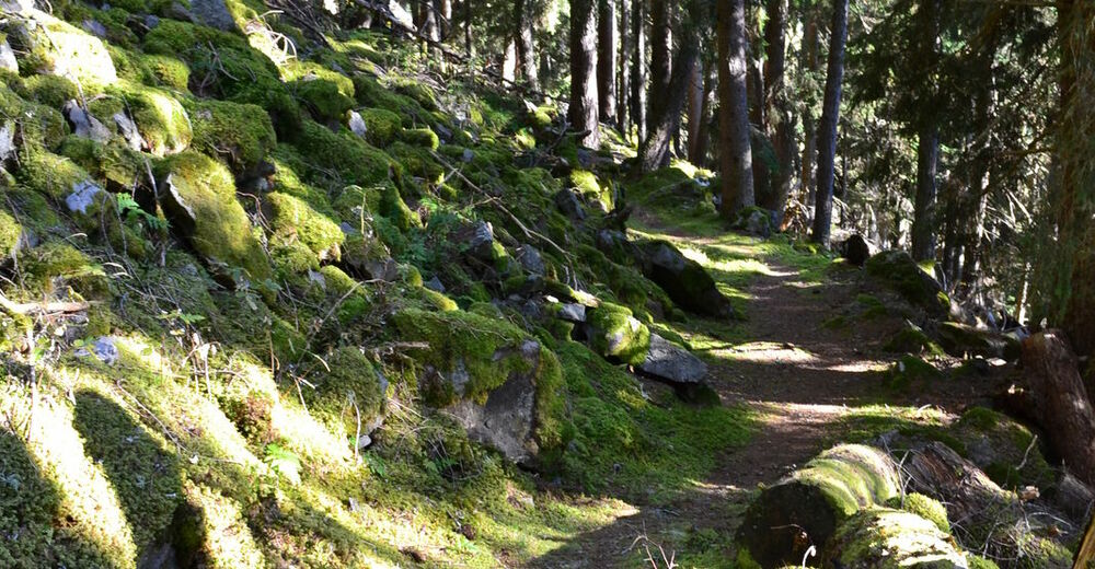
Trail conditions
Asphalt
Gravel
Meadow
Forest
Rock
Exposed
Other tours in the regions