
© Hotel Alpendorf - Aktivhotel Alpendorf
© Hotel Alpendorf - Aktivhotel Alpendorf
© Hotel Alpendorf - Aktivhotel Alpendorf
© Hotel Alpendorf - Aktivhotel Alpendorf
© Hotel Alpendorf - Aktivhotel Alpendorf
© Hotel Alpendorf - Aktivhotel Alpendorf
© Hotel Alpendorf - Aktivhotel Alpendorf
© Hotel Alpendorf **** ☀️

- Brief description
- Difficulty
-
easy
- Rating
-
- Best season
-
JanFebMarAprMayJunJulAugSepOctNovDec
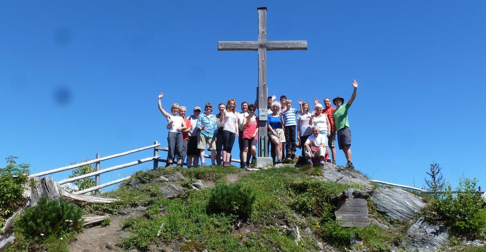
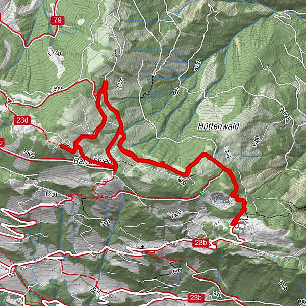
- Highest point
- 1,577 m
- Endpoint
-
Parkplatz Kinderalm in St. Veit im Pongau
- Height profile
-

-

-
AuthorThe tour Ruheoasenweg zum Hochglocker is used by outdooractive.com provided.
GPS Downloads


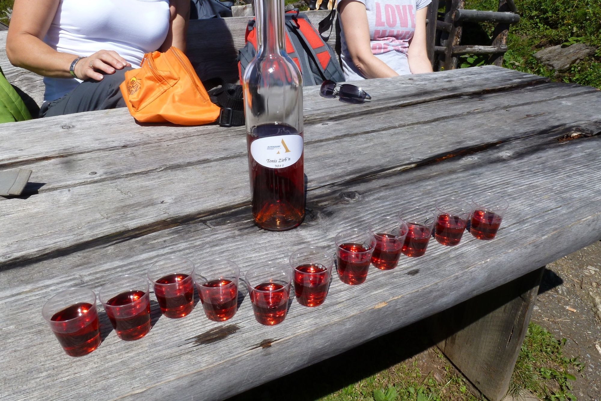
General info
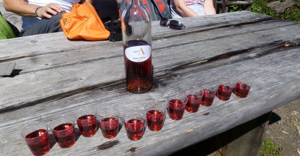
Flora
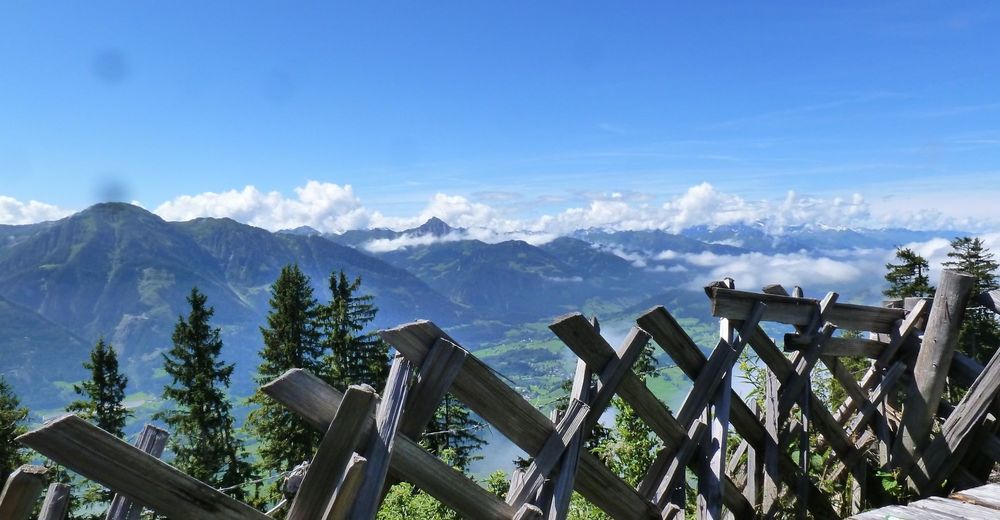
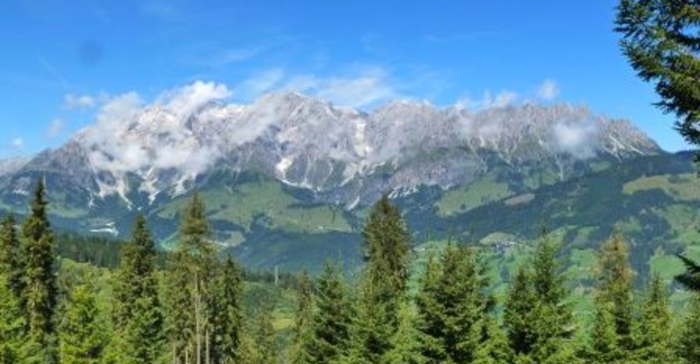
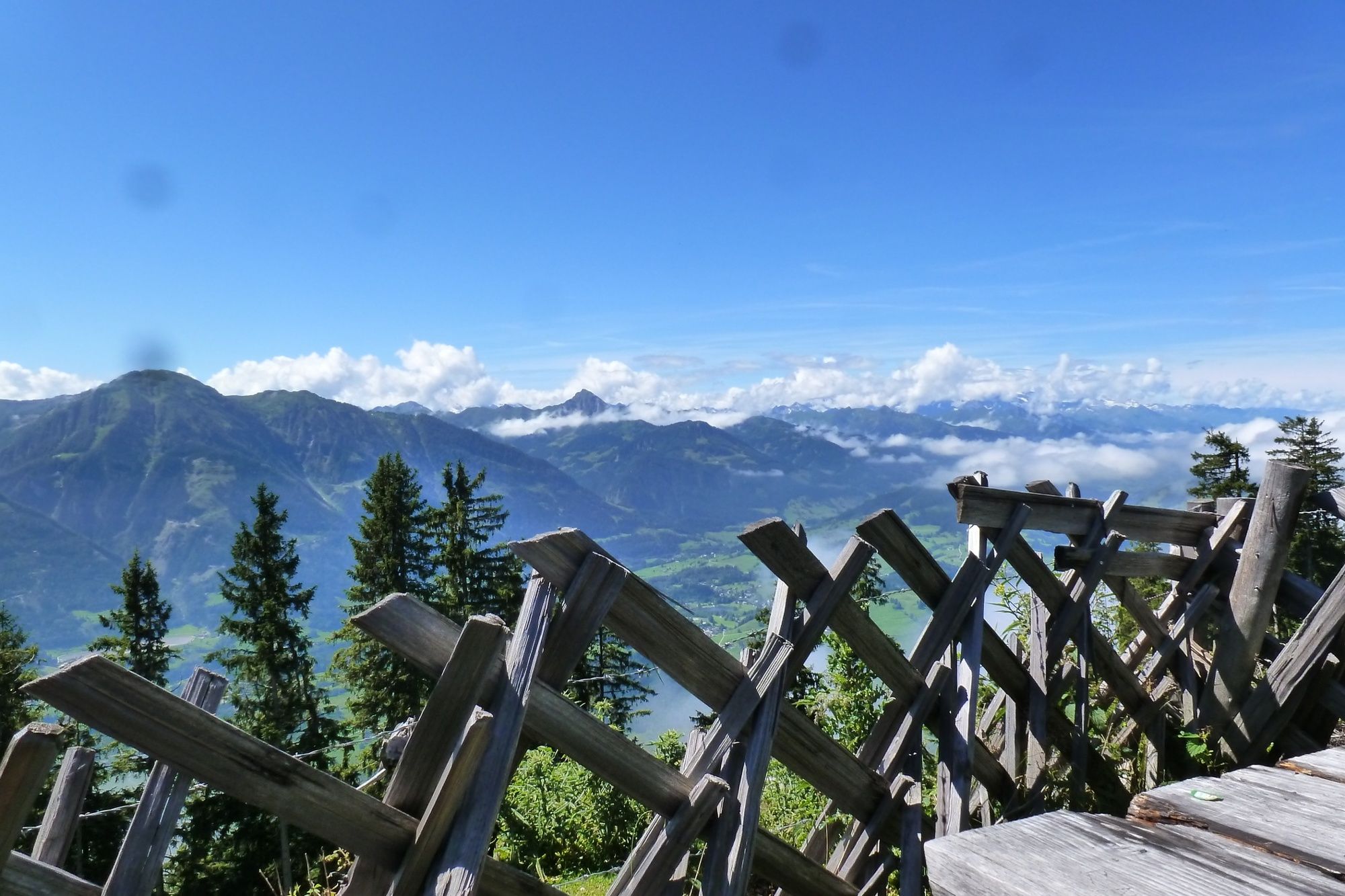
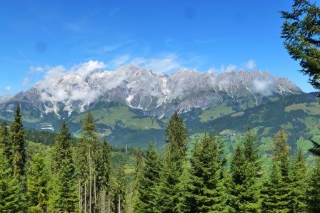
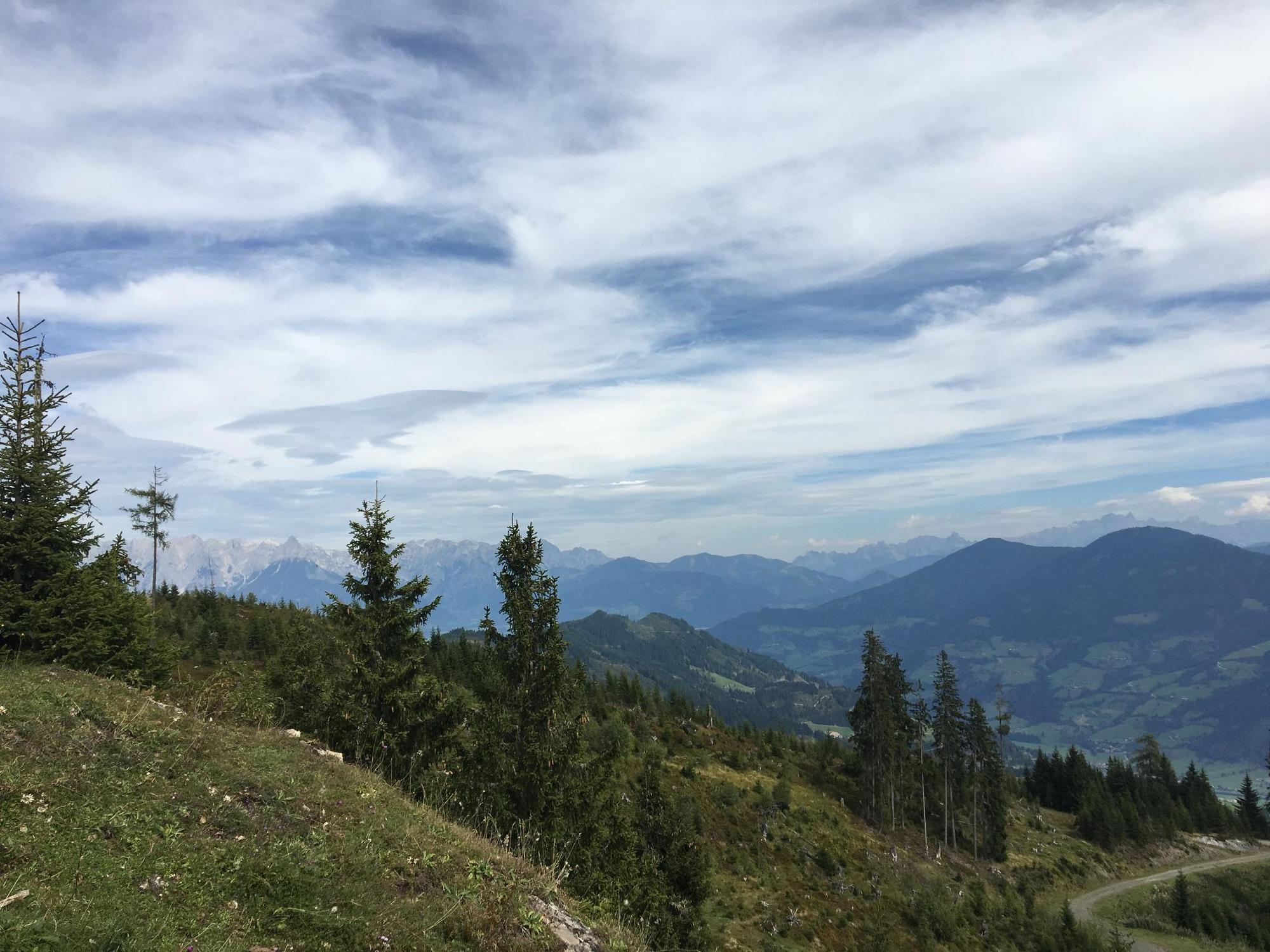
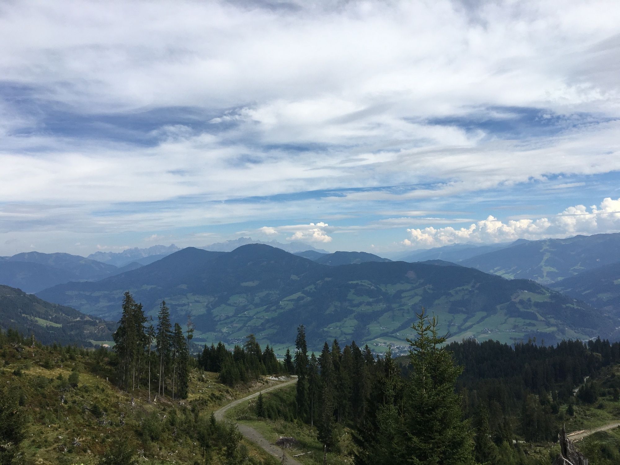
A lot of view
Other tours in the regions


