

© Schmittenhöhebahn AG - Max Steinbauer

© Schmittenhöhebahn AG

© Schmittenhöhebahn AG

© Schmittenhöhebahn AG


- Brief description
-
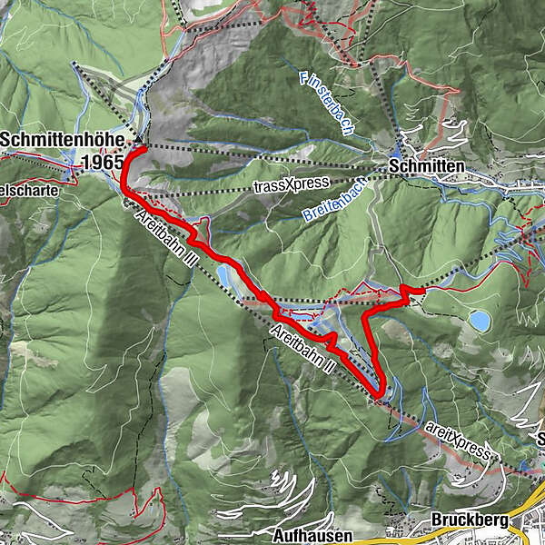
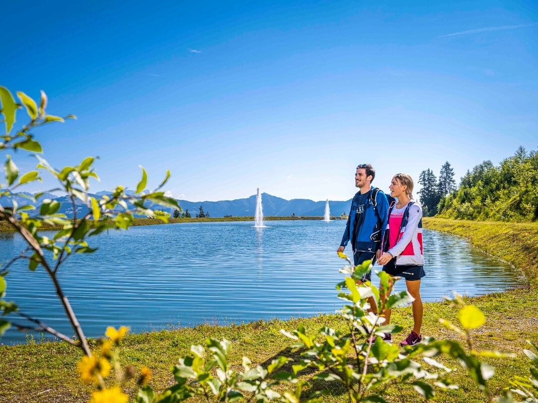
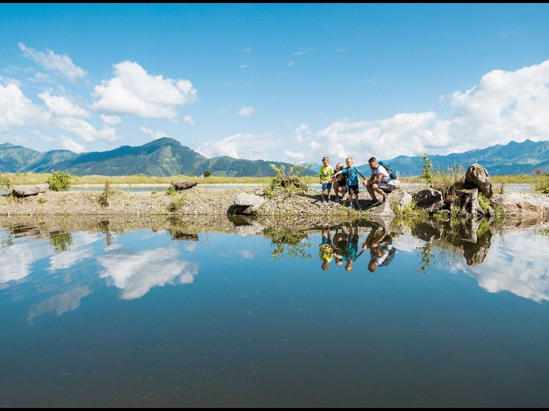
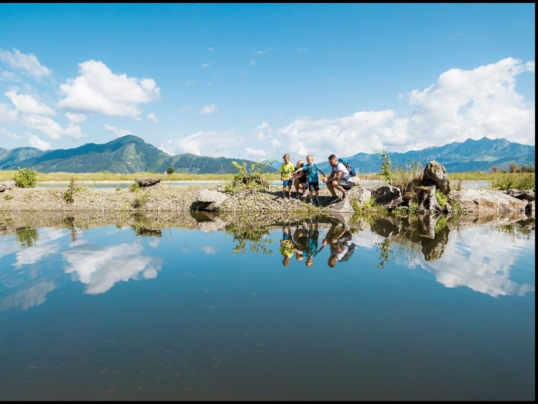
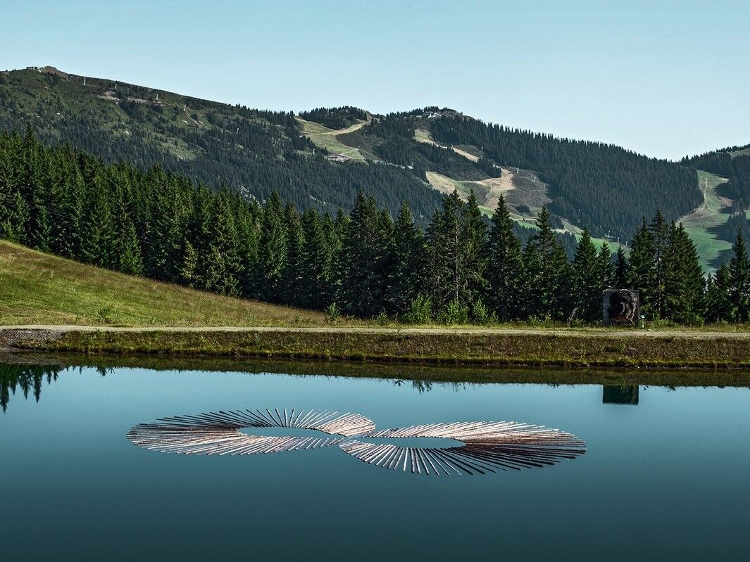
Enjoy a marvellous hiking day to our three mountain lakes and the Zeller See with a stunning view to more than thirty 3,000 meter peaks.
- Difficulty
-
medium
- Rating
-
- Starting point
-
Schmittenhöhe valley station
- Route
-
Schmittenhöhe (1,965 m)0.0 kmGlocknerhaus2.7 kmGlühende Kohlen4.3 kmDrachenturm4.3 kmFeuerbrücke4.4 kmLuftige Höhe4.5 kmSteilhang4.6 kmVerschlungener Pfad4.6 kmFeuer & Wasser4.6 kmTarzanbahn4.7 km
- Best season
-
JanFebMarAprMayJunJulAugSepOctNovDec
- Description
-
Ascent with the Schmittenhöhebahn and visit of the Elisabeth chapel possible,
Hike to the 3 reservoir lakes along walking path no. 50. Descent to the valley with the cityXpress and back to Schmittenhöhe valley station with bus no. 71.
- Directions
-
Hike to the 3 reservoir lakes along walking path no. 50. Descent to the valley with the cityXpress and back to Schmittenhöhe valley station with bus no. 71.
- Highest point
- 1,933 m
- Endpoint
-
valley station cityXpress
- Height profile
-

- Equipment
-
Good food wear, protection agains rain and sun! The weather can change quickly in the mountains!
- Additional information

-

-
AuthorThe tour 4 Lake Hiking Tour is used by outdooractive.com provided.
GPS Downloads


General info
Refreshment stop
Fauna
A lot of view
Other tours in the regions
-
Zell am See - Kaprun
1503
-
Schmittenhöhe
522


