


- Brief description
-
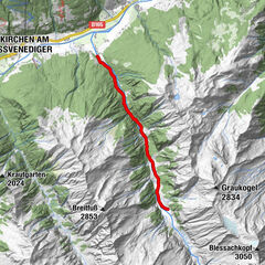
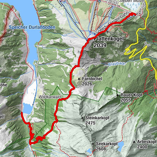
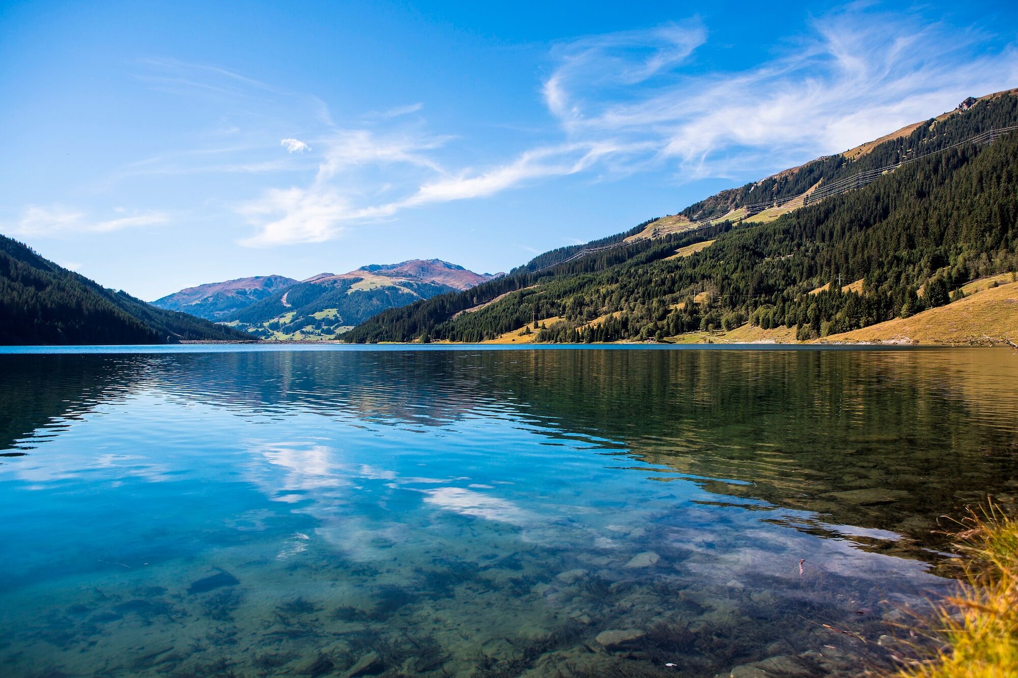
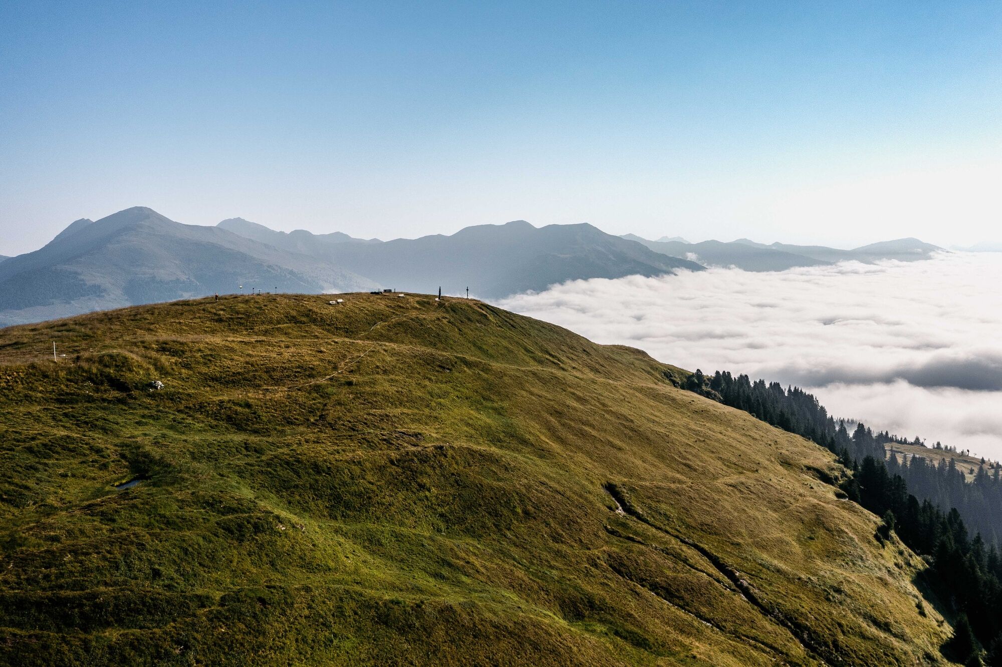
A tour from Hochkrimml to the start of Wildgerlostal.
- Difficulty
-
medium
- Rating
-
- Route
-
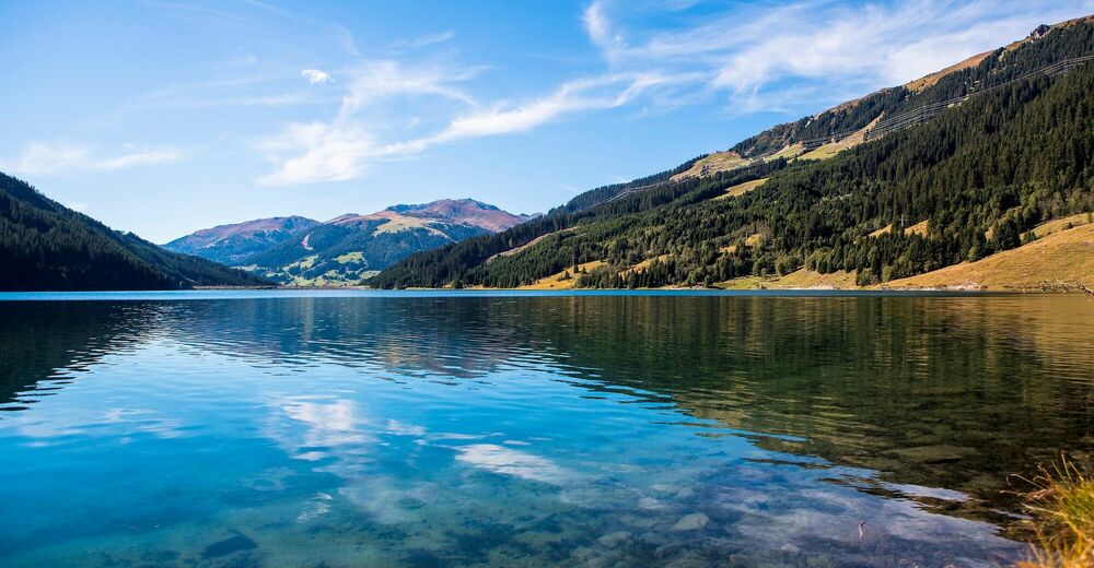
FilzsteinalmHochkrimml0.1 kmPlattenkogel (2,039 m)2.1 kmTrissl Alm7.4 kmAlpengasthof Finkau9.0 km
- Best season
-
JanFebMarAprMayJunJulAugSepOctNovDec
- Description
-
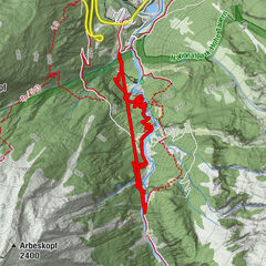
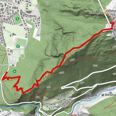
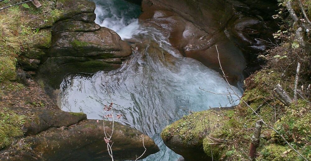
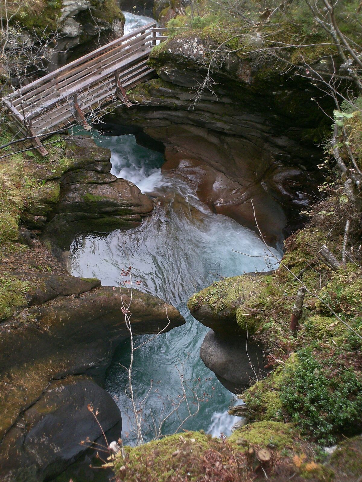
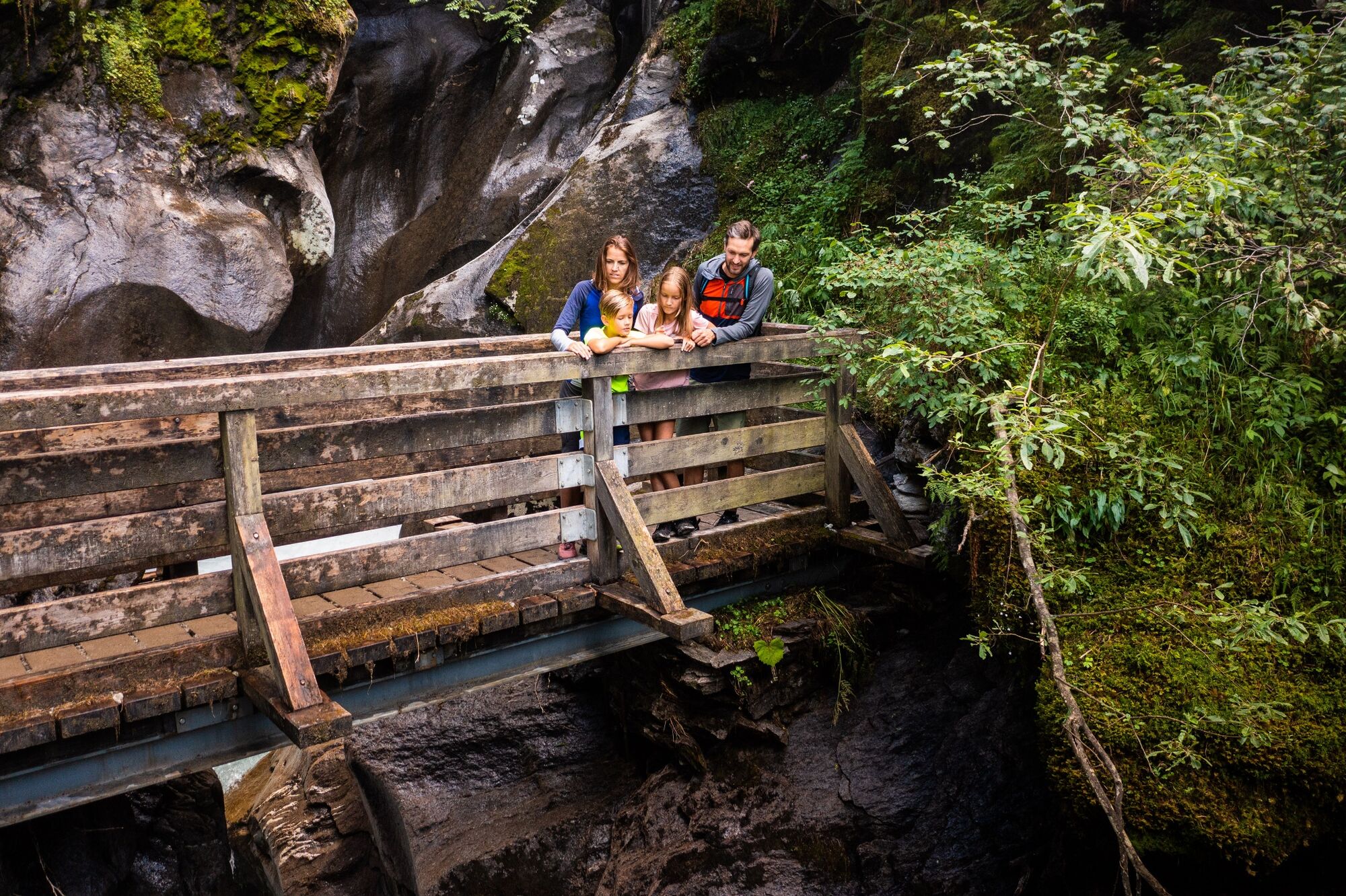
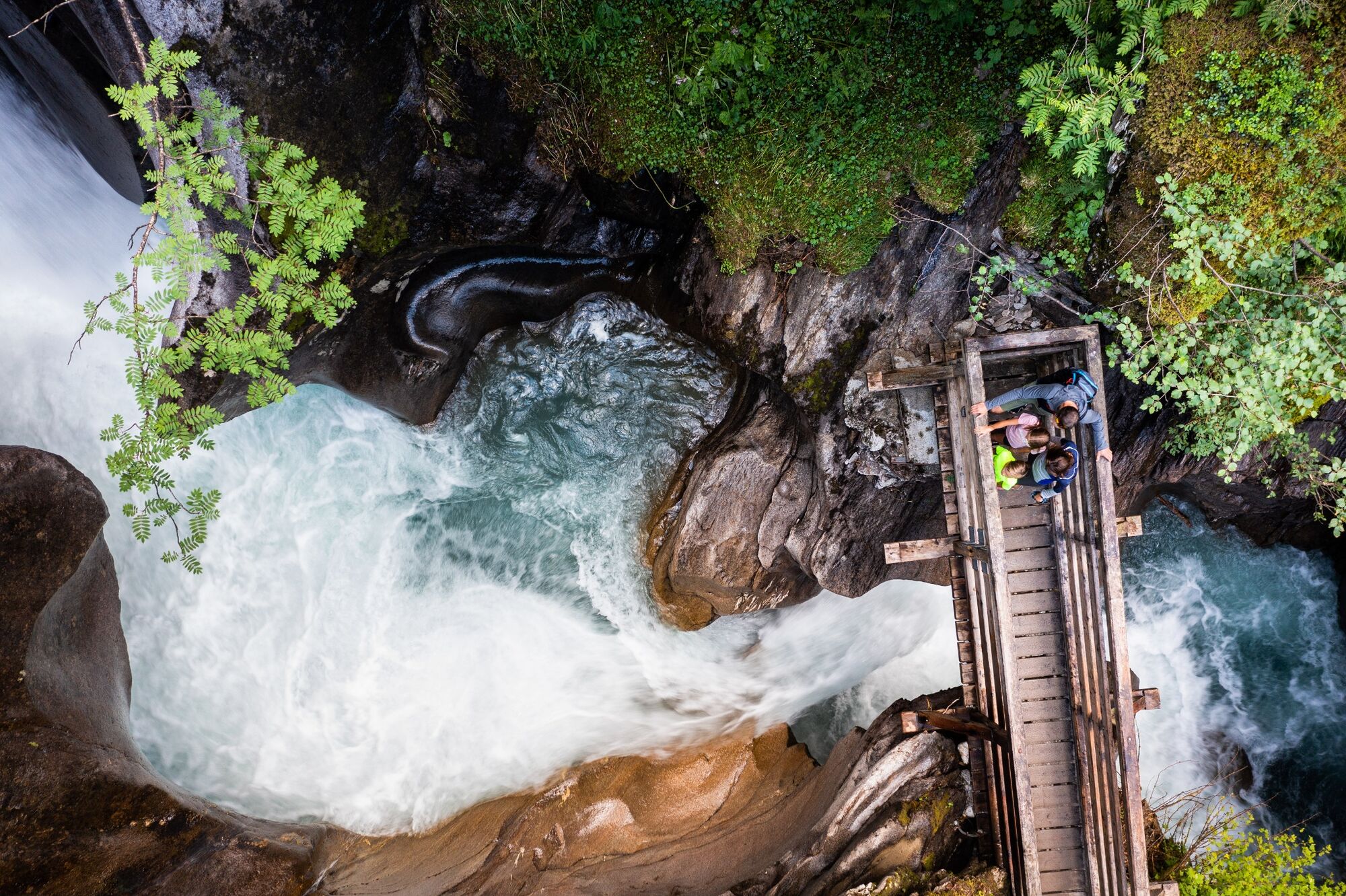
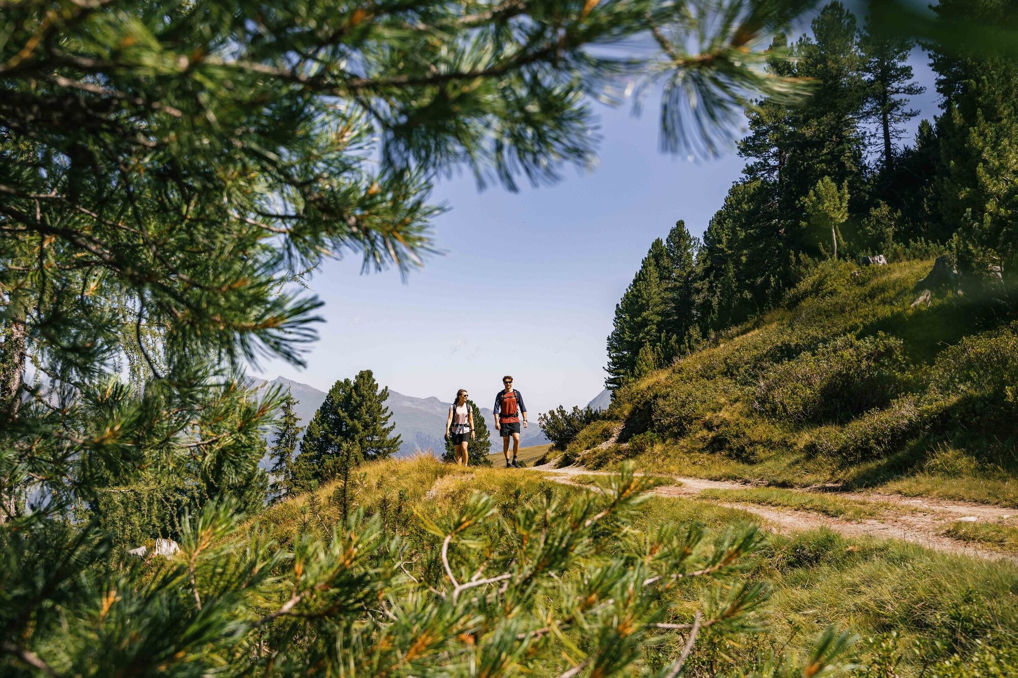
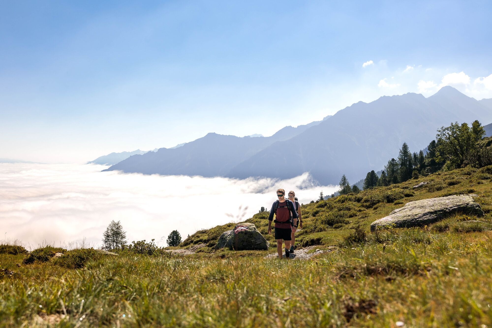
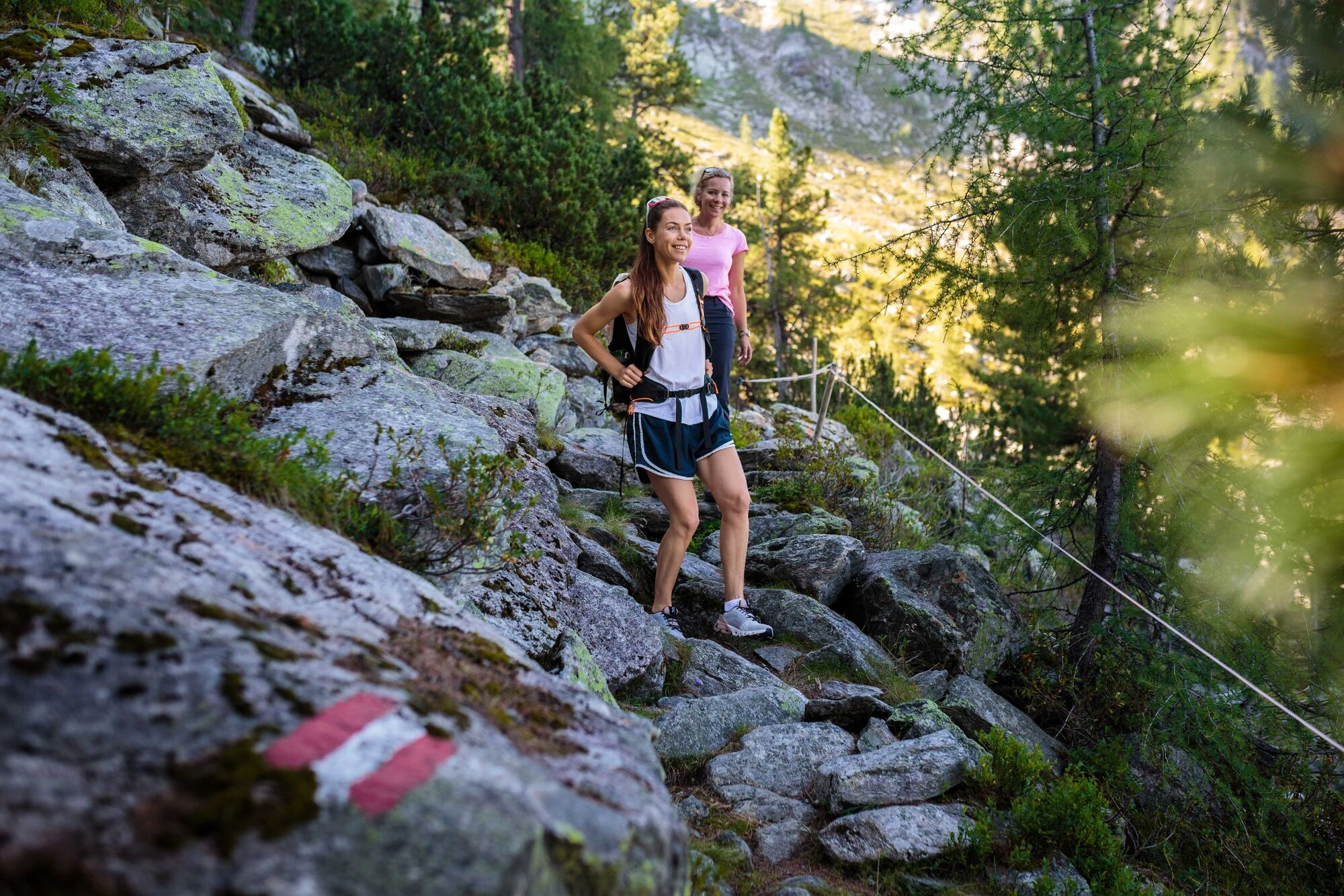
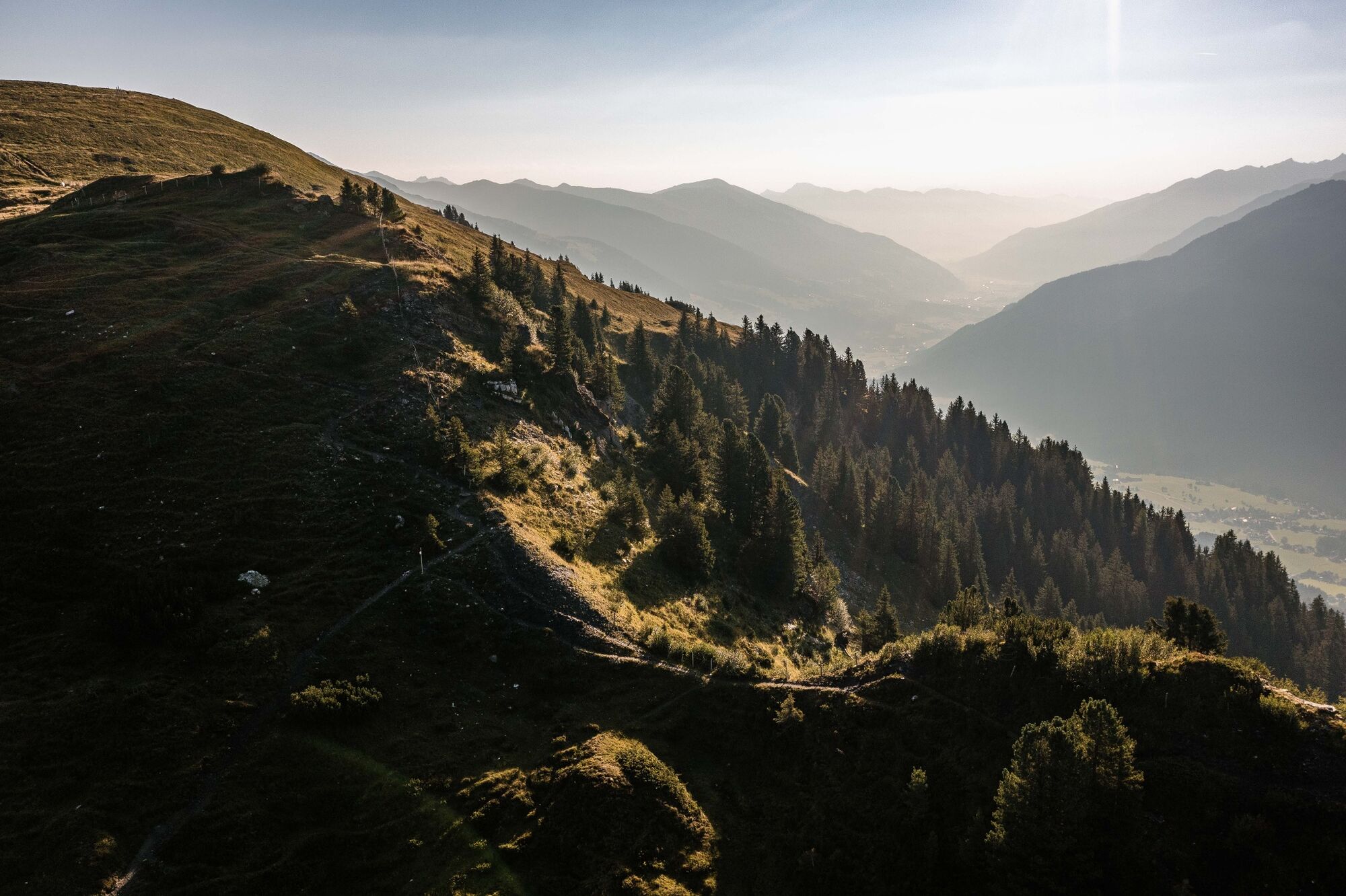
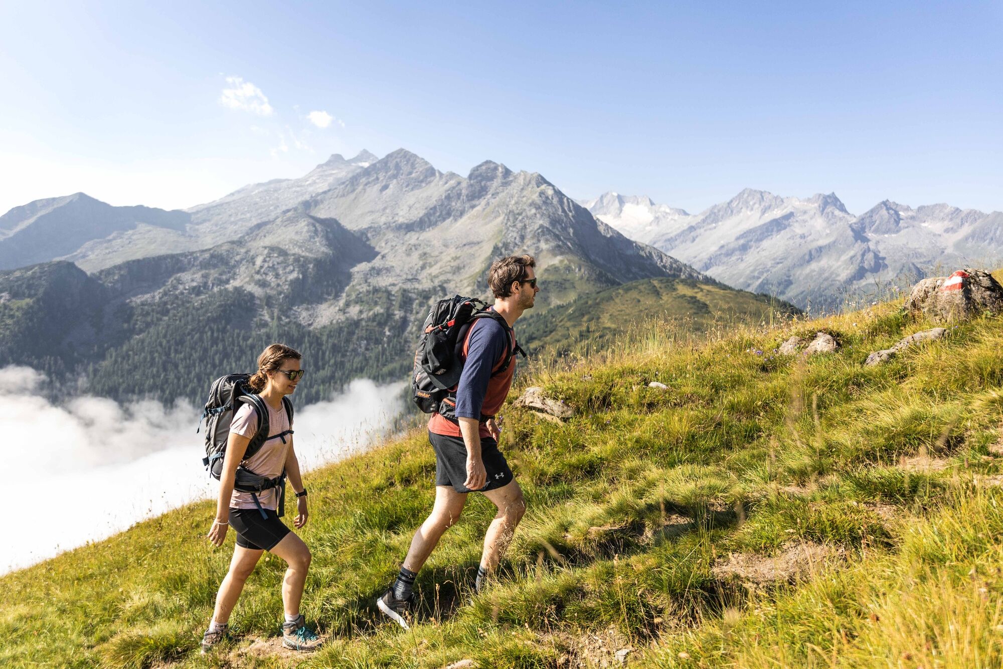
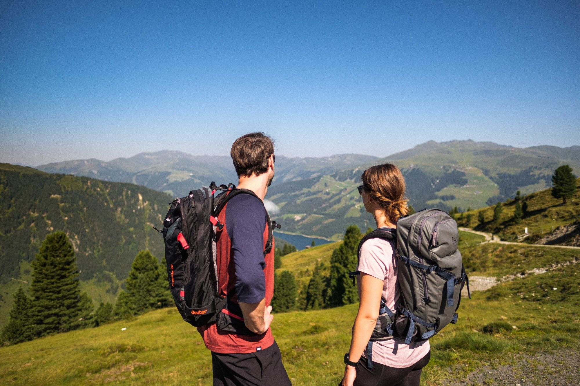
This hike begins at Alpengasthof Filzstein on the Gerlosplatte. From here, you will follow the hiking path leading across mountain meadows in the direction of the Plattenkogel. At this point, you have glorious views of the entire Salzachtal, as well as the other side all the way down to Durlassboden reservoir. This marks the start of the actual Leitenkammersteig, taking you through beautiful pine forests to the Wildkar Hochalm. From here, you will make your way downhill through the forest to the Trissl Alm, which provides you with a great opportunity for refreshments. Now you come to the highlight of this tour – the Leitenkammerklamm natural monument. This gorge is characterized by extremely interesting erosion formations including several natural “tubs”. The final destination of this tour is Hotel Finkau.
- Highest point
- 2,034 m
- Endpoint
-
Familienhotel Finkau
- Height profile
-

- Equipment
-
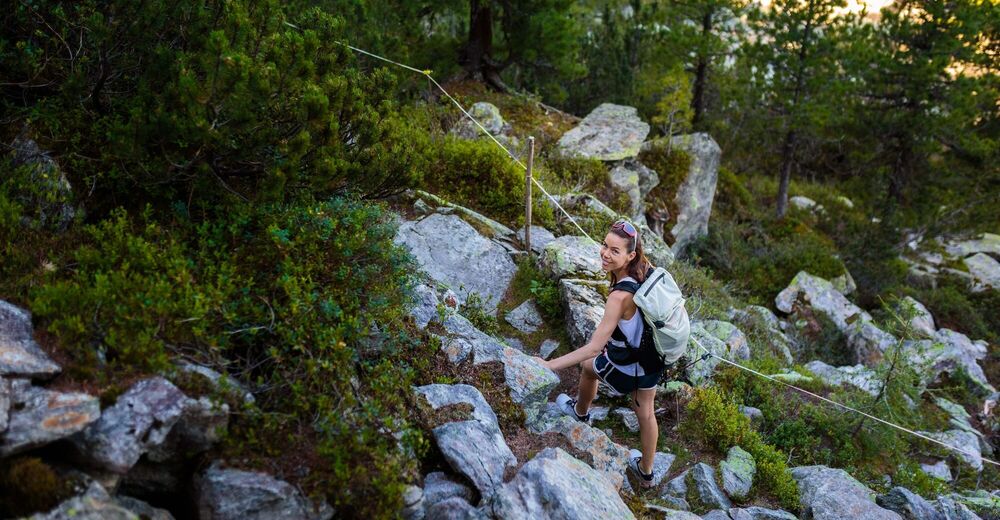
mountain shoes, weatherproof clothing, hiking poles are recommended.
- Safety instructions
-
Surefootedness are a must
Wildkar-Hochalm does not serve refreshments
- Tips
-
You’ll definitely find it rewarding to plan Leitenkammerklamm natural monument (below the Trisslalm) into this tour.
- Directions
-
If you are coming from Tyrol, use the Gerlos Alpenstrasse. Coming from the east, travel in on the B165 via Mittersill.


- Author
-
The tour Leitenkammersteig is used by outdooractive.com provided.


General info
-
Zillertal Arena
1322
-
Krimml - Hochkrimml
325