- Brief description
-
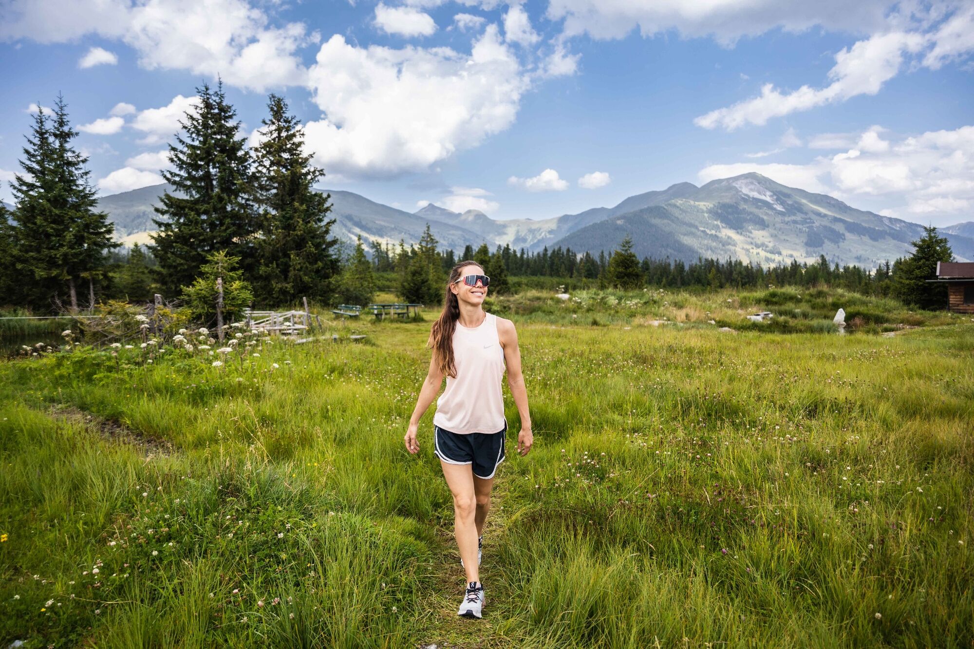
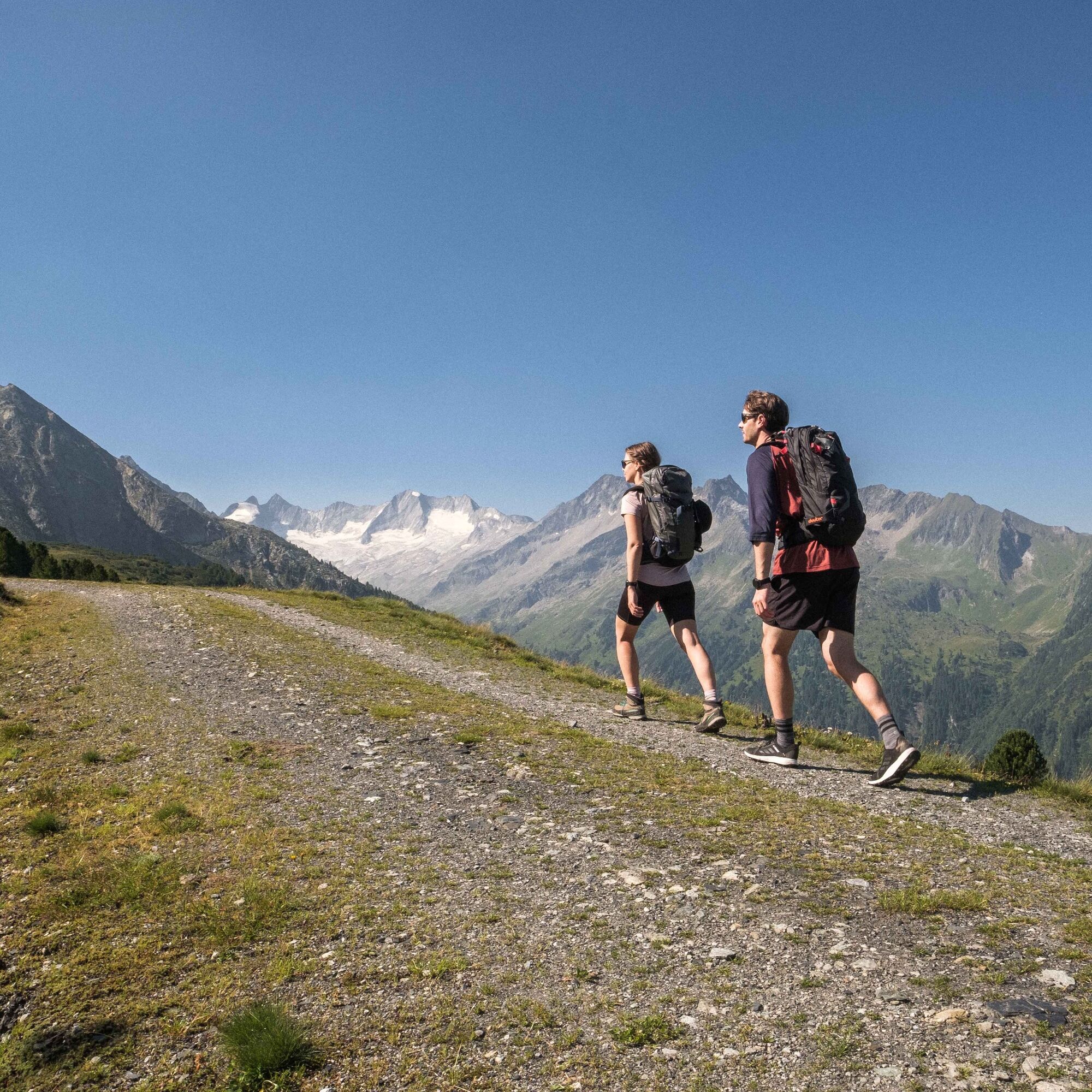
A scenic hiking tour for the whole family including the chance to step out onto a mountain summit.
- Difficulty
-
medium
- Rating
-
- Route
-
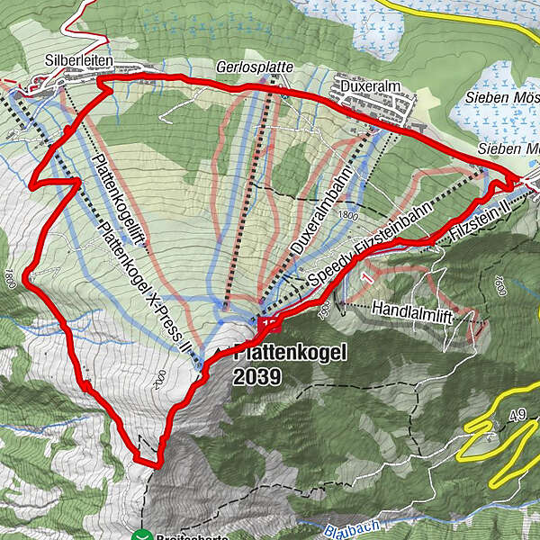
Hochkrimml0.0 kmPlattenkogel (2,039 m)1.9 kmGletscherblickalm3.8 kmSilberleiten5.5 kmDuxeralm6.8 kmDuxeralm Restaurant6.8 kmHochkrimml7.5 km
- Best season
-
JanFebMarAprMayJunJulAugSepOctNovDec
- Description
-
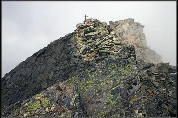
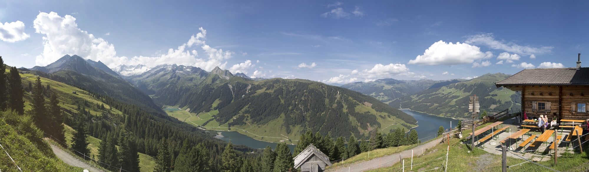
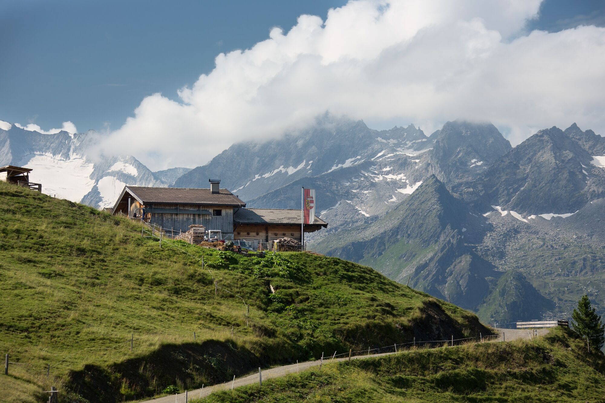
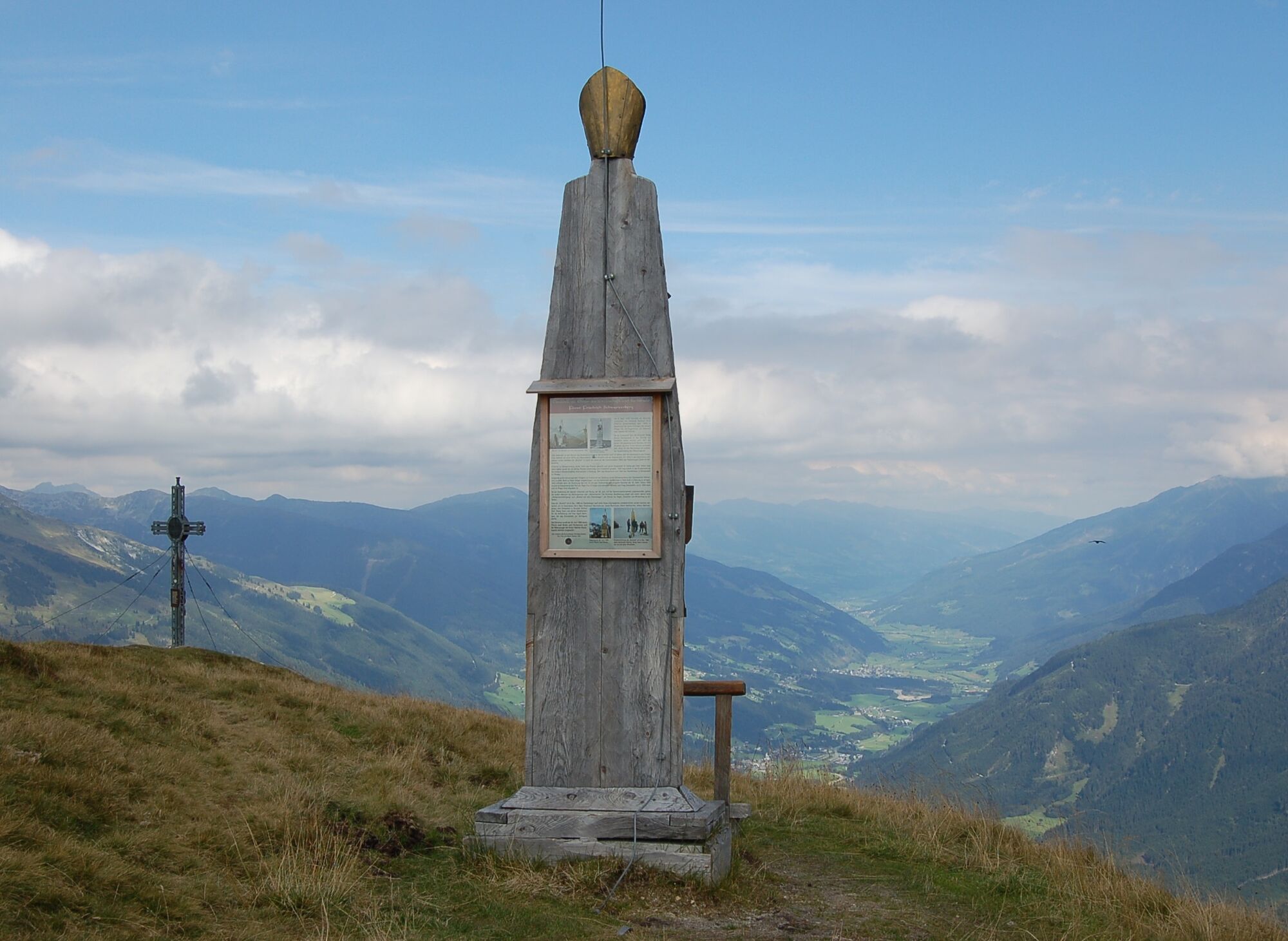
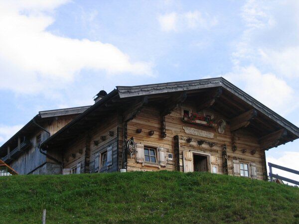
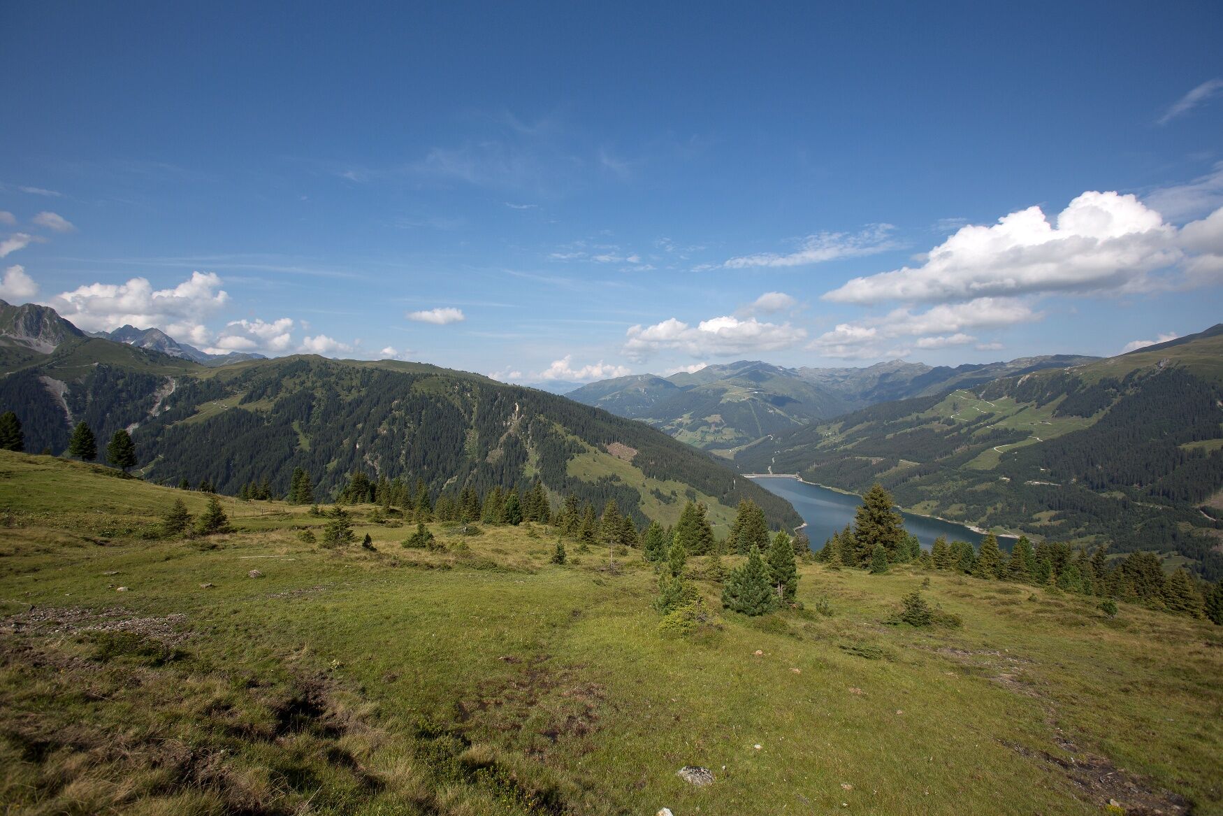
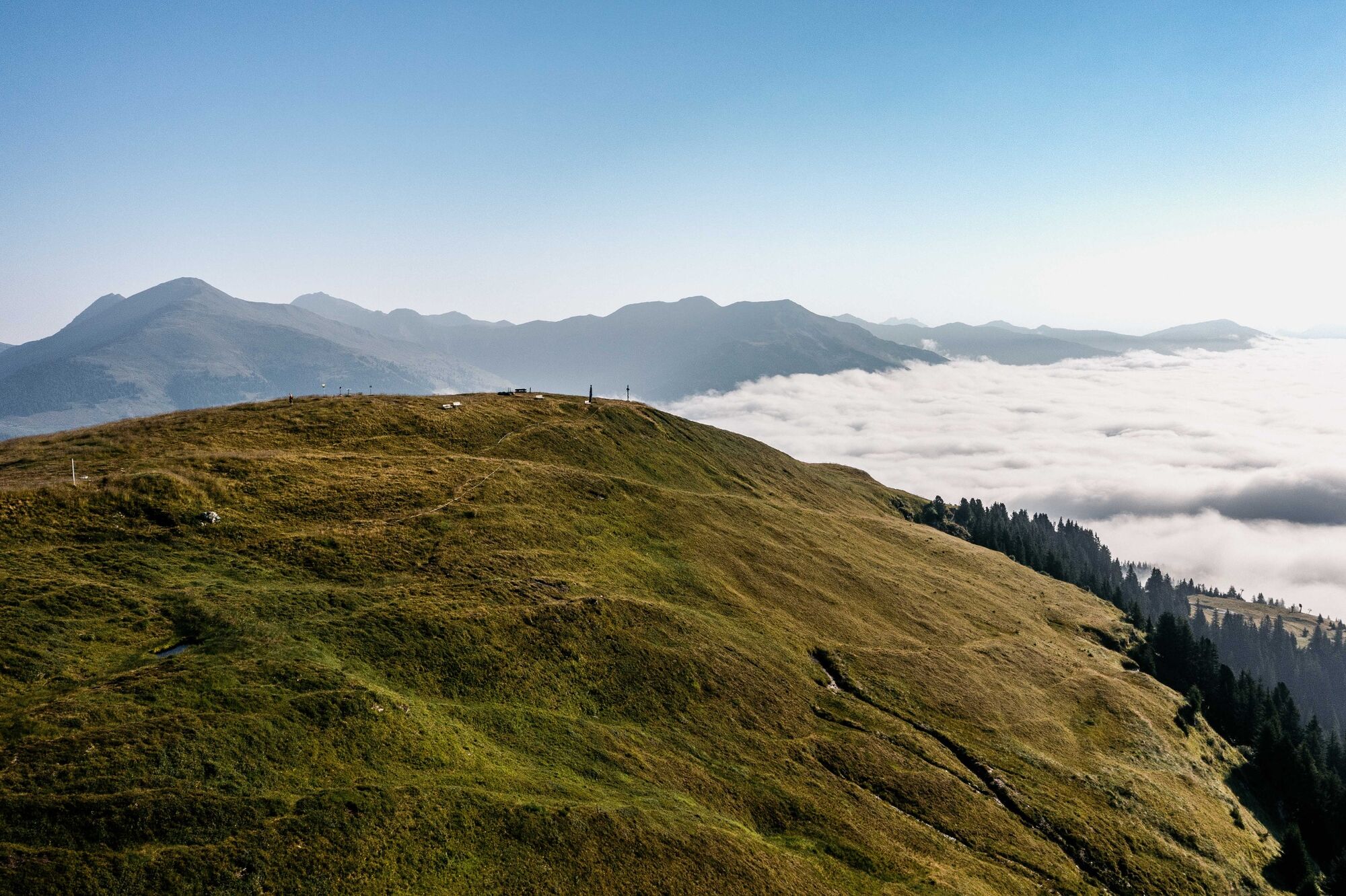
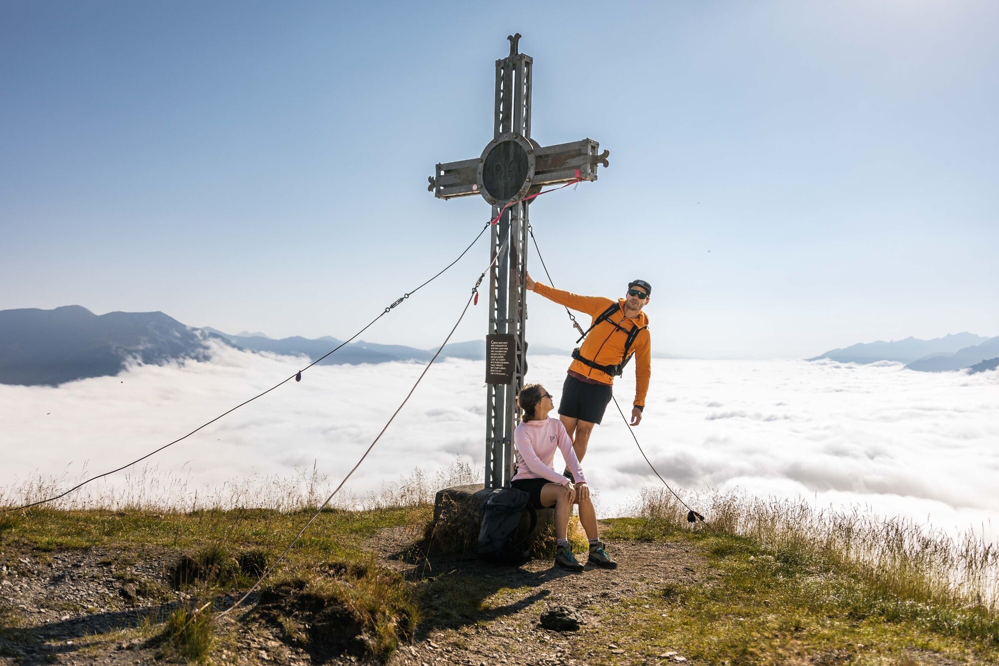
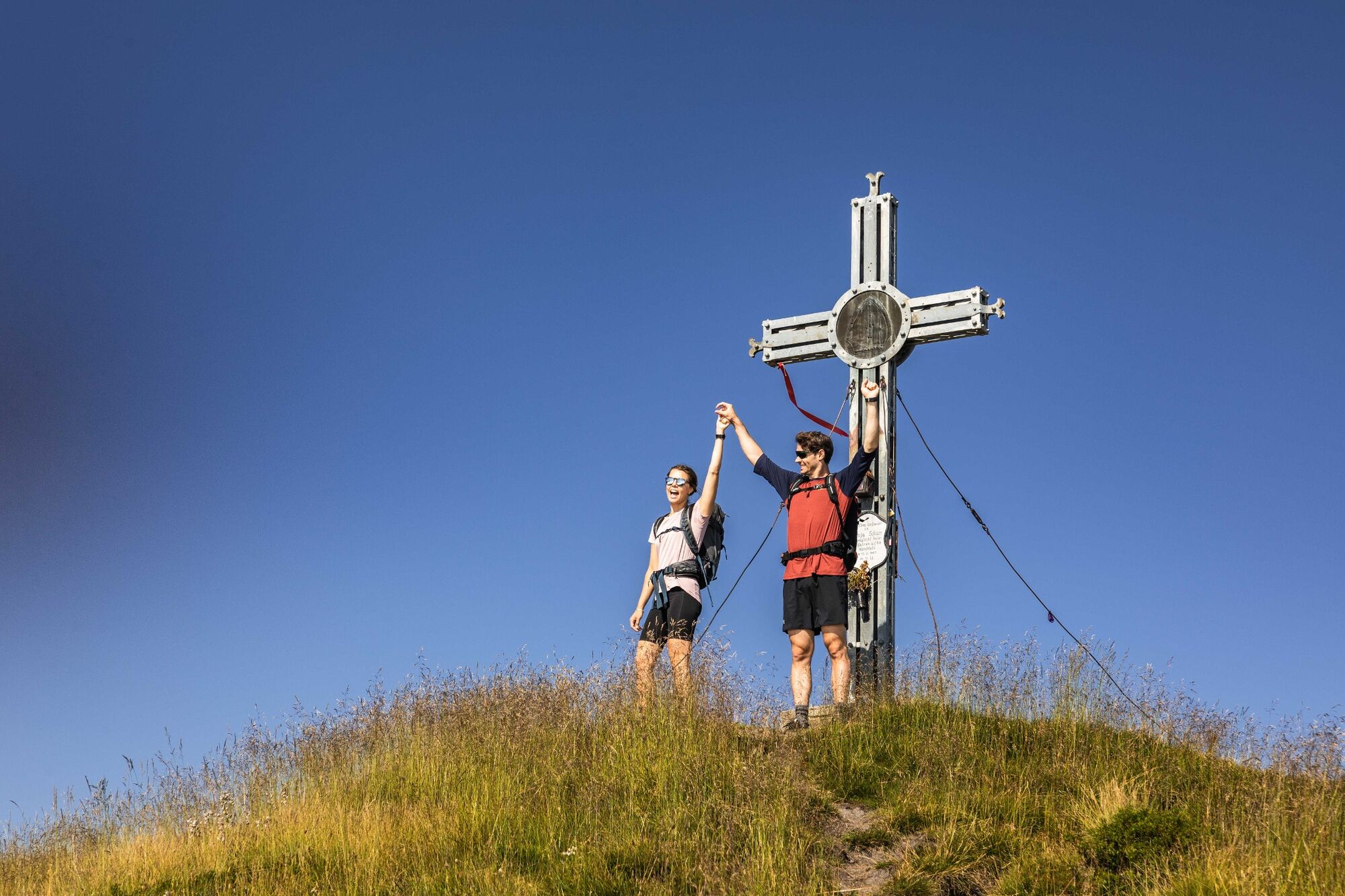
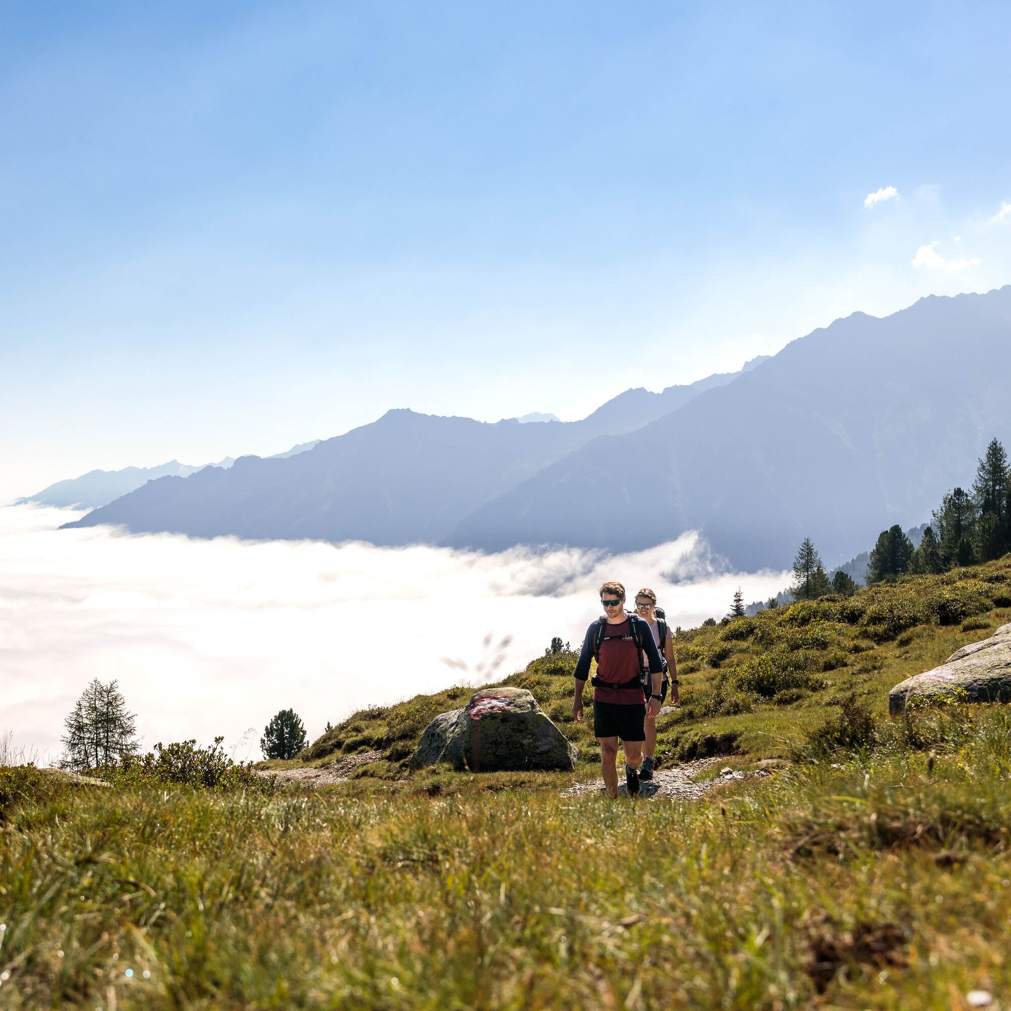
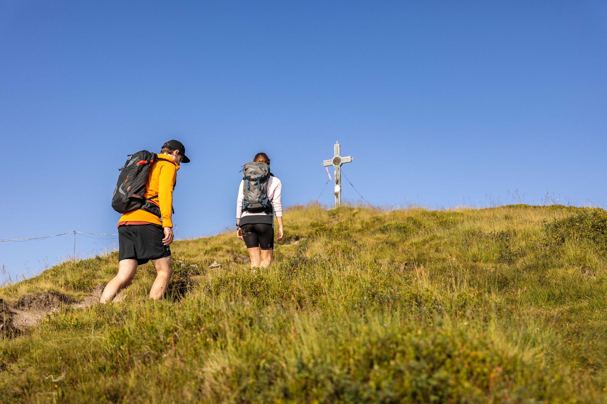
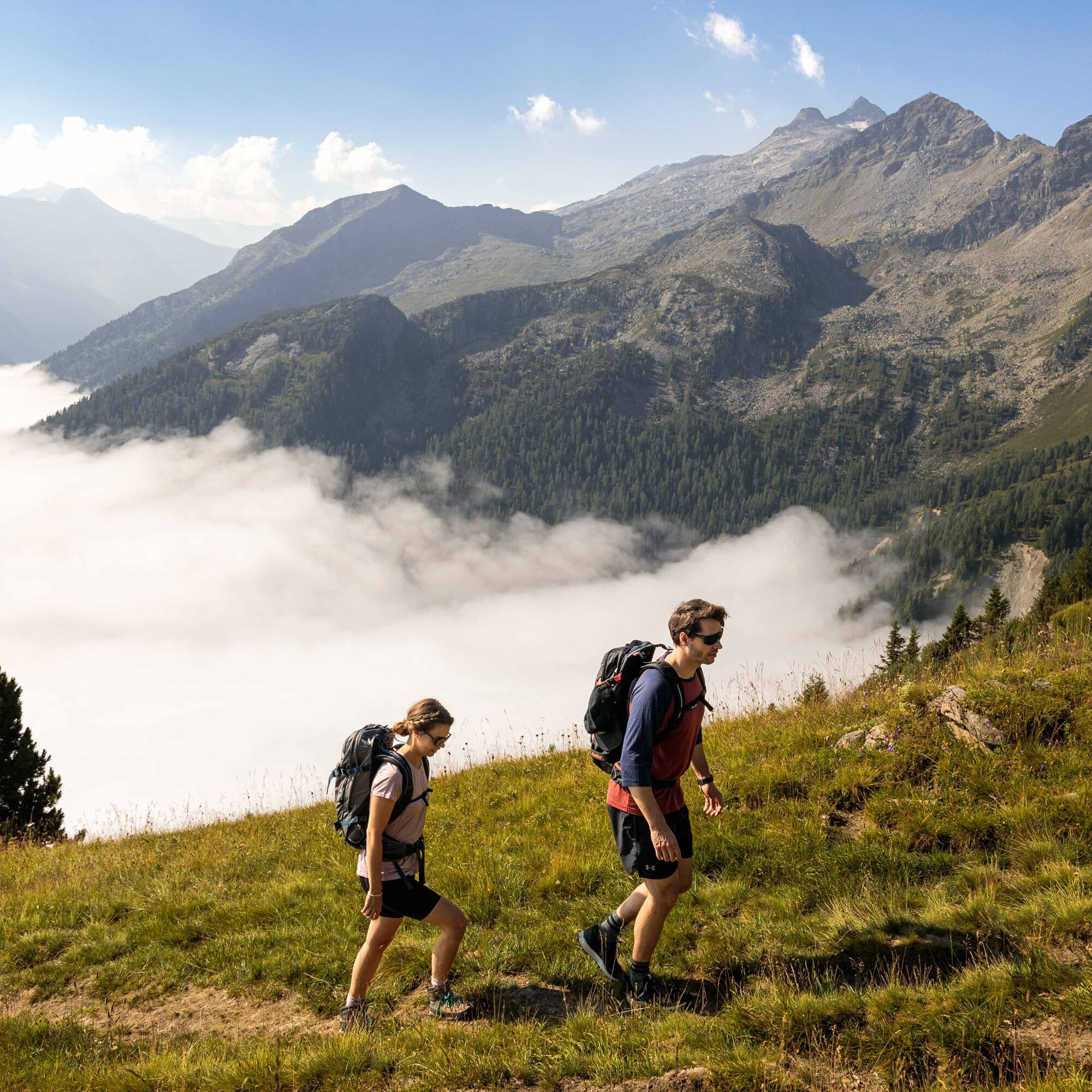
The family friendly tour starts at the car park of the Filzstein guesthouse. On hiking trail no. 13, you will climb up to the summit of the local Krimml mountain, the Plattenkogel (2.039m). At the summit cross, a unique view of the Pinzgau and Zillertal mountain landscape awaits you with its impressive glaciers. As you continue to walk in a westerly direction on trail no. 50 you will also enjoy a magnificent view of the romantic Wildgerlos valley and the Durlaßboden lake. After ample refreshments with some homemade specialities at the Gletscherblickalm you will hike over the Plattenalm back to the starting point.
- Highest point
- 2,030 m
- Endpoint
-
Hochkrimml Filzstein
- Height profile
-

- Equipment
-
Mountain shoes, hiking poles are recommended.
- Tips
-
On the summit of the Plattenkogel, you will find a telescope that provides you with close-up views of the surrounding mountains along with information about the height of each of the peaks.
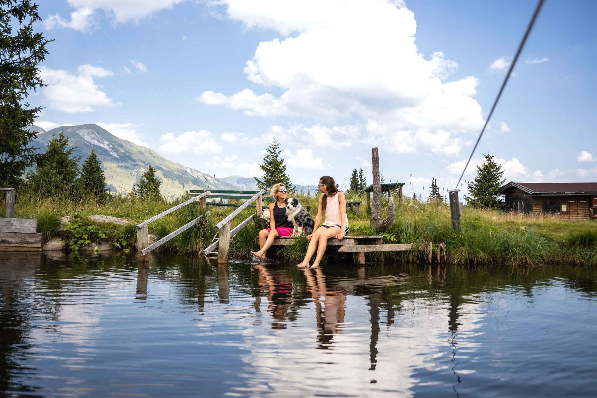
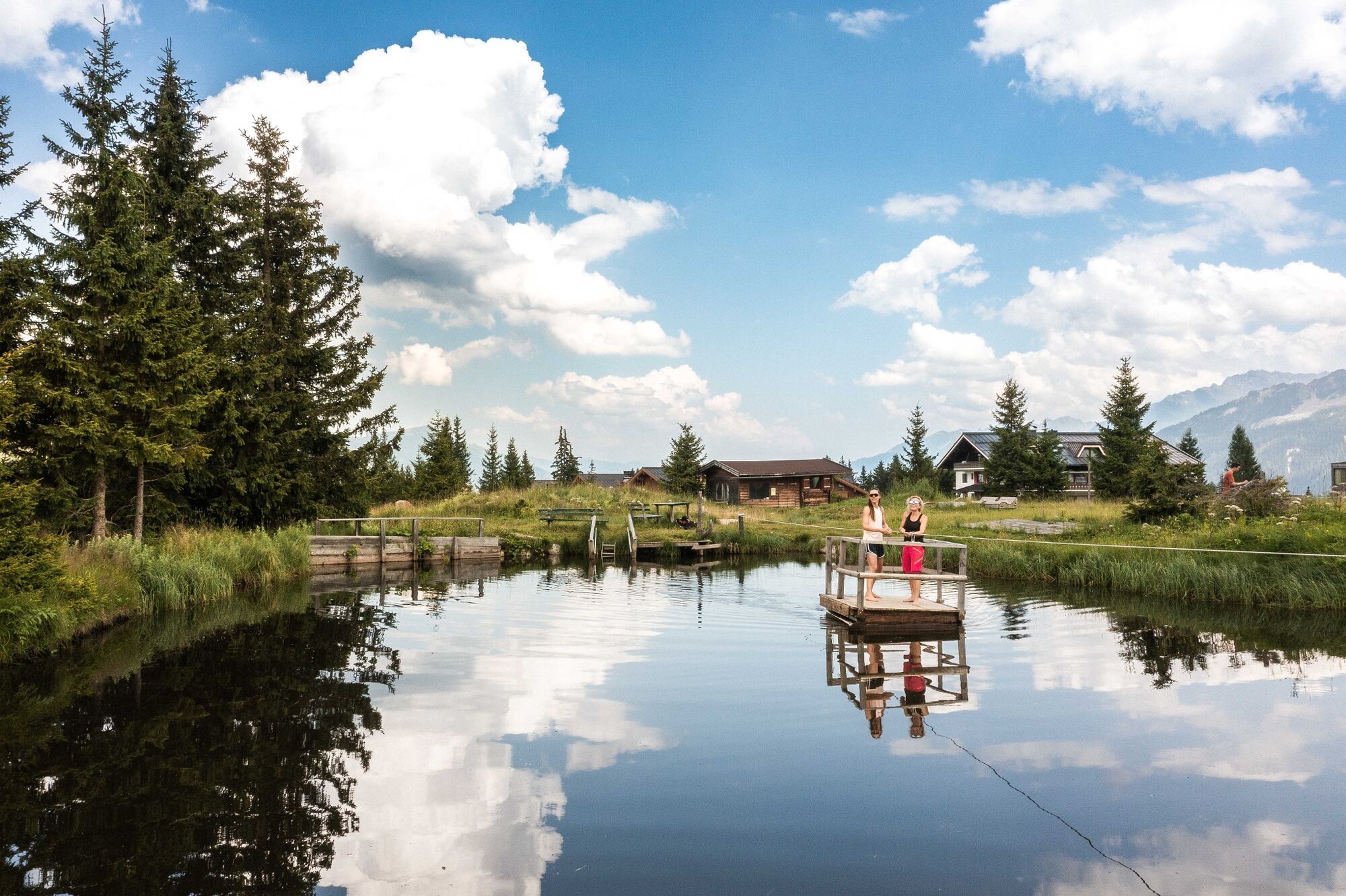
Between Filzstein and Silberleiten, the pathway is also suitable for prams.
- Directions
-
from Tyrol over the Hainzenberg, otherwise via Mittersill and the Gerlos Alpenstrasse
- Public transportation
-
Arrival only possible in your own car or by taxi.
- Parking
-
A free car park is provided


- Author
-
The tour Plattenkogel (full tour) is used by outdooractive.com provided.


General info
-
Zillertal Arena
1322
-
Krimml - Hochkrimml
325