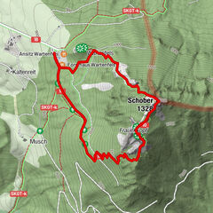
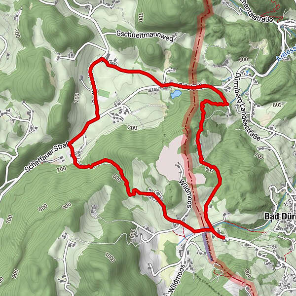
Rundwanderweg Bad Dürrnberg

Logo Rundwanderweg Bad Dürrnberg
Tour data
5.79km
645 - 853m
Distance
220hm
224hm
Ascent
01:22h
 
Duration
Brief description

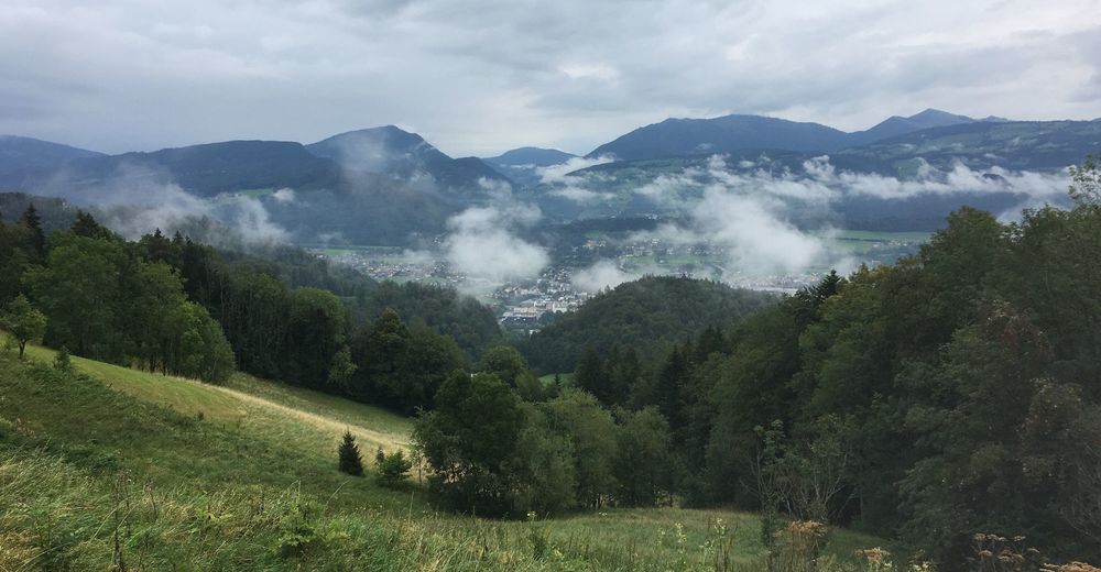
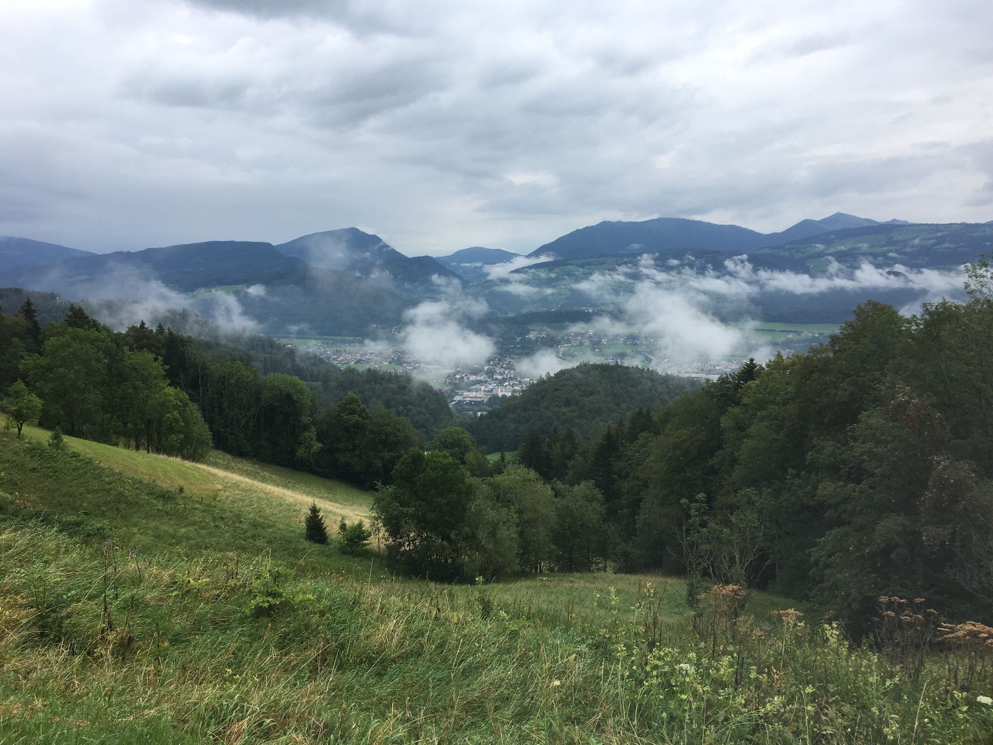
Schöne Kurzwanderung durch die Wälder und Berge bei Bad Dürrnberg

Difficulty
easy
Rating
Technique
Fitness
Landscape
Experience
Route
Hallein
1.8 km

Highest point
853 m

Overall rating

5

0

%

4

0

%

3

0

%

2

0

%

1

0

%

Error
An error has occurred. Please try again.
Thank you for your review

Rating has been deleted

GPS Downloads
  • GPX GPS Exchange Format (XML)
  • KML Google Earth, Google Maps
QR Download Codes for Mobile Phones
Other tours in the regions

Popular tours in the area

Von Fuschl auf den Ellmaustein

medium Hiking
7.26km | 307hm | 02:30h

Schober und Frauenkopf

medium Hiking
2.83km | 343hm | 02:30h

Nockstein

easy Hiking
3.35km | 160hm | 02:00h

From Kaltenhausen to the Großer Barmstein (10 points)

difficult Hiking
4.26km | 400hm | 02:00h