© Herr Reiter
Tour data
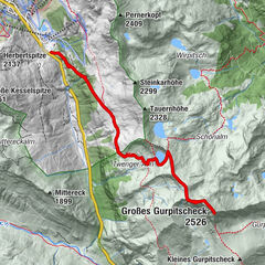
8.1km
1,428
- 2,325m
926hm
681hm
06:00h
- Rating
-
- Starting point
-
Parkplatz Göriacher Hüttendorf
- Route
-
Vordere Göriachalmen0.2 kmHansalhütte0.2 kmVordere Zugriegelalm1.9 kmHintere Zugriegelalm (verf.) (1,704 m)2.9 kmGollingwinkel7.0 kmObere Steinwenderalm7.1 kmGollinghütte (1,642 m)8.0 km
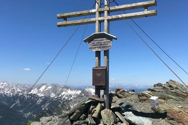
- Highest point
- 2,325 m
- Rest/Retreat
-
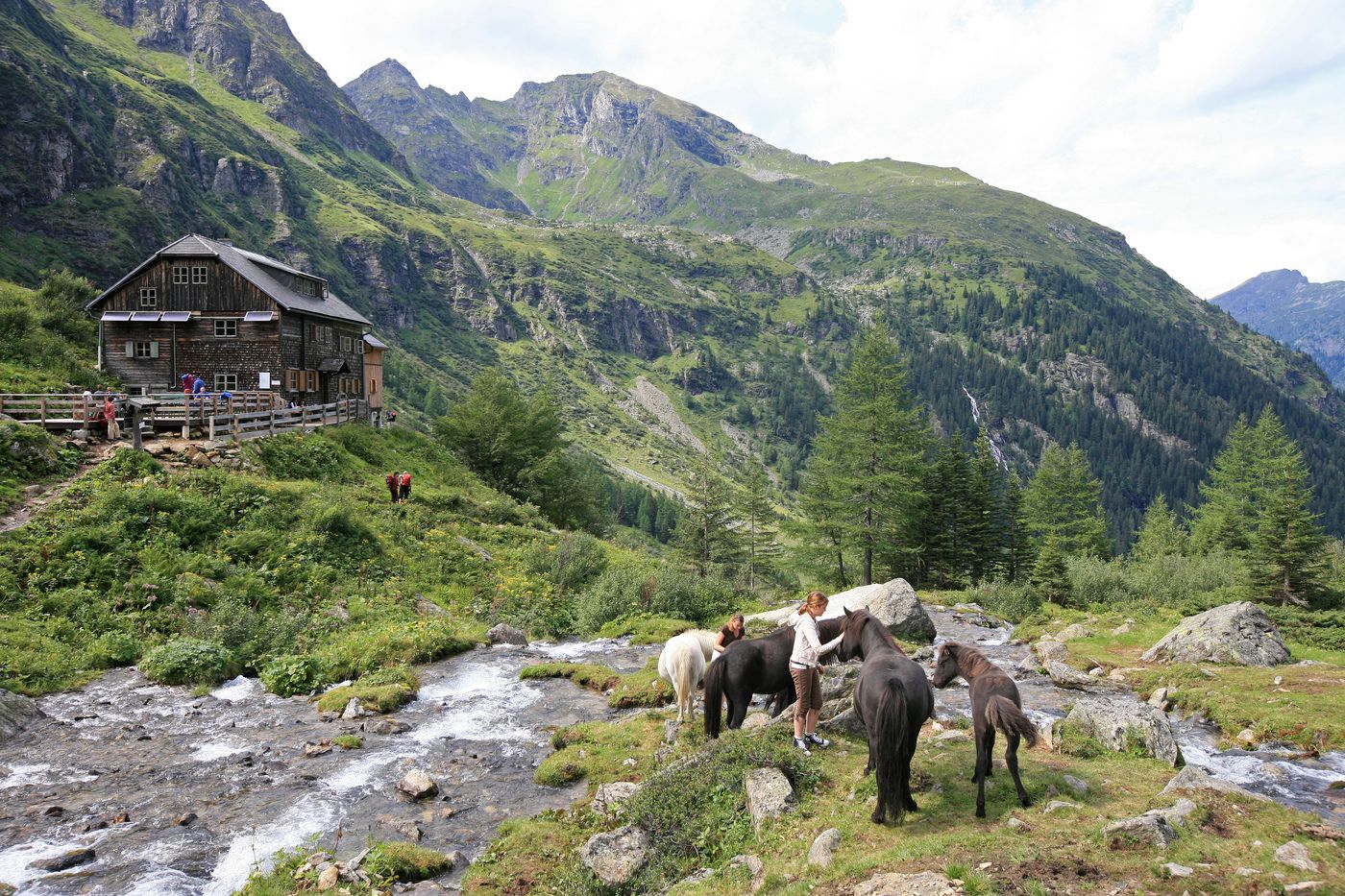
Gollinghütte
GPS Downloads


Trail conditions
Asphalt
Gravel
Meadow
Forest
Rock
Exposed
Other tours in the regions
-
Schladming - Dachstein
3000
-
Schladming - Rohrmoos
1478
-
Göriach
171