
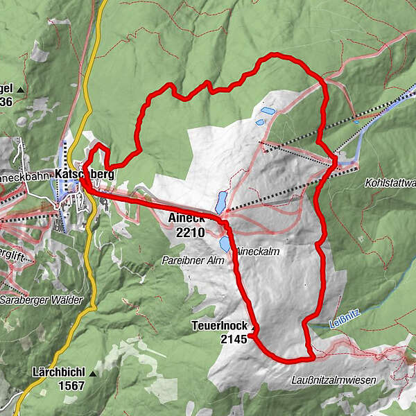
Tour data
14.13km
1,631
- 2,210m
633hm
644hm
03:31h
- Brief description
-
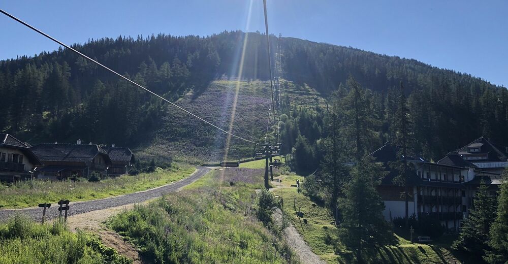
Ab Parkplatz Katschberghöhe
- Difficulty
-
medium
- Rating
-
- Route
-
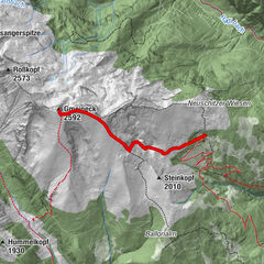
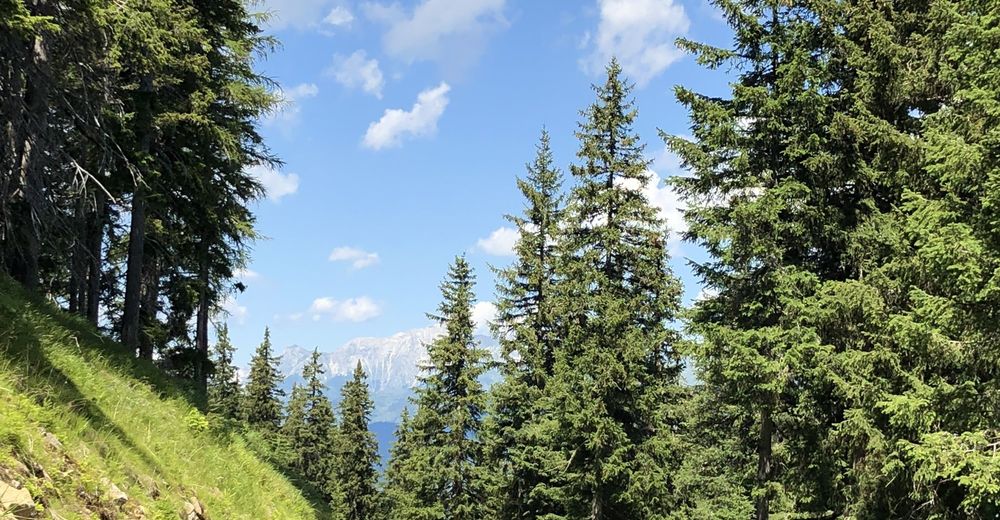
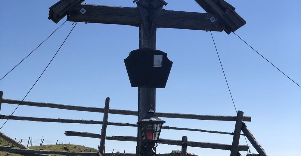
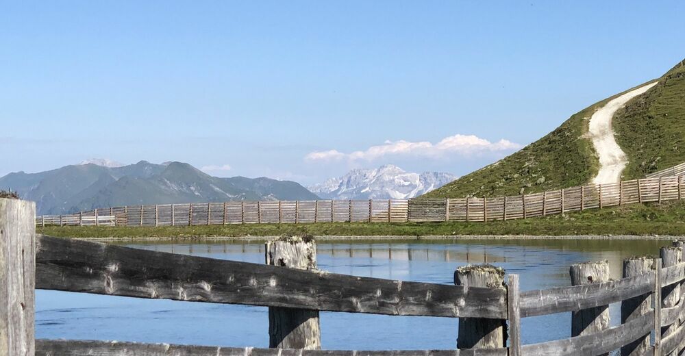
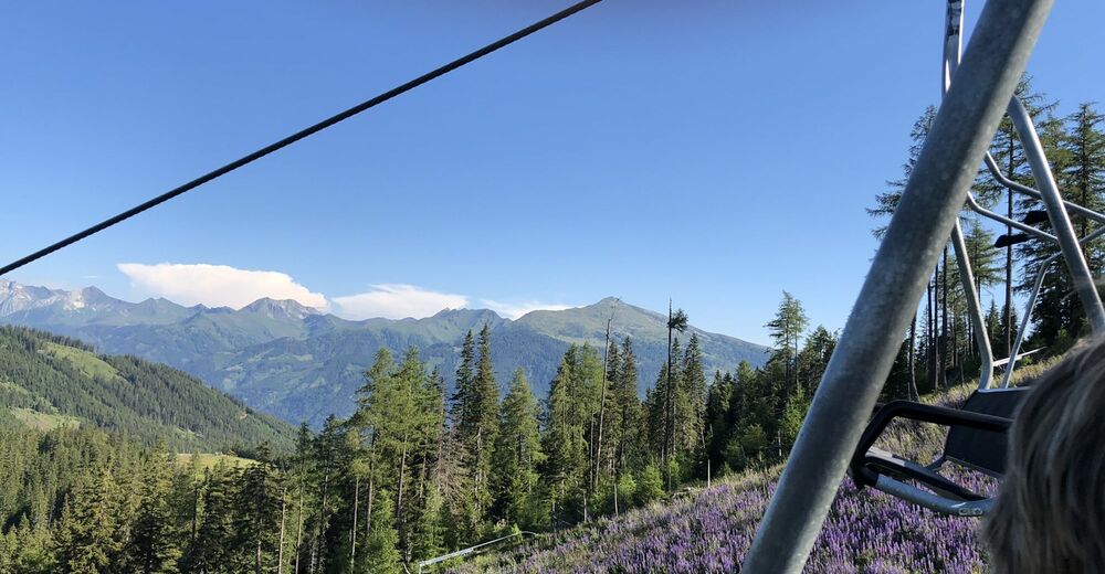
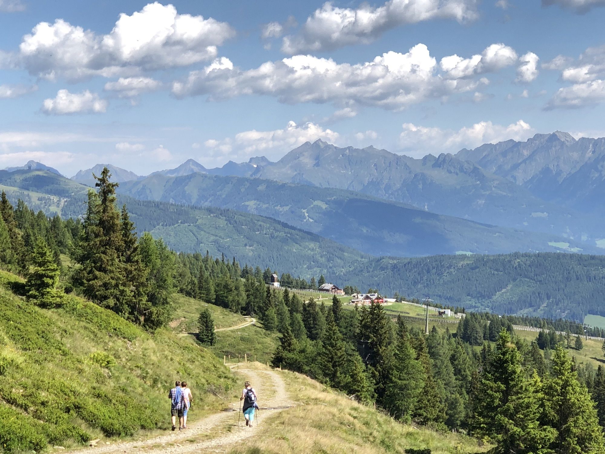
Katschberghöhe (1,641 m)0.0 kmKatschberg0.1 kmAineckbahn0.2 kmAdlerhorst1.7 kmAineck (2,210 m)1.7 kmAineckbahn (2,220 m)1.8 kmTeuerlnock (2,145 m)3.5 kmKößelbacher Alm7.4 kmBranntweineralm7.5 kmAineckbahn13.8 kmKatschberg14.0 kmKatschberghöhe (1,641 m)14.0 km
- Highest point
- 2,210 m


GPS Downloads


Other tours in the regions