Matthias Borgehynck
Tour data
2.83km
919
- 1,257m
343hm
317hm
02:30h
- Brief description
-
Anspruchsvolle Tour für Schwindelfreie.
- Difficulty
-
medium
- Rating
-
- Starting point
-
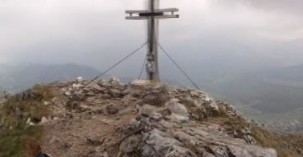
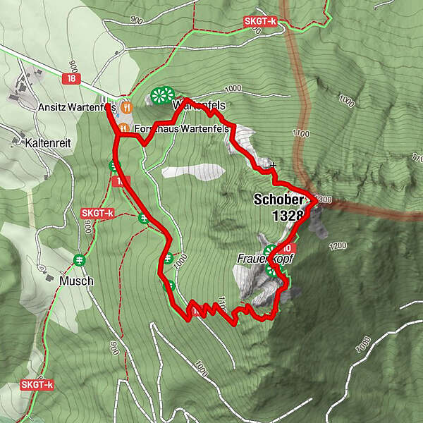
Wartenfelsruine
- Route
-
Forsthaus Wartenfels0.1 kmSchober (1,328 m)1.0 kmSchoberhütte1.0 kmFrauenkopf (1,304 m)1.2 km
- Best season
-
JanFebMarAprMayJunJulAugSepOctNovDec
- Highest point
- 1,257 m
- Rest/Retreat
-
Im Forsthaus

All ratings
Jasmin Bernberger
14. Apr. 2024
Sehr steile und anspruchsvolle Strecke ~ nichts für Anfänger
GPS Downloads


Trail conditions
Asphalt
Gravel
Meadow
Forest
Rock
Exposed
Other tours in the regions