© Mittersill Plus GmbH_Franz Goller - Christine Reichholf

© Mittersill Plus GmbH_Franz Goller - Christine Reichholf

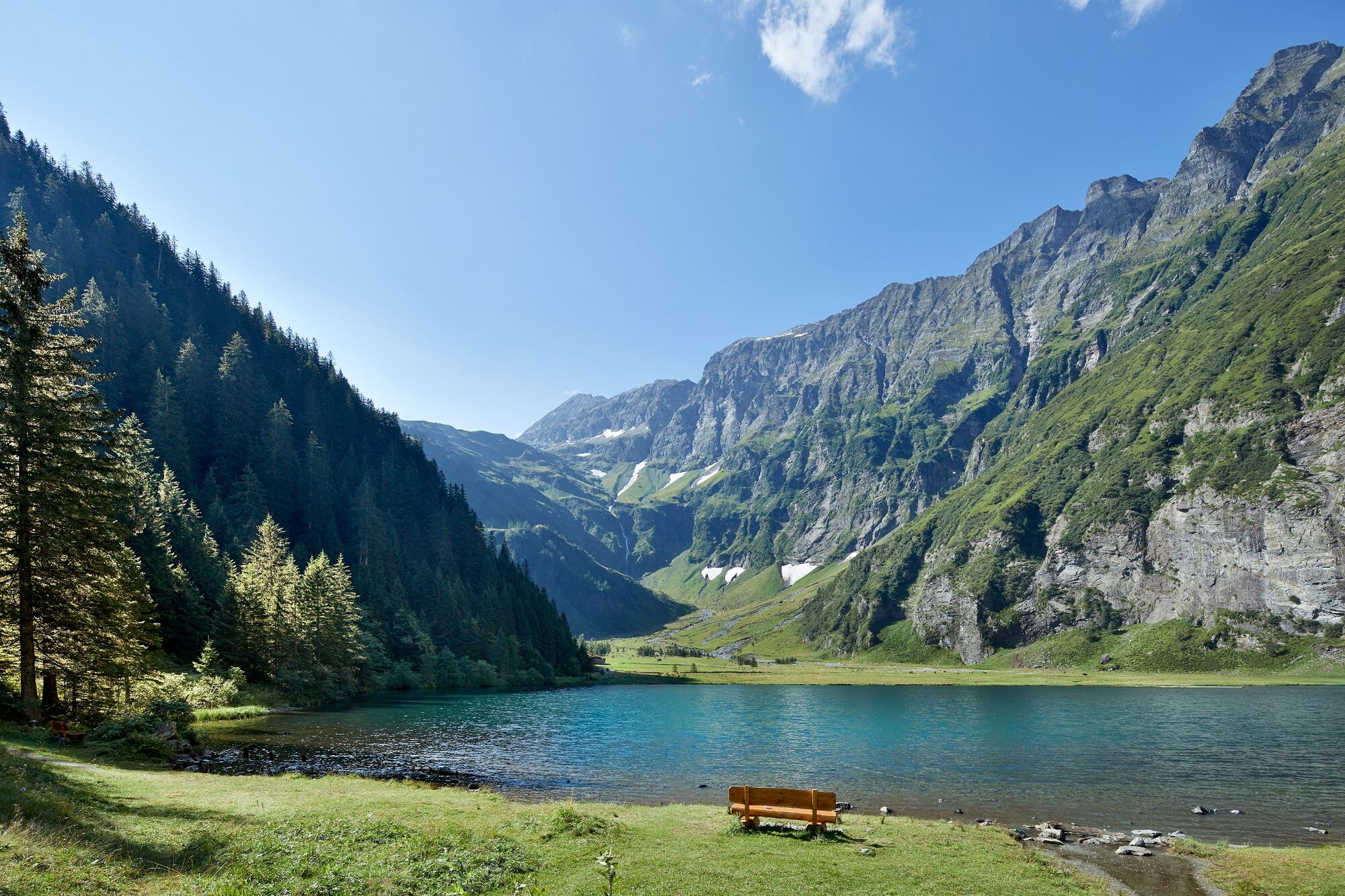
© Mittersill Plus Tourismus - Ferienregion Nationalpark Hohe Tauern GmbH

- Brief description
-
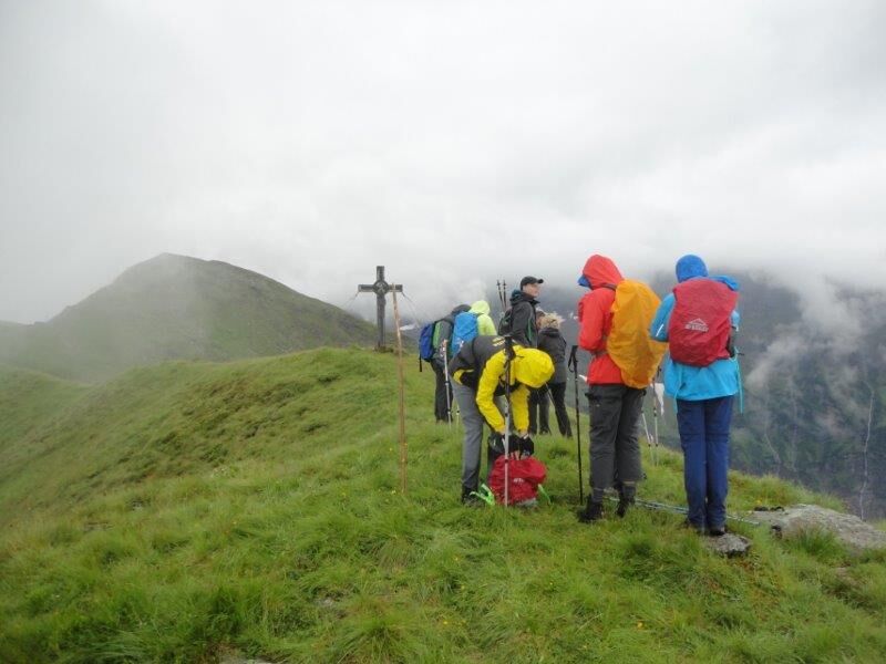
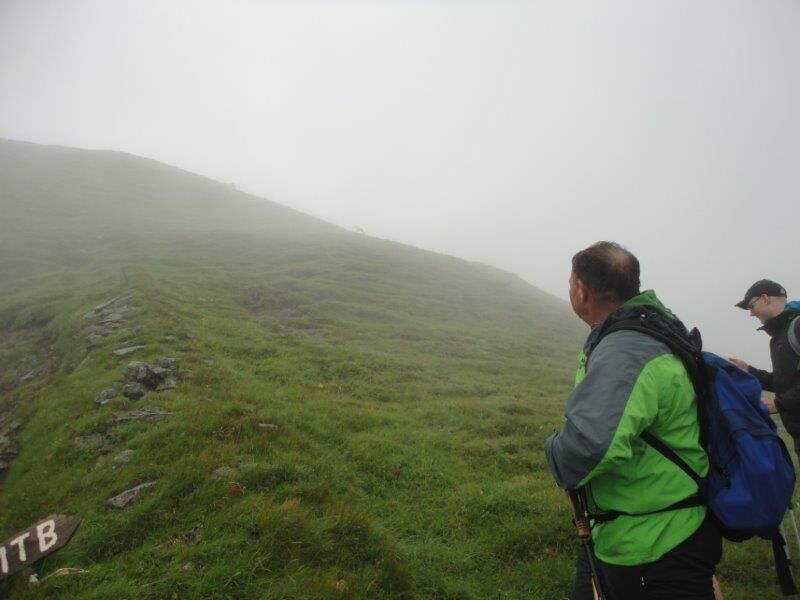
1 Berg - 2 Täler. Anspruchsvolle Bergtour mit knapp 1.000 Höhenmeter.
- Difficulty
-
medium
- Rating
-
- Route
-
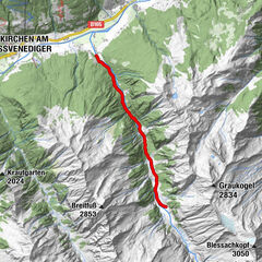
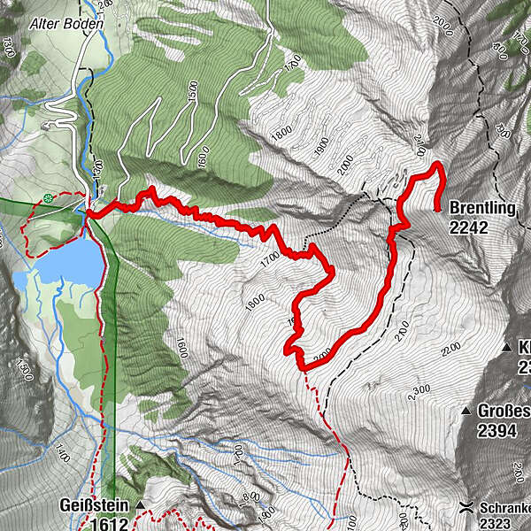
Brentling (2,242 m)4.4 km
- Best season
-
JanFebMarAprMayJunJulAugSepOctNovDec
- Highest point
- 2,230 m
- Endpoint
-
Parkplatz Hintersee im Felbertal
- Height profile
-


- Author
-
The tour Mittersill: Brentling Wegnr. 917 is used by outdooractive.com provided.
GPS Downloads


General info
Refreshment stop
Insider tip
A lot of view
Other tours in the regions