
Tour data
17.39km
774
- 1,952m
2,217hm
06:30h

- Brief description
-
Strecke: 17,5 km
Aufstieg:
1123 m
Abstieg:
1256 m
Dauer: 6:30 h
Niedrigster Punkt: 780 m
Dauer: 6:30 h - Rating
-
- Route
-
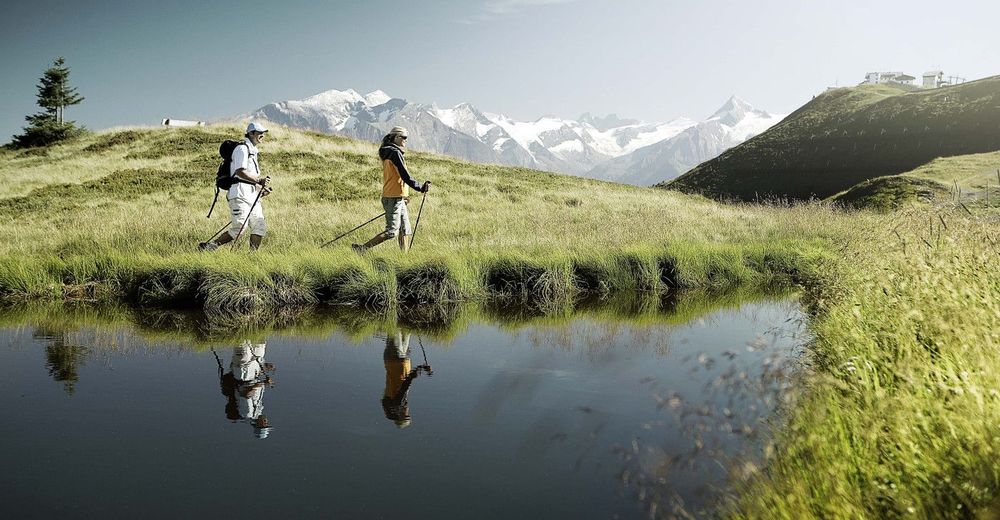
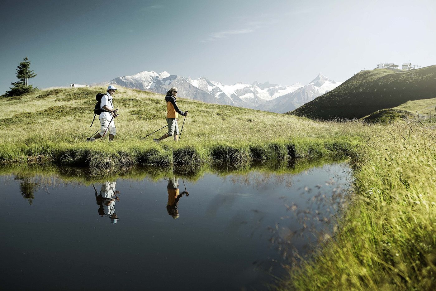
Schmitten0.1 kmBlaickner3.5 kmSonnkogel Alm6.6 kmHochzeller-Alm8.5 kmSchmittenhöhe (1,965 m)8.7 kmBerghotel Schmittenhöhe8.9 kmElisabeth-Kapelle9.0 kmInnenstadt17.2 kmZell am See (750 m)17.3 km
- Highest point
- 1,952 m
GPS Downloads


Trail conditions
Asphalt
Gravel
Meadow
Forest
Rock
Exposed
Other tours in the regions
-
Zell am See - Kaprun
1504
-
Schmittenhöhe
522


