

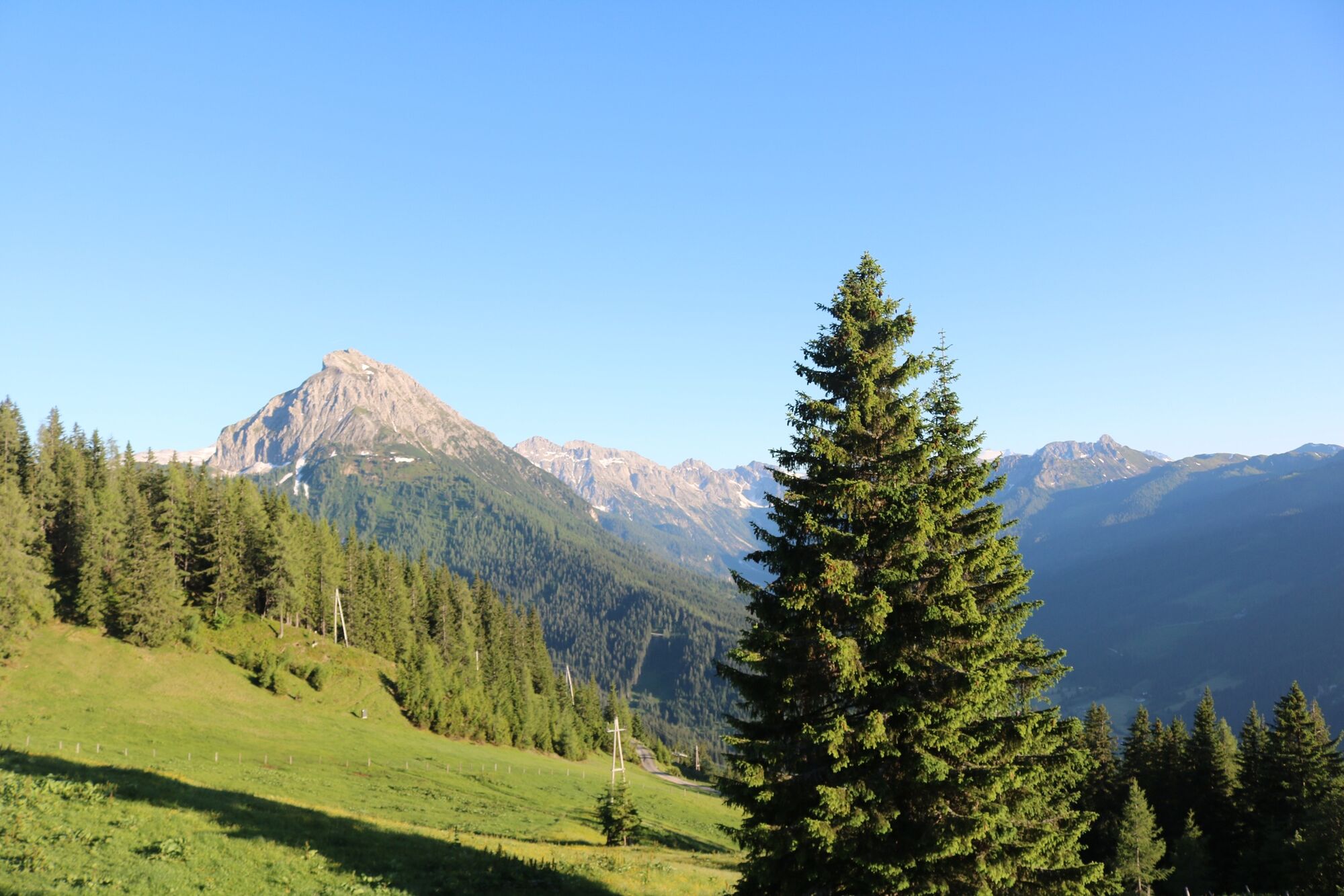
© Wagrain-Kleinarl Tourismus - Belina Huttegger
- Brief description
-
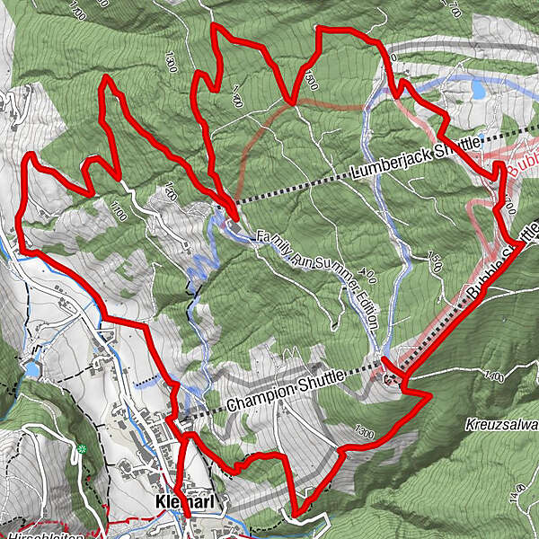
Circular hike from the center of Kleinarl to the Schüttalm.
- Difficulty
-
medium
- Rating
-
- Starting point
-
center Kleinarl
- Route
-
Kleinarl0.0 kmSchüttalm8.5 kmKleinarl12.4 km
- Best season
-
JanFebMarAprMayJunJulAugSepOctNovDec
- Description
-
Starting from the center in Kleinarl, continue to the valley station of Kleinarler Bergbahnen - Brandstattweg- Stuhlwaldstraße to the stamping point Baierwaldstraße, from there turn right over the Schüttaldmstraße to the Gasthof Schüttalm (open in summer), return via Gasthaus Galler (open in summer) number 85 and downhill via Waldweg to the Gasthaus Pröll ( Open in summer) and further down the valley, partly on the supply route No. 77 in the center of Kleinarl
- Highest point
- 1,725 m
- Endpoint
-
Kleinarl center
- Height profile
-

- Directions
-
Via Wagrain to Kleinarl.
- Public transportation
-
With the hiking bus to Kleinarl.
- Parking
-
center Kleinarl
-

-
AuthorThe tour Schüttalmweg is used by outdooractive.com provided.
GPS Downloads


General info
Refreshment stop
A lot of view
Other tours in the regions


