© Tourismusverband St. Johann in Salzburg - Tourismusverband St. Johann

- Brief description
-
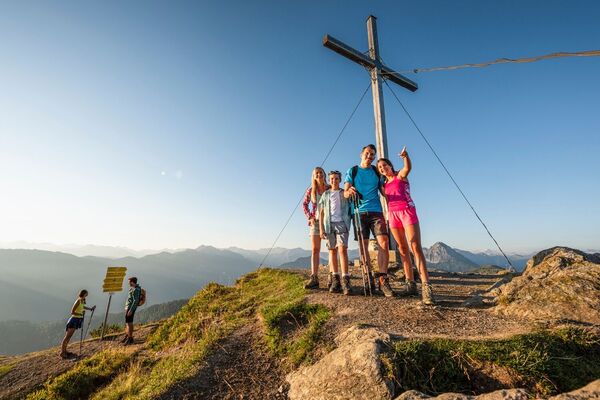
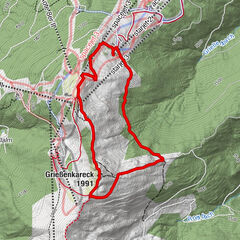
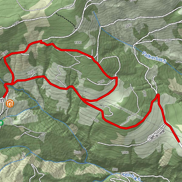
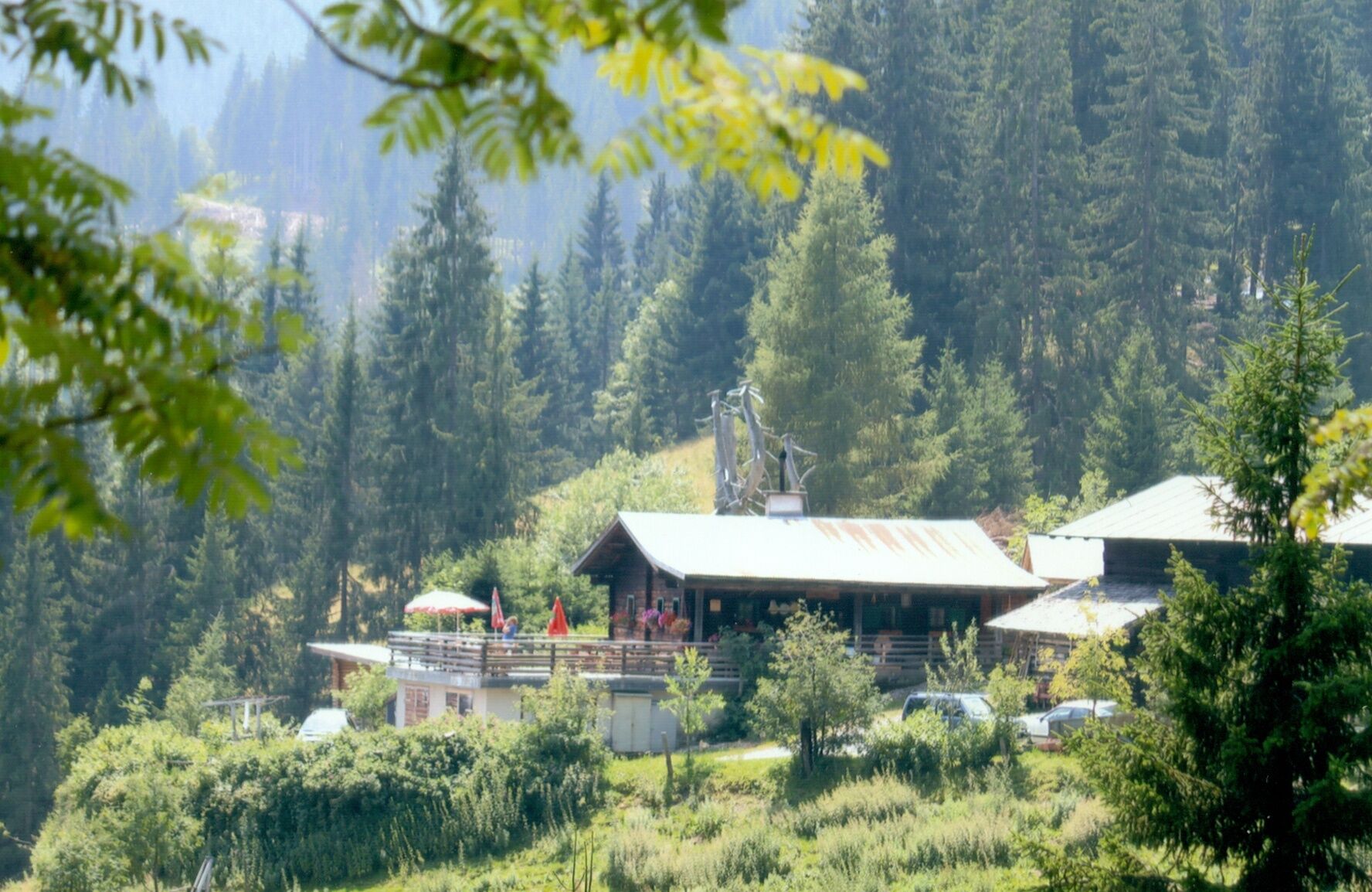
Circular route from the Arlberg car park to the Rettenebenalm and back again
- Difficulty
-
medium
- Rating
-
- Starting point
-
Katzlmoosweg/Parkplatz Arlberg, St. Johann
- Best season
-
JanFebMarAprMayJunJulAugSepOctNovDec
- Description
-
You start the hike at the Arlberg car park, where you can park your car free of charge. free of charge. Follow the path in the direction of the Rettenebenalm. After approx. 1 km, take the path to the right. Follow this path uphill downhill to the Rettenebenalm. Back you follow the direct path back to the starting point.
Parking Arlberg: max. 20 parking spaces, day parking only!
- Highest point
- 1,300 m
- Endpoint
-
Katzlmoosweg/Parkplatz Arlberg, St. Johann
- Height profile
-

- Parking
-
Parking Arlberg: max. 20 parking spaces, day parking only!
- Author
-
The tour Rettenebenalm circular trail is used by outdooractive.com provided.
GPS Downloads


General info
Refreshment stop
Other tours in the regions