- Brief description
-
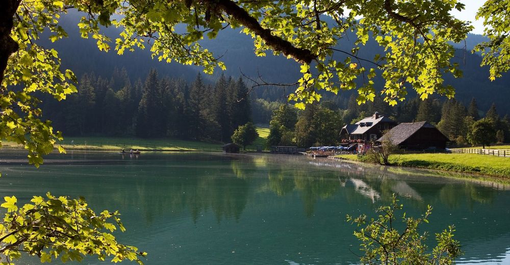
Hike through forest and meadow over the Hochstein to the idyllic Jägersee!
- Difficulty
-
medium
- Rating
-
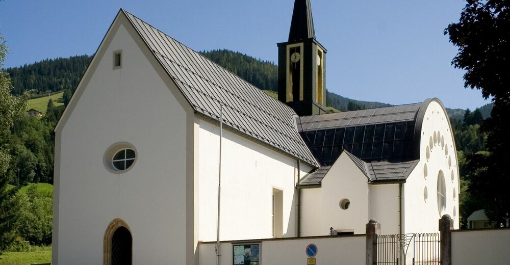
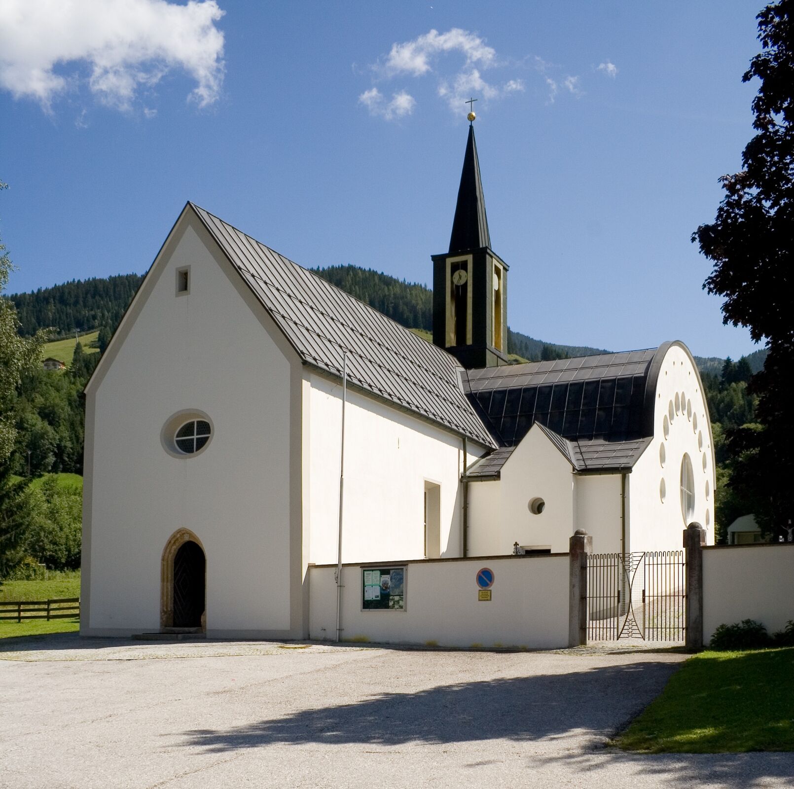
- Starting point
-
church of Kleinarl
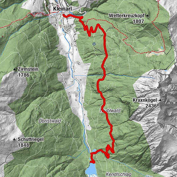
- Route
-
Pfarrkirche zum hl. LaurentiusKleinarlGasthaus zum Jägersee8.6 km
- Best season
-
JanFebMarAprMayJunJulAugSepOctNovDec
- Description
-
You start your tour in the center of Kleinarl. Starting from the church, walk along Kreuzsalgasse, across Stuhlweg and on to the Steineggweg junction. Just before the Ennskraxn snack bar, turn right. The road ends at the so-called Hochstein and a path leads across a meadow into a high forest to Täublwaldstraße. The descent towards Jägersee would be possible here. (Bus stop, and back with the hiking bus)
- Highest point
- 1,402 m
- Endpoint
-
Jägersee
- Height profile
-

- Equipment
-
sports shoes, drinking bottle
- Directions
-
Arrival by car on the A10 Tauern motorway - take the Flachau exit - at the second roundabout continue towards Wagrain-Kleinarl and follow the main road for about 8 km. At the intersection at Sport Obermoser in the center of Wagrain, turn left in direction Kleinarl and follow the main road for approx. 7 km to the center of Kleinarl. Your hike begins right at the church.
- Public transportation
-
public bus
- Parking
-
in the center of Kleinarl

-

-
AuthorThe tour Hochsteinweg is used by outdooractive.com provided.