

- Brief description
-
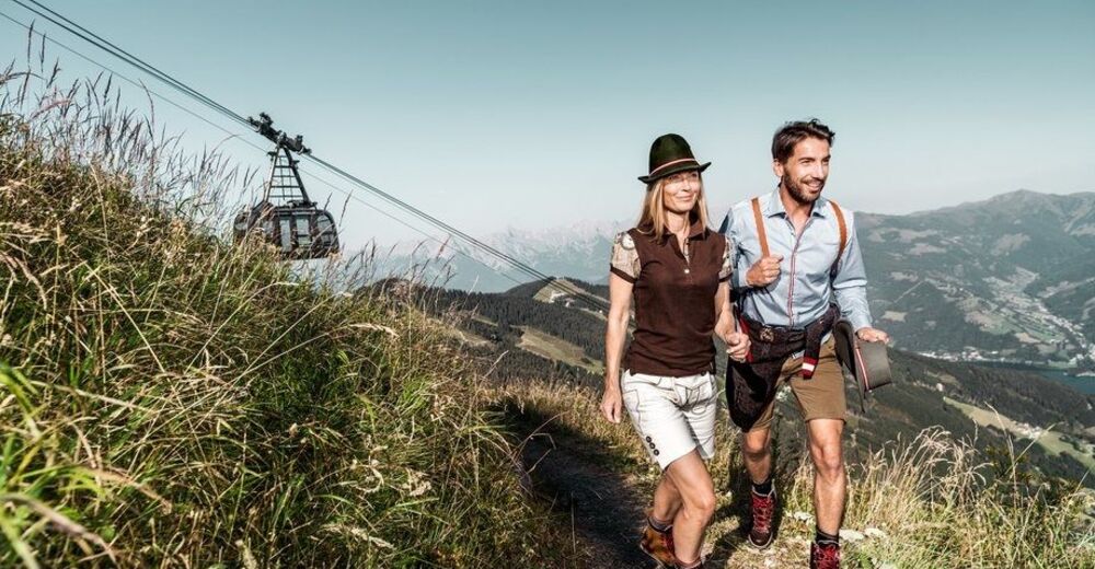
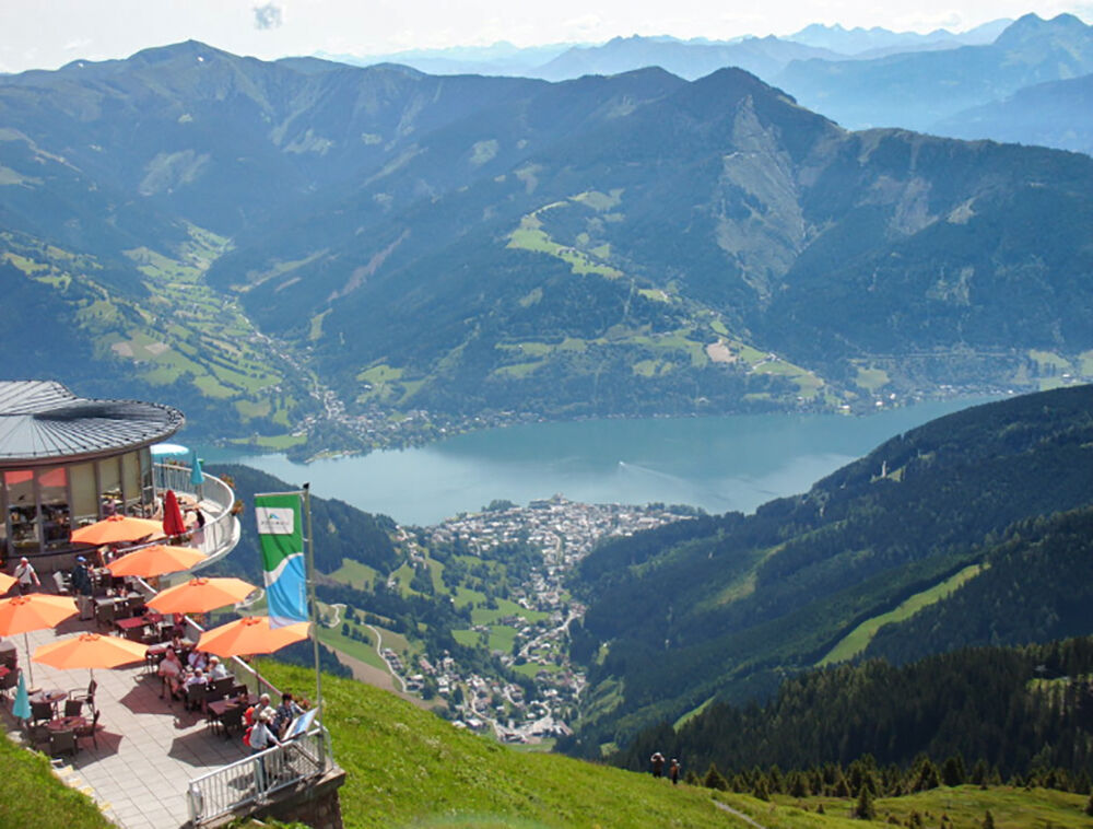
Let's go to the most beautiful panoramic mountain in Pinzgau! A unique 360° panorama with an impressive view of over 30 three-thousand-metre peaks awaits you!
- Difficulty
-
medium
- Rating
-
- Starting point
-
Hiking info point Piesendorf
- Route
-
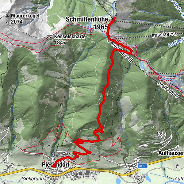
Gasthof Neuwirt0.0 kmIl Capriccio0.1 kmPiesendorf0.1 kmPfarrkirche St. Laurentius0.1 kmtrassXpress7.7 kmpanorama Restaurant am Berg7.8 kmElisabeth-Kapelle8.3 kmSchmittenhöhe (1,965 m)8.5 kmBerghotel Schmittenhöhe8.5 km
- Best season
-
JanFebMarAprMayJunJulAugSepOctNovDec
- Description
-
From the Schmitten you will enjoy a unique 360° panorama with an impressive view of over 30 three-thousand-metre peaks. Numerous culinary delights await you. If you want to save yourself the descent, take the Schmittenhöhe or the trassXpress cable car for a comfortable descent.
- Directions
-
From the hiking info point, follow the road to the church and turn right at the crossroads. Now hike along the hiking trail no. 9A over Wengerberg to Hochmaurach. Keep left here and continue alon trail no. 1A, along the forest road to the fork in the road. Turn right again and continue along the hiking trails 1C, 50 and 58 uphill to the Schmittenhöhe.
Descent options: return via the ascent route or take the Schmittenhöhebahn or trassXpress cable car to Zell am See and go back to Piesendorf by bus or train.
- Highest point
- 1,949 m
- Endpoint
-
Schmittenhöhe Zell am See
- Height profile
-

- Equipment
-
Ankle-high hiking boots, drinks & snacks, backpack, rain protection, mobile phone
- Safety instructions
-
Dear nature lovers!
We hope that the snacks and drinks you take with you on your hike will give you the strength to carry back the packaging material and empty cans and bottles.We kindly ask you to observe the Fair Play & Rules of Conduct!
Fairness and mutual consideration form the basis for a common together and the protection of the various interests in the natural region!
- Additional information
- Public transportation
- Parking
-
Sufficient parking available.
- Author
-
The tour Piesendorf: Schmittenhöhe is used by outdooractive.com provided.


General info
-
Zell am See - Kaprun
1504
-
Schmittenhöhe
522


