
- Brief description
-
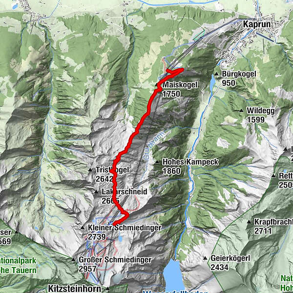
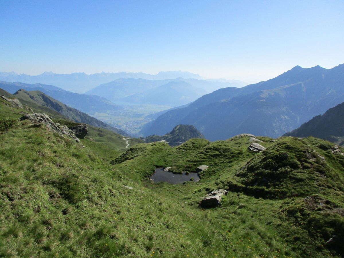
High alpine crossing from the Kitzsteinhorn to the Maiskogel with a variety of alpine flora!
- Difficulty
-
difficult
- Rating
-
- Starting point
-
Alpincenter Kitzsteinhorn
- Route
-
Krefelder Hütte0.6 kmDreiwallnerhöhe (1,861 m)6.4 kmMaiskogel (1,750 m)6.8 kmGlocknerblick7.3 km
- Best season
-
JanFebMarAprMayJunJulAugSepOctNovDec
- Description
-
Ride up to the Alpincenter with the Kitzsteinhorn cable cars. Thentake a hike along the Alexander Enzinger path to the Maiskogel. Descent with the new MK Maiskogelbahn to the centre of Kaprun possible.
- Directions
-
Ride up with the glacier lift to the Alpincenter at 2,452 m (the hike can start at the Häuslalm, next to the Langwied station, at 1,976 m) Start Alpincenter: Follow the yellow signs no 5 from the Alpincenter in the direction of the Krefelder hut and then further on over the Stangenhöhe at 2,212 m – Schoppachhöhe at 2,069 m.
From here go down to the Glocknerblick alpine guest house further on down to the village Kaprun
at path no. 25 or no. 33.
- Highest point
- 2,410 m
- Endpoint
-
Maiskogel
- Height profile
-

- Equipment
-
Good food wear, protection agains rain and sun! The weather can change quickly in the mountains!
- Safety instructions
-
At least one person in the group ought to have some experience of hiking tours in the mountains!
- Tips
-
in opposite direction: Ride up from Kaprun centre in comfortably gondolas towards Kitzsteinhorn.
Combination with the National Park Ranger "Explorer Tour".
In 32 design cabins and with a 360 ° panorama, you can comfortably gondola towards the Kitzsteinhorn.
- Additional information
- Public transportation
-
by bus 660 to cable car station Kitzsteinhorn
- Parking
-
free parking at the Schaufelberg car park in Kaprun (end of the tour) and continue by bus 660 to the cable cars Kitzsteinhorn


-

-
AuthorThe tour Alexander Enzinger Trail is used by outdooractive.com provided.