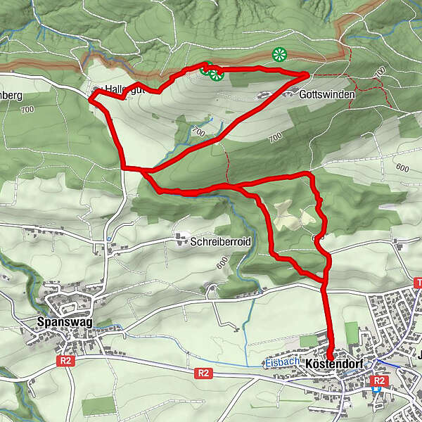
Tour data
7.69km
556
- 791m
235hm
228hm
01:50h
- Brief description
-
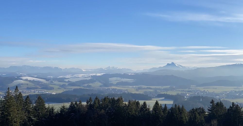
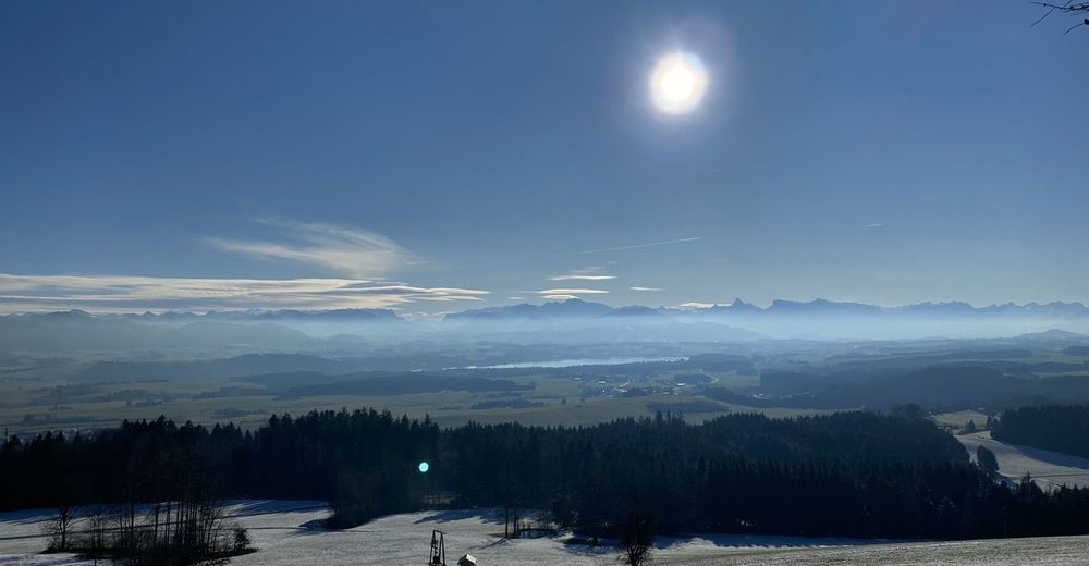
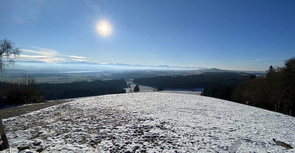
Von Köstendorf auf den Tannberg und zurück
- Difficulty
-
easy
- Rating
-
- Route
-
KöstendorfGottswinden2.8 kmTannberg (787 m)3.6 kmGasthaus Tannberg3.7 kmHallerbauer4.6 kmKöstendorf7.6 km
- Best season
-
JanFebMarAprMayJunJulAugSepOctNovDec
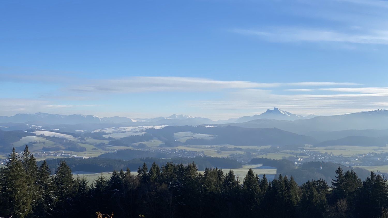
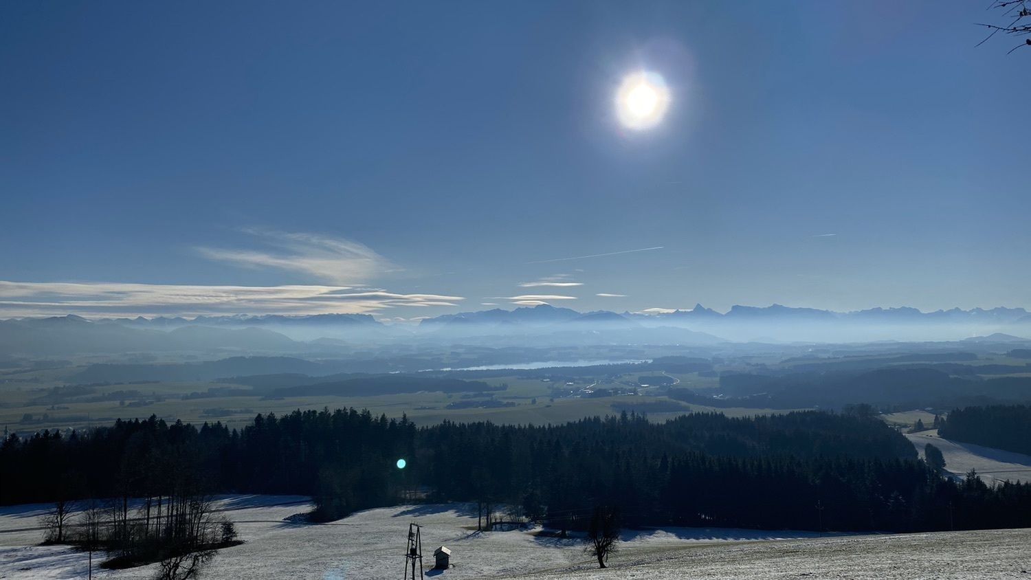
- Highest point
- 791 m

GPS Downloads


Trail conditions
Asphalt
Gravel
Meadow
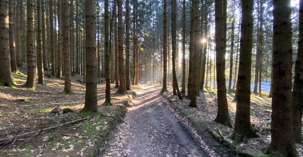
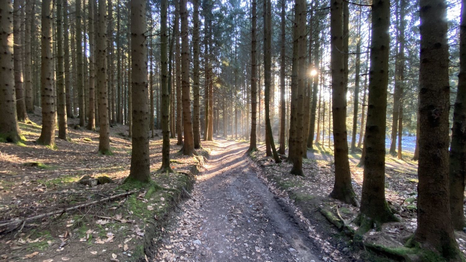
Forest
Rock
Exposed
Other tours in the regions
-
Innviertel
797
-
Salzburger Seenland
1045
-
Köstendorf bei Salzburg
154