


- Brief description
-
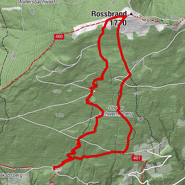
Bürgerbergalm - Rossbrand (Radstädter Hütte) - Grubbauer - Bürgerbergalm
- Difficulty
-
medium
- Rating
-
- Starting point
-
Bürgerbergalm
- Route
-
Bürgerbergalm0.1 kmQuelle2.4 kmRadstädterhütte3.4 kmRossbrand (1,770 m)3.5 kmBürgerbergalm6.7 km
- Best season
-
JanFebMarAprMayJunJulAugSepOctNovDec
- Description
-
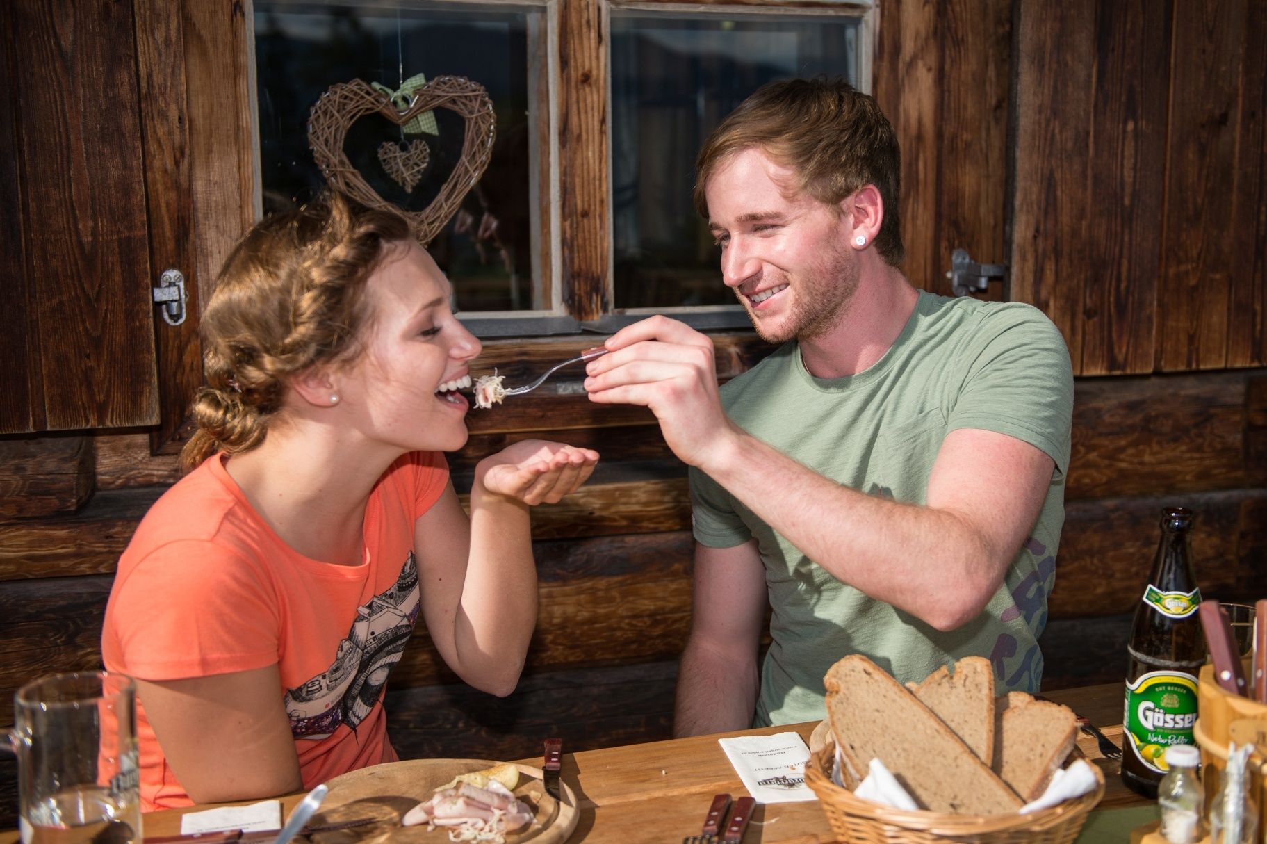
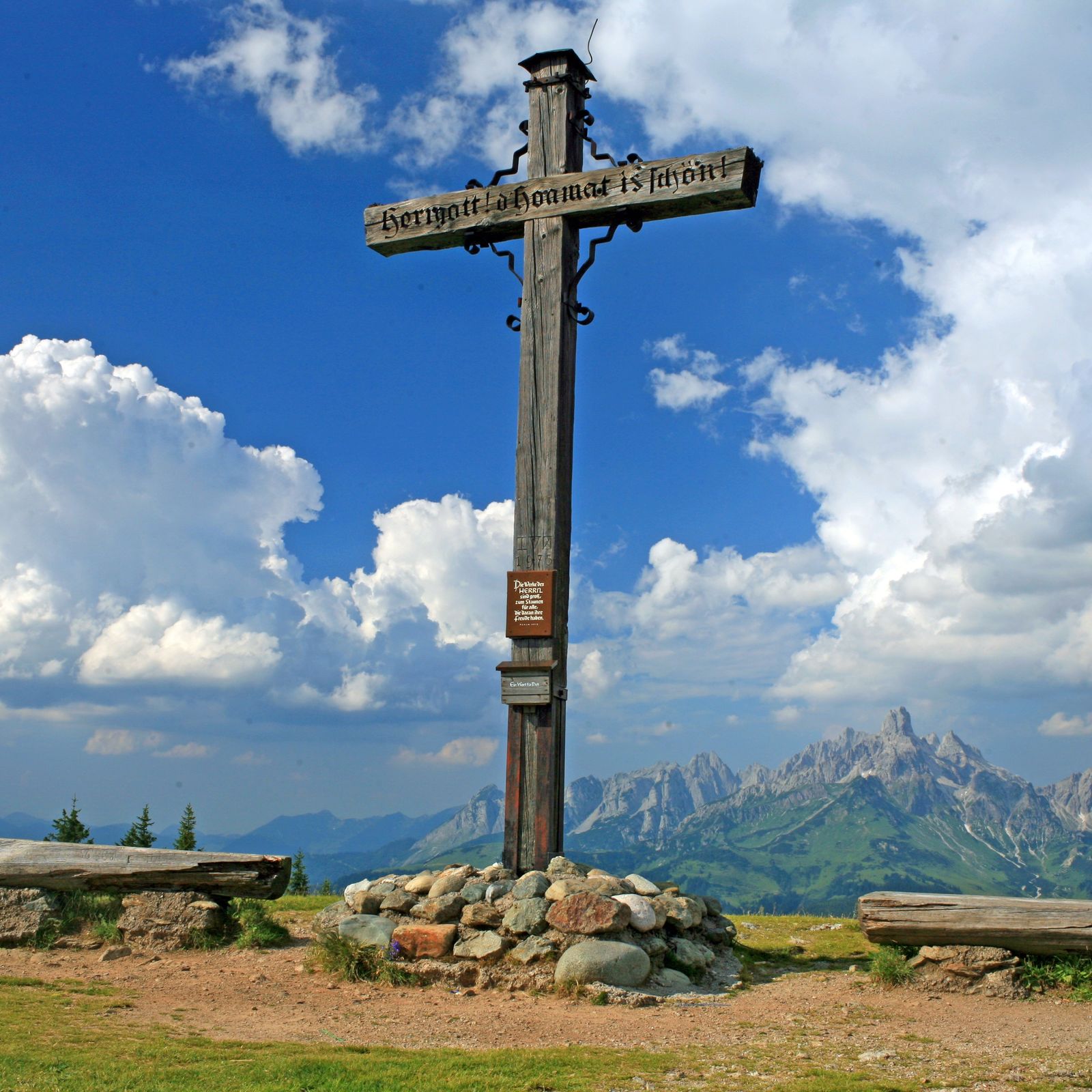
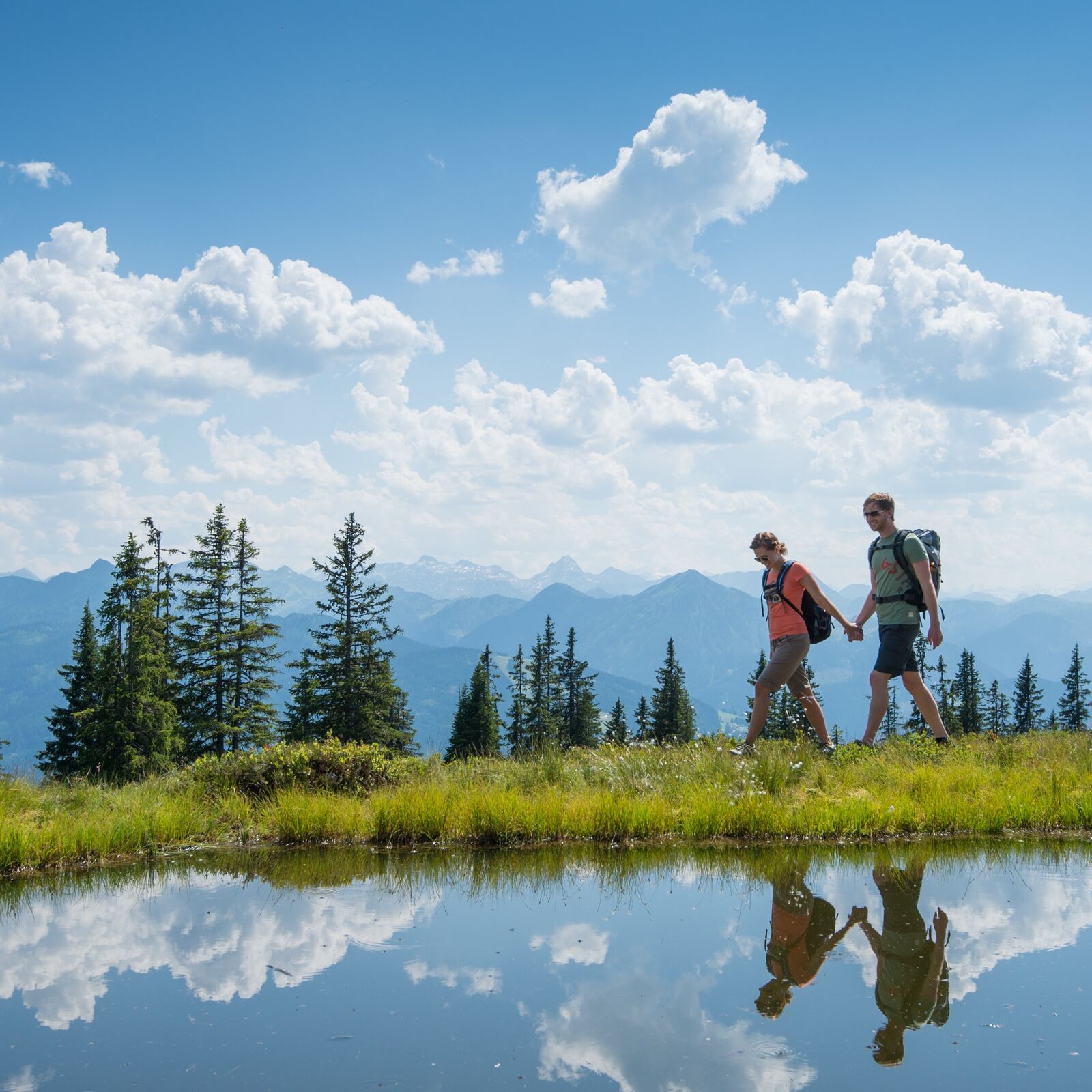
You start your hike at the Bürgerbergalm. From there you take path no. 462 up to the Rossbrand. Above you will find a wonderful 360 ° panorama of 150 alpine peaks. At the Radstädter Hütte you have the opportunity to strengthen yourself properly for the descent. You start the descent via path no.461. Follow this path to the Grubbauer junction. There you go back towards the Bürgerbergalm and get back to your starting point.
You start your hike at the Bürgerbergalm. From there you take path no. 462 up to the Rossbrand. At the peak you will find a beautiful 360 ° panoramic view of 150 alpine peaks. At the Radstädter Hütte you have the opportunity to brace yourself properly for the descent. You start the descent via path no. 461. Follow this path to the Grubbauer junction. From there you go back to the Bürgerbergalm and return to your starting point.
- Highest point
- 1,749 m
- Endpoint
-
Bürgerbergalm
- Height profile
-

- Equipment
-
In our hiking test center in Radstadt you can rent and test hiking shoes, hiking poles, backpacks and child carriers. With tour guest card, the first day is free.
- Directions
-
Coming from Salzburg you see the post office on the right side, turn left straight ahead till you reach the Schloßstraße. Then turn left to the Bürgerbergstraße. Follow this street up to the Bürgerbergalm
- Parking
-
directly at the Bürgerbergalm (limited parking possibilities)
-

-
AuthorThe tour Rossbrand round tour from Bürgerberalm is used by outdooractive.com provided.


General info
-
Schladming - Dachstein
3000
-
Salzburger Sportwelt
2193
-
Radstadt
597


