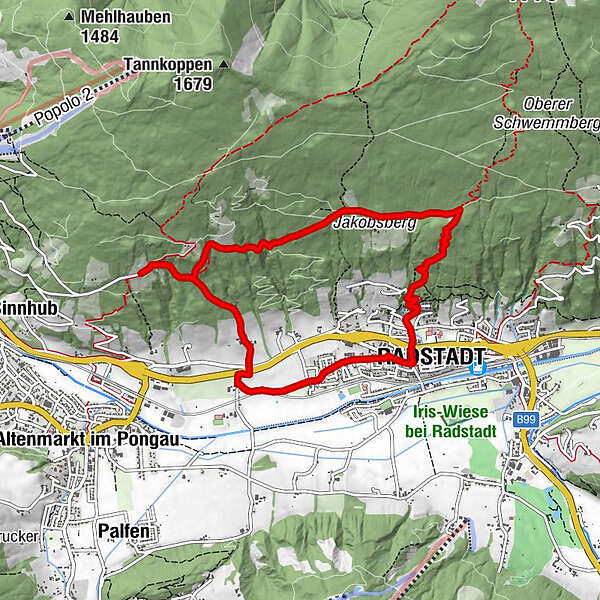
Roundtrip Radstadt - Habersatt - Bürgerbergalm - Radstadt (63, 64, 461)

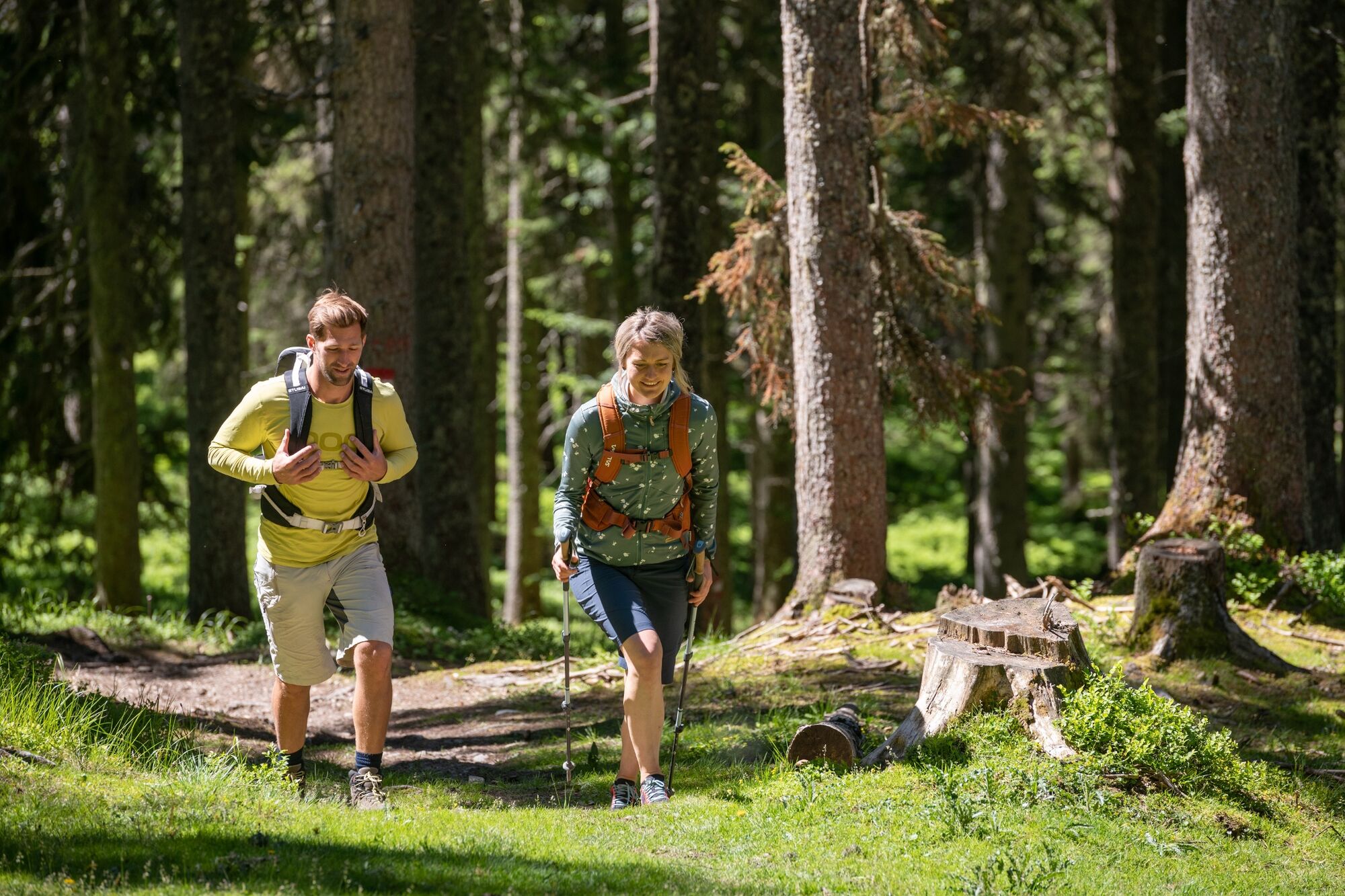
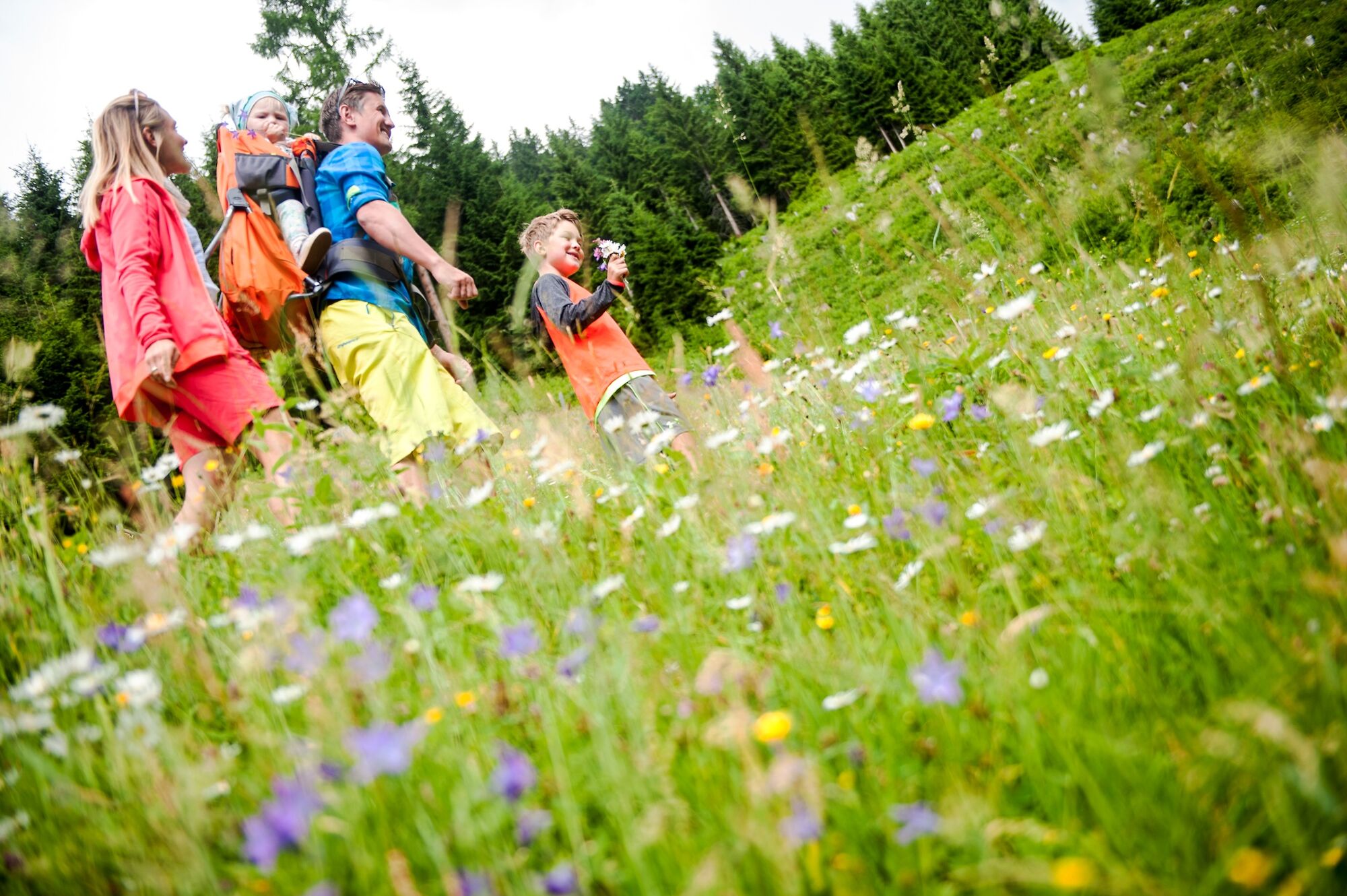
Hiking

© Tourismusverband Radstadt/Lorenz Masser - Lorenz Masser

© Tourismusverband Radstadt/Hans Huber - Hans Huber

© Bürgerbergalm/Thomas Stiegler - Thomas Stiegler

- Brief description
-
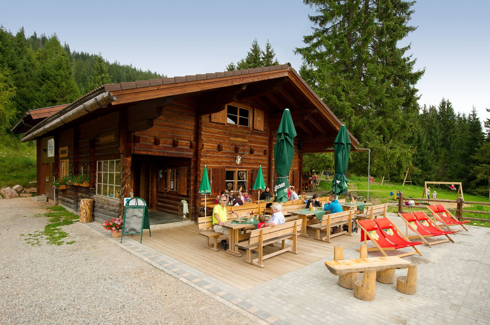
A leisurely roundtrip via Habersatt Jausenstation to the Bürgerbergalm and back to Radstadt.
- Difficulty
-
medium
- Rating
-
- Starting point
-
Radstadt post office
- Route
-
Radstadt (858 m)Evangelische Kirche Radstadt0.5 kmForellencamp1.0 kmBürgerbergalm6.6 kmRadstadt (858 m)8.7 km
- Best season
-
JanFebMarAprMayJunJulAugSepOctNovDec
- Directions
-
You start the hike at the post office in Radstadt. From there you take path no. 63 until you reach the Habersatt Jausenstation. Subsequently you reach the Bürgerberalm via path no. 64. From there you walk back to Radstadt via path No. 462.
It is an easy hike that is also suitable for children. A great, large children's playground awaits them at the Bürgerbergalm as a reward.
- Highest point
- 1,189 m
- Endpoint
-
Radstadt post office
- Height profile
-

- Equipment
-
In our hiking test center in Radstadt you can rent and test hiking shoes, hiking sticks, backpacks and child carriers. With the guest card, the first day is free.
- Parking
-
Parking at the parking lots P1 (at the Stadtteich) or P2 (Gardeparkplatz).
-

-
AuthorThe tour Roundtrip Radstadt - Habersatt - Bürgerbergalm - Radstadt (63, 64, 461) is used by outdooractive.com provided.
GPS Downloads


General info
Refreshment stop
Other tours in the regions
-
Schladming - Dachstein
3001
-
Salzburger Sportwelt
2210
-
Radstadt
597


