
- Difficulty
-
difficult
- Rating
-
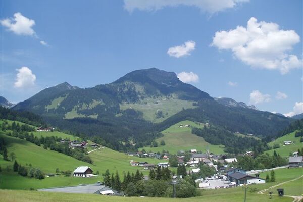
- Starting point
-
Rettensteinhütte
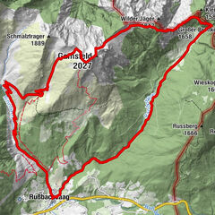
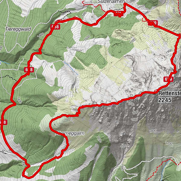
- Route
-
Rettensteinhütte0.0 kmRettenstein (2,245 m)3.2 kmSulzenhals (1,824 m)4.4 kmSulzenalmen5.6 kmKrahlehenhütte5.8 kmRettensteinhütte9.6 km
- Best season
-
JanFebMarAprMayJunJulAugSepOctNovDec
- Description
-
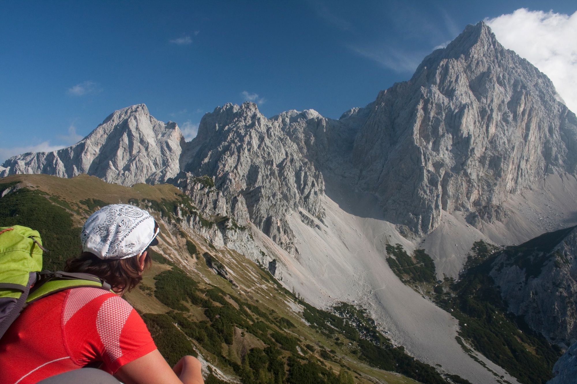
As you climb over the West Ridge and the summit you have a wonderful view of the Bischofsmütze mountain, Dachstein-Südwand, Niedere and Hohe Tauern, Hochkönig and Tennengebirge.
Starting point of the tour is the Rettensteinhütte (1,310 m - not farmed). First on the road no. 670 direction north-east, then slightly left to the Ahorneggalm (not farmed) and further on the western runner of the Rötelstein. The path follows the ridge to the main summit of the Röstelstein (2,247 m). The descent is via the Sulzenhals. First on path no. 639 on the cover from the summit into the Sulzenhals-Sattel down (rather steep). From there on route 638 to Wallehenhütte (1.608 m) on the Sulzenalm. From the Sulzenalm follow the sign "Filzmoos" and at the end follow the forest road to the Rettensteinhütte. The suggested round is only suitable for practiced mountaineers! Characteristic of the red stone is the reddish coloring of its rock. The mountain is not only a beautiful sight - even more impressive is the view it offers! - Highest point
- 2,212 m
- Endpoint
-
Rettensteinhütte
- Height profile
-

- Safety instructions
-
The suggested round is only suitable for practiced mountaineers! Characteristic of the red stone is the reddish coloring of its rock. The mountain is not only a beautiful sight - even more impressive is the view it offers!
ATTENTION: falling rocks along the route!

- Author
-
The tour Overdose of Rötelstein is used by outdooractive.com provided.


General info
-
Schladming - Dachstein
3000
-
Ramsau am Dachstein
1688
-
Filzmoos
628