

© Zell am See-Kaprun Tourismus GmbH - Birgit Arnold

© Zell am See-Kaprun Tourismus GmbH - Birgit Arnold

- Brief description
-
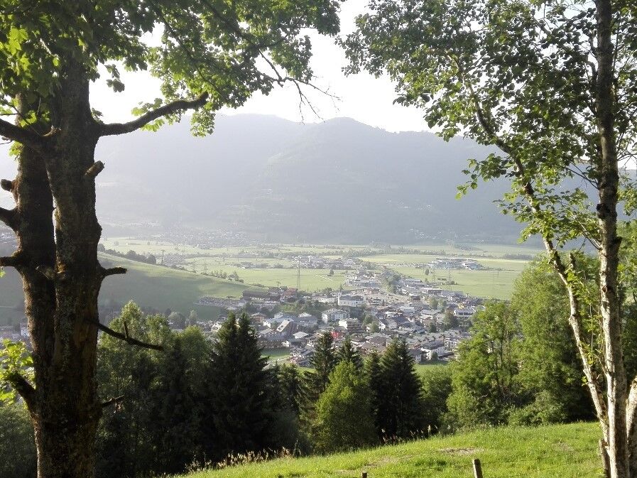
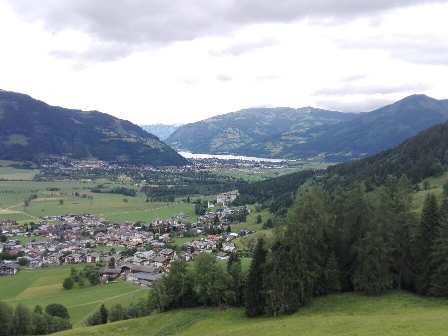
Through beautiful mixed forest with a view of Kaprun, the castle and Lake Zell.
- Difficulty
-
easy
- Rating
-
- Starting point
-
Kaprun Center
- Route
-
KaprunLechnerdörfl0.4 km
- Best season
-
JanFebMarAprMayJunJulAugSepOctNovDec
- Description
-
It goes uphill along a forest road through a beautiful mixed forest. In between, benches invite you to enjoy the view. You can also choose the Imbachsteig back.
- Directions
-
From the village centre in direction of Lechnerberg Trail along the Imbach stream on the right-hand side uphill. Above the mountain station of the Lechnerberg 1 and 2 lifts through the high forest, further uphill to the Eisengatter and from here to the Imbach Climb 723.
- Highest point
- 1,543 m
- Endpoint
-
to the Imbachsteig 723
- Height profile
-

- Tips
-
Take food with you as there is no serviced hut!
-

-
AuthorThe tour Forest road to the Weisssteinalm is used by outdooractive.com provided.
GPS Downloads


General info
A lot of view
Other tours in the regions


