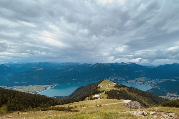
© Fuschlseeregion - Wolfgang Kinz
© Fuschlseeregion - Wolfgang Kinz
© Fuschlseeregion - Wolfgang Kinz

- Brief description
-
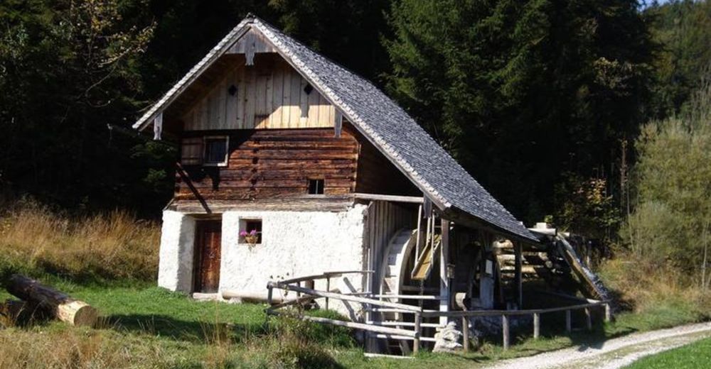
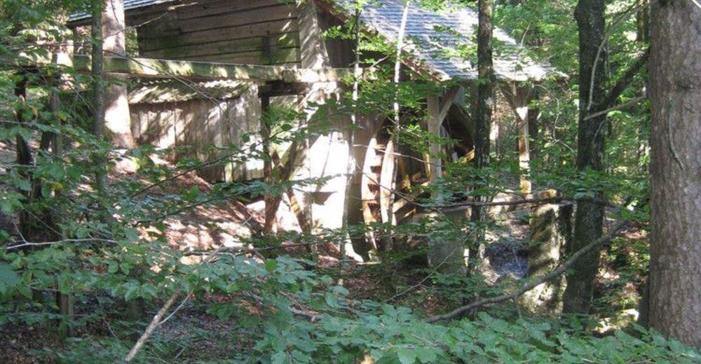
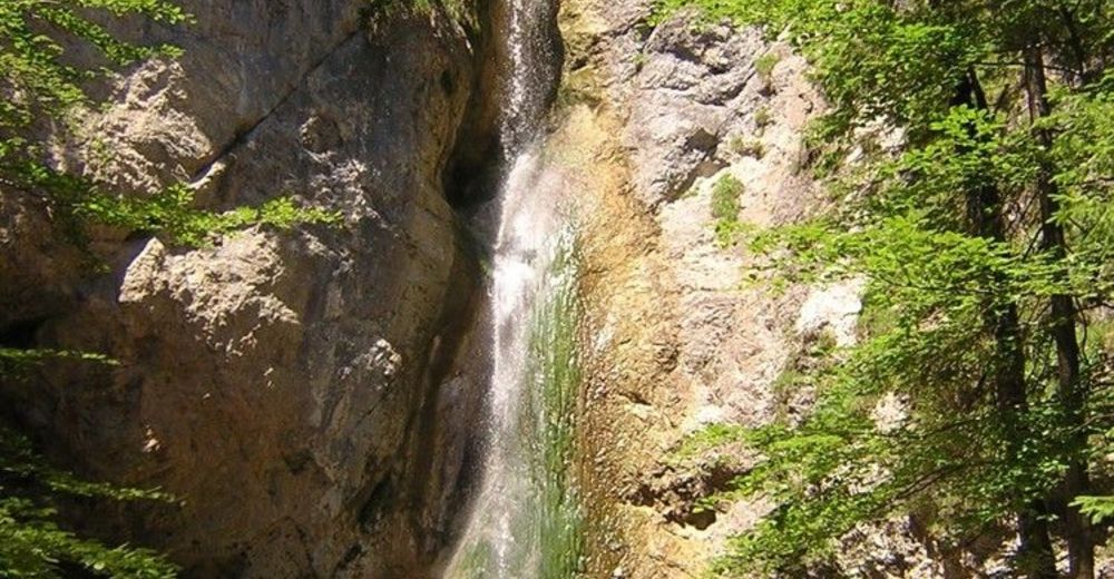
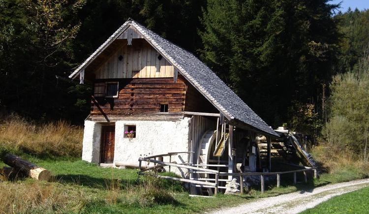
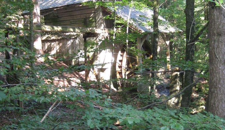
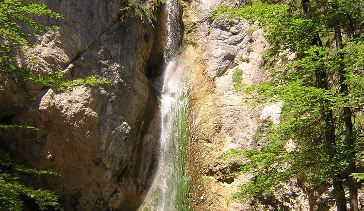
Familienwanderung auf den Spuren der Müller
- Difficulty
-
medium
- Rating
-
- Route
-
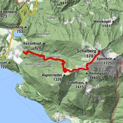
Koppl (755 m)0.0 kmKirchenwirt0.0 kmUnterberg2.7 kmMühlgrubsiedlung3.6 kmSportplatzsiedlung3.7 kmPlötz4.4 kmHinterschroffenau5.9 kmKoppl (755 m)6.8 kmKirchenwirt6.9 km
- Best season
-
JanFebMarAprMayJunJulAugSepOctNovDec
- Highest point
- 763 m
- Endpoint
-
Dorfzentrum Koppl
- Height profile
-

-

-
AuthorThe tour Von Koppl über den Mühlenweg zur Plötz is used by outdooractive.com provided.
GPS Downloads


General info
Insider tip
Other tours in the regions
-
Fuschlsee - Ferienregion
1659
-
Ebenau
565