

© Tourismusverband Radstadt/Rupert Mühlbacher - Rupert Mühlbacher

© Bürgerbergalm/Thomas Stiegler - Thomas Stiegler

© Berggasthof Rohrmoos/Mathias Bichler - Mathias Bichler

- Brief description
-
Walking time via Bürgerbergalm: 1 hour 30 minutes
- Difficulty
-
medium
- Rating
-
- Starting point
-
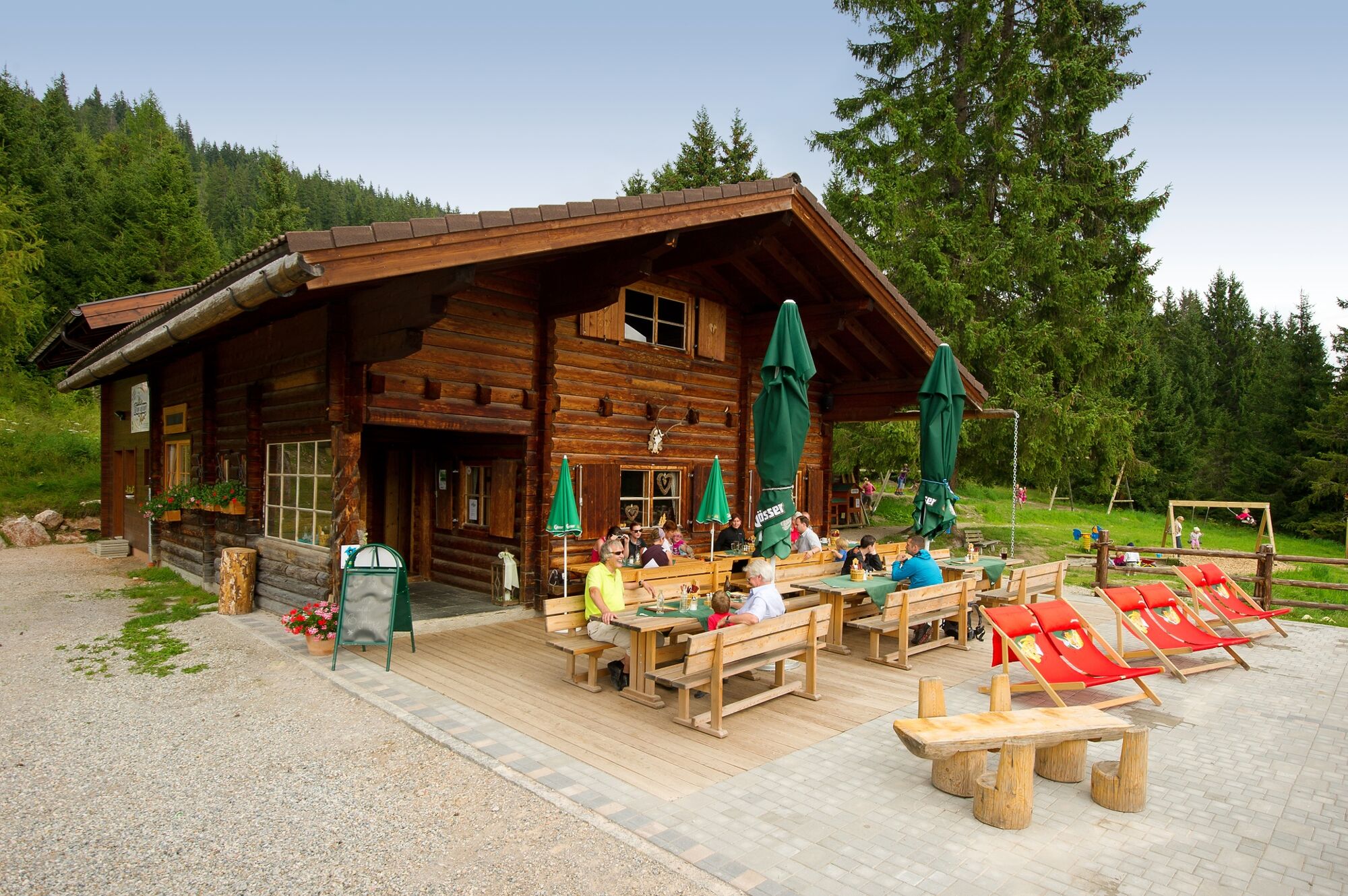
Rohrmoss mountain-inn
- Route
-
Bürgerbergalm1.6 km
- Best season
-
JanFebMarAprMayJunJulAugSepOctNovDec
- Description
-
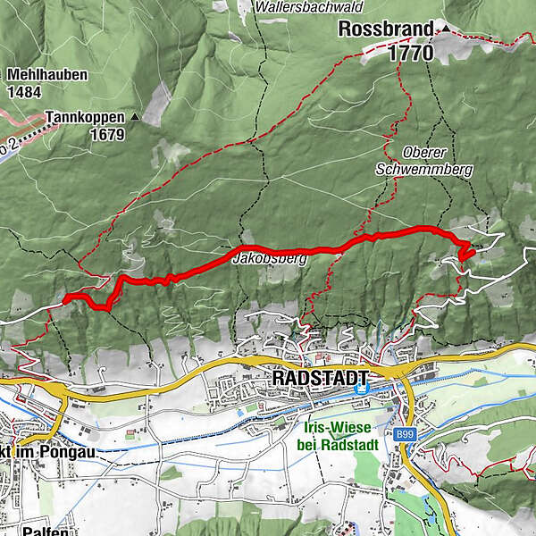
A beautiful forest path begins directly at the Rohrmoos mountain-inn (accessible by car), and after a while you get past the meadow of the Grubbauer to a flat forest path. Westwards along this path you can easily reach the Bürgerbergalm.
A wide forest path leads from the Bürgerbergalm above the Jakobsberg estate further westwards. There a short and narrow footpath branches off to the left and offers you the connection to another flat forest path towards Habersatt. The last third of the way to the Habersatt Jausenstation takes you along a narrow footpath again.
- Highest point
- 1,266 m
- Endpoint
-
Jausenstation Habersatt
- Height profile
-

- Equipment
-
In our hiking test center in Radstadt you can rent and test hiking shoes, hiking poles, backpacks and child carriers. With the guest card, the first day is free.

-

-
AuthorThe tour Schwemmberg High Route is used by outdooractive.com provided.
GPS Downloads


General info
Refreshment stop
Other tours in the regions
-
Schladming - Dachstein
3001
-
Salzburger Sportwelt
2210
-
Radstadt
597


