


- Brief description
-
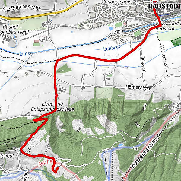
Ennsweg - Tandalierstraße - Eckwaldweg - Berggasthof Bliembauer
- Difficulty
-
medium
- Rating
-
- Starting point
-
Radstadt post office
- Route
-
Radstadt (858 m)0.0 kmBerggasthof Bliembauer4.6 km
- Best season
-
JanFebMarAprMayJunJulAugSepOctNovDec
- Description
-
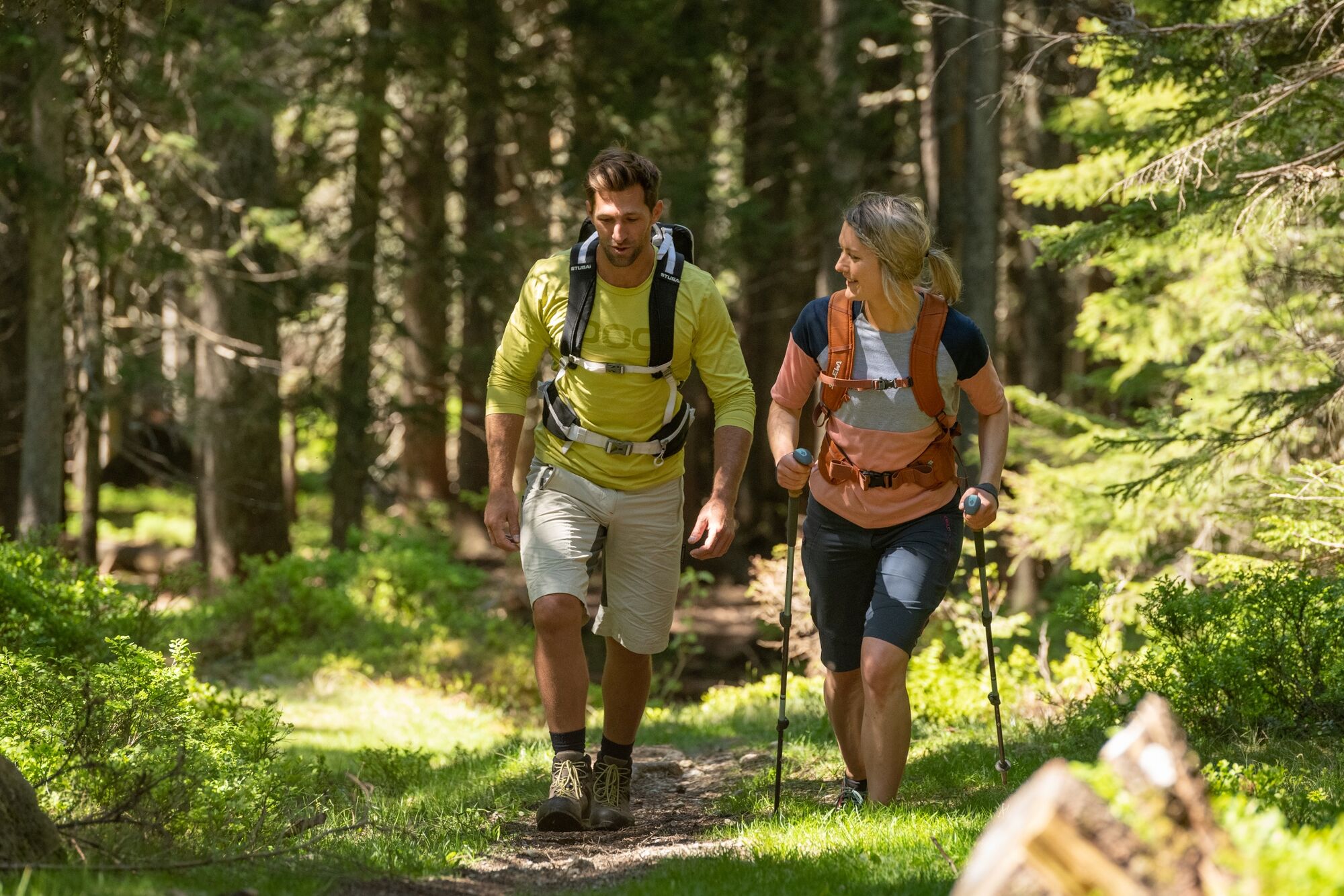
The hike you leads from the post office down to the Enns and over the Ennsweg. Continue on Tandalierstraße and Eckwaldweg, from where you hike in serpentines to the Bliembauer mountain inn. A beautiful terrace offers a wonderful view of Altenmarkt and the Salzburg mountains. The return march to Radstadt is possible alternatively via path No. 69 through the forest and via the Gasthof Unterberg.
- Directions
-
You start from the post office down the Moosbühel and then over the railway crossing and the Enns bridge. There you turn right into Simonystraße and continue to Tandalierstraße. On Tandalierstraße you walk left and cross Römerstraße and continue on Tiefenbachweg. Immediately after the Hacklgut (farm), the Eckwaldsteig branches off to the left. Cross the small hill in serpentines and reach a small asphalt road at the Zauchtalerhof horse pension, which leads to the Bliembauer mountain inn on the left.
- Highest point
- 1,061 m
- Endpoint
-
Bliembauer mountain inn (Altenmarkt)
- Height profile
-

- Equipment
-
In our hiking test center in Radstadt you can rent and test hiking shoes, hiking sticks, backpacks and child carriers. With the guest card, the first day is free.
- Parking
-
You can park directly at the city pond in Radstadt, from there it is about 50 m to the post office.
-

-
AuthorThe tour Eckwaldweg is used by outdooractive.com provided.


General info
-
Schladming - Dachstein
3000
-
Salzburger Sportwelt
2210
-
Radstadt
597


