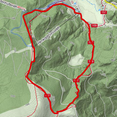
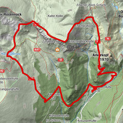
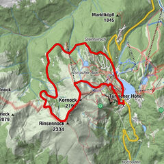
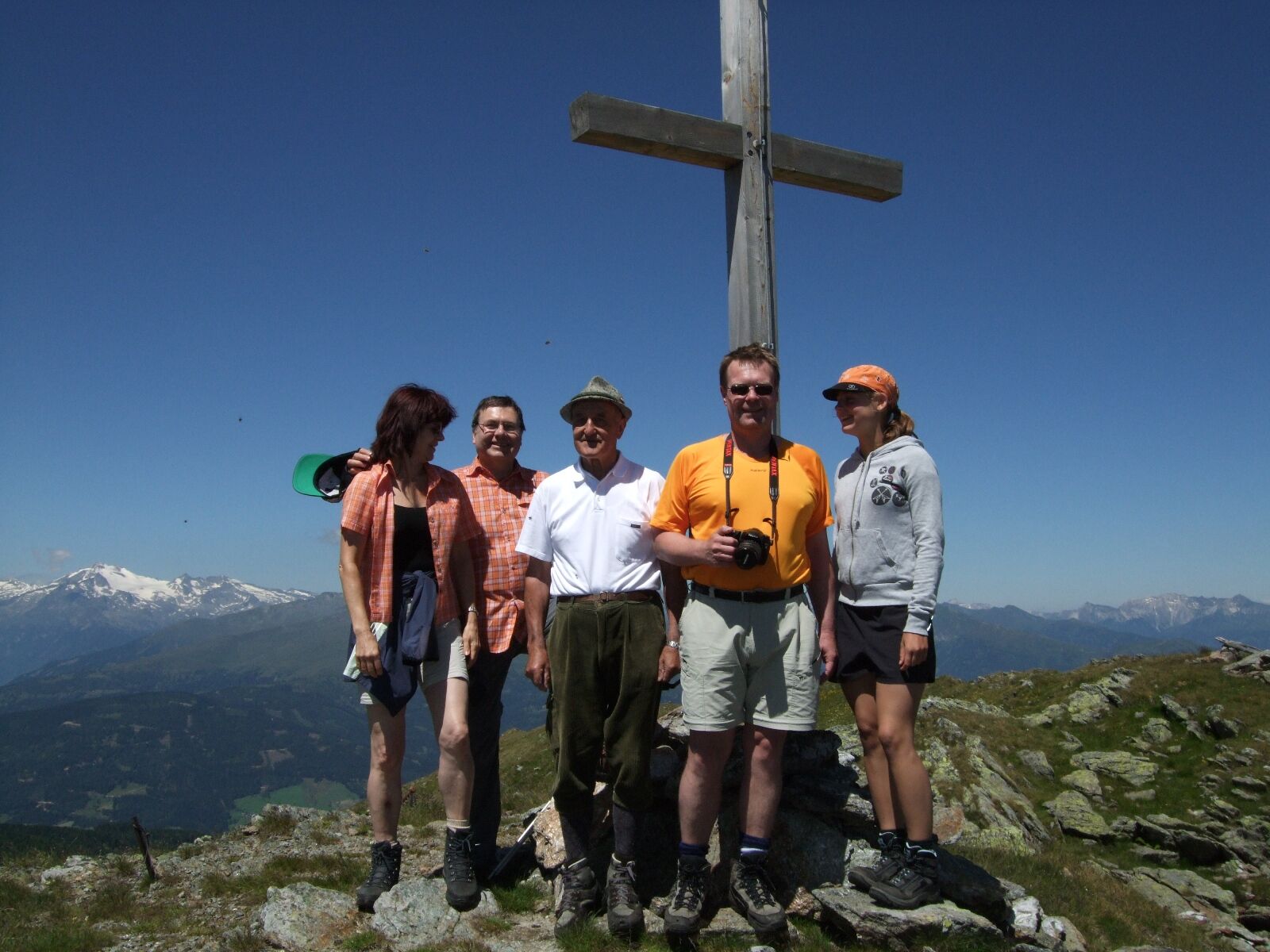
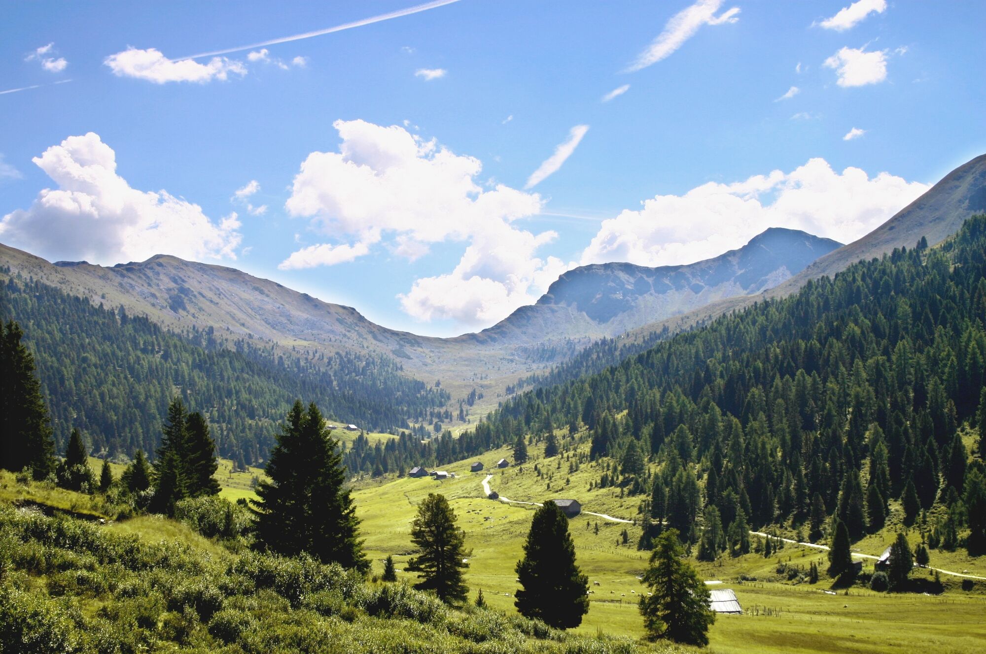
Schönfeld, Schilcher- und Klölingnock im Biosphärenpark Nockberge

Hiking

© Region Katschberg Lieser-Maltatal - Michaela Isola

© Region Katschberg Lieser-Maltatal - Michaela Isola

© Region Katschberg Lieser-Maltatal - Michaela Isola


- Brief description
-
Ausgehend von Schönfeld begeben wir uns in eine abwechslungsreiche Gegend der "Nocken".
- Difficulty
-
medium
- Rating
-
- Route
-
Klöllingscharte (2,116 m)2.7 kmKlölingnock (2,178 m)4.2 kmSchilchernock (2,270 m)5.5 km
- Best season
-
JanFebMarAprMayJunJulAugSepOctNovDec
- Highest point
- 2,237 m
- Endpoint
-
Parkplatz Schönfeld
- Height profile
-

- Author
-
The tour Schönfeld, Schilcher- und Klölingnock im Biosphärenpark Nockberge is used by outdooractive.com provided.
GPS Downloads


General info
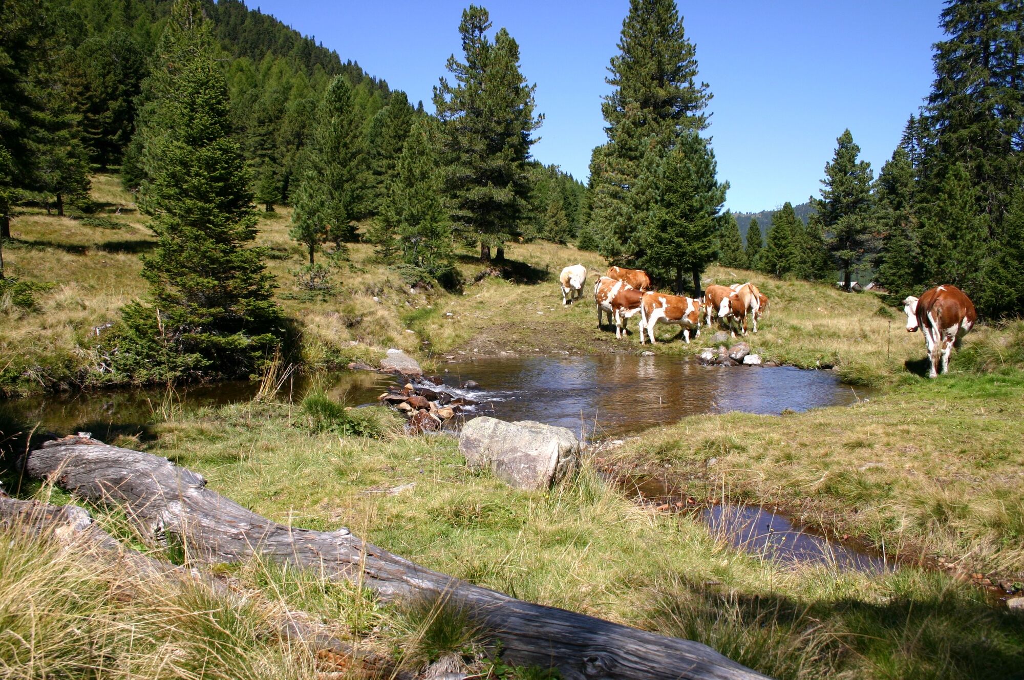
Fauna
A lot of view
Other tours in the regions