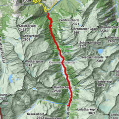
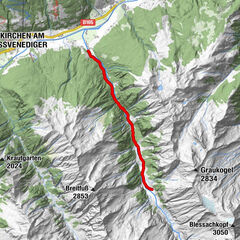
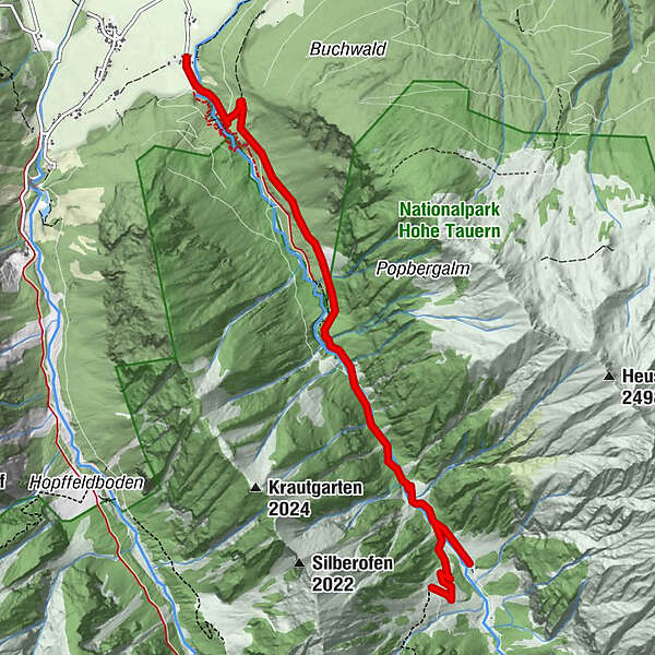
Tour data
6.74km
849
- 1,381m
545hm
27hm
02:30h
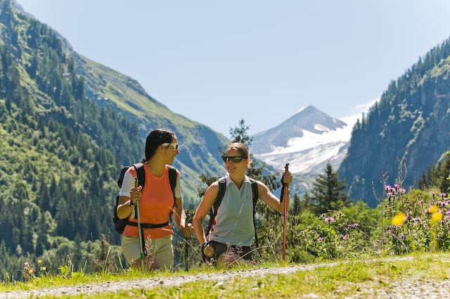
- Brief description
- Difficulty
-
easy
- Rating
-
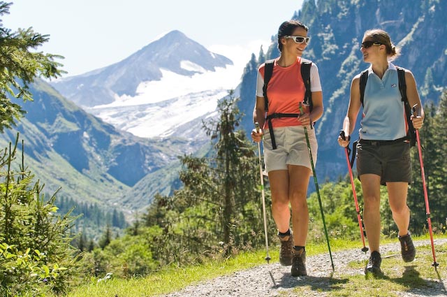
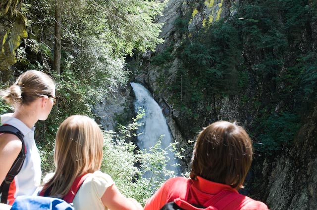
- Route
-
Gasthof Schütthof0.0 km
- Best season
-
JanFebMarAprMayJunJulAugSepOctNovDec
- Highest point
- 1,381 m
- Endpoint
-
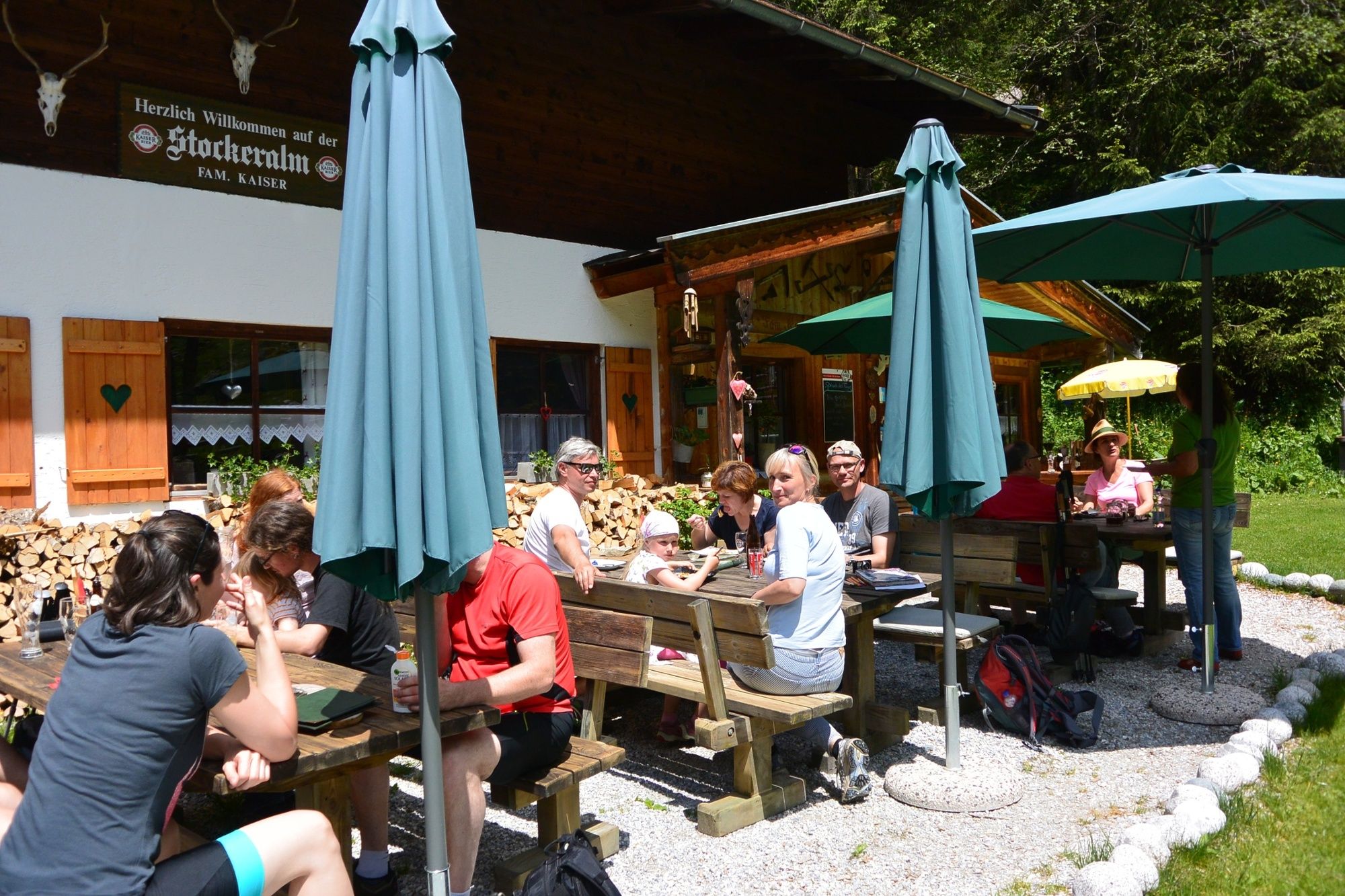
Stockeralm oder Finkalm
- Height profile
-


- Author
-
The tour Neukirchen: Untersulzbachtal is used by outdooractive.com provided.
GPS Downloads


General info
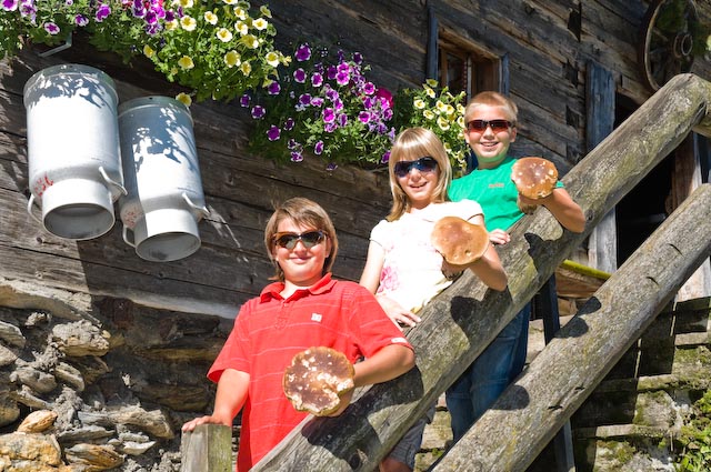
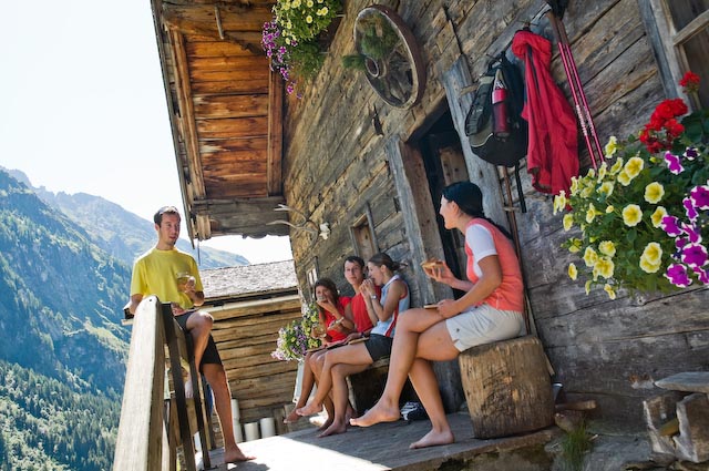
Refreshment stop
Other tours in the regions