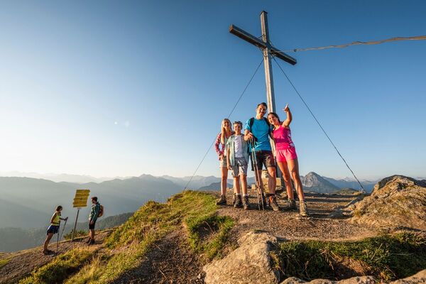

- Brief description
-
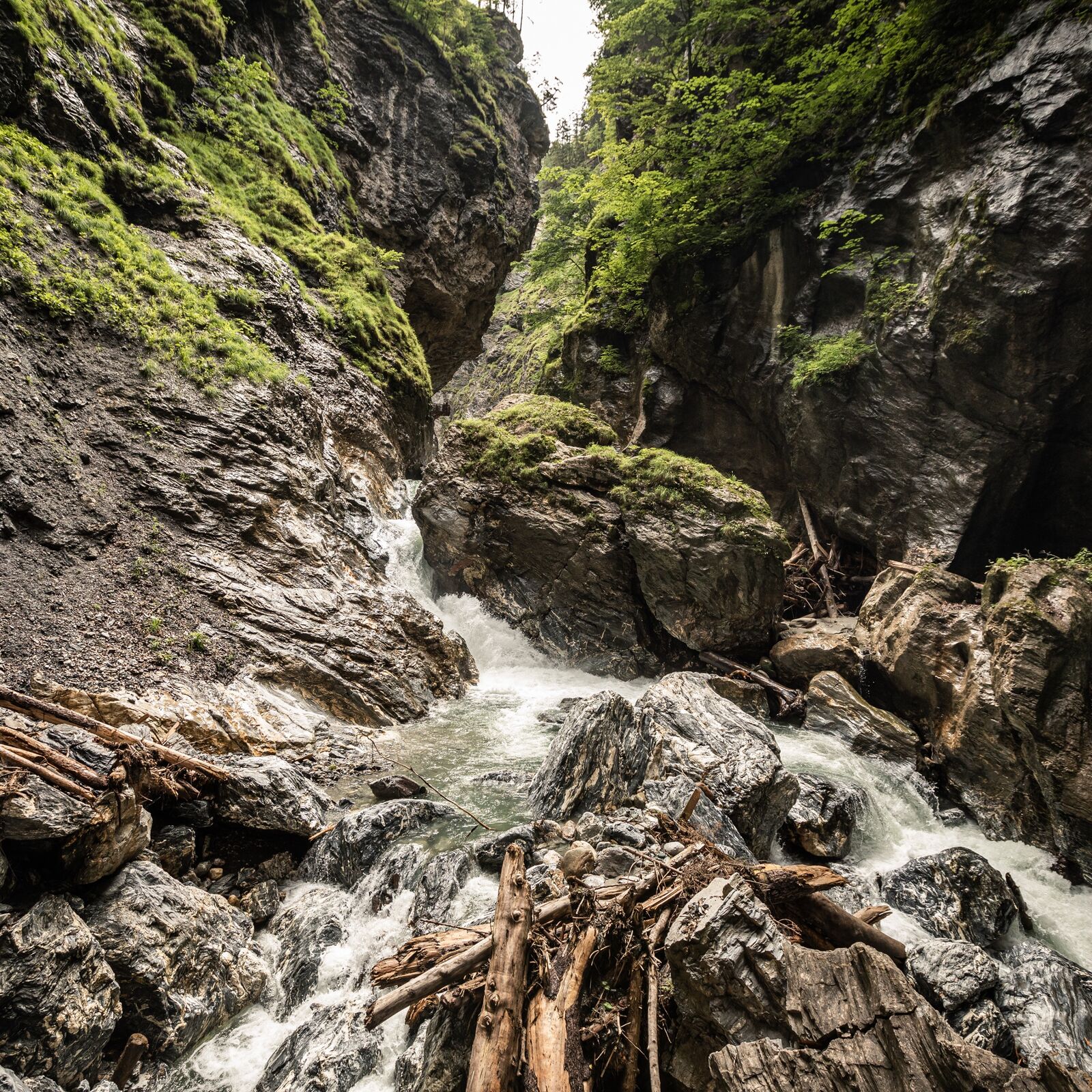
Liechtenstein Gorge is certainly one of the longest, deepest, and most impressive gorges in the Alps.
- Difficulty
-
medium
- Rating
-
- Starting point
-
City centre or train station
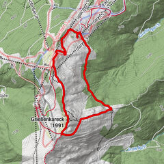
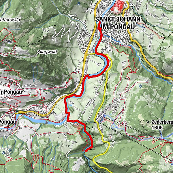
- Route
-
St. Johann im PongauSankt Johann im PongauSankt Johann im Pongau0.3 kmOka-Bichl4.4 kmLiechtensteinklamm5.7 kmKlammfürst5.8 km
- Best season
-
JanFebMarAprMayJunJulAugSepOctNovDec
- Description
-
Along the banks of the Salzach you will find flat walking paths on both sides. Along these footpaths you can hike to the legendary Liechtensteinklamm gorge. The hike takes about 1 to 1.5 hours and takes you directly to the gorge, which you can visit afterwards. In the entrance area of the Liechtensteinklamm you will find two inns that invite you to linger. Hike back the same way or branch off after a short forest path to Liechtensteinklammstraße and take the city bus back to the city centre.Translated with www.DeepL.com/Translator (free version)
- Highest point
- 627 m
- Endpoint
-
Liechtensteinklamm
- Height profile
-

- Tips
-
The gorge is at its most beautiful in the early morning and late afternoon. During the busy season (June, July and August) in wet weather and at visitor peak times between 10am and 2pm. there may be a waiting period.
- Parking
-
Parking lots at the train station or Sport Centre. Outside of the city centre you can park your car at the power plant Plankenau.
- Author
-
The tour St. Johann - Liechtensteinklamm is used by outdooractive.com provided.