
- Difficulty
-
medium
- Rating
-
- Starting point
-
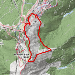
Alpendorf
- Route
-
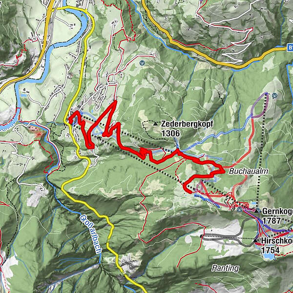
Alpendorf0.1 kmOberforsthofalm0.3 kmAlpengasthof Sternhof3.4 kmKreistenalm5.3 kmObergaßalm7.4 km
- Best season
-
JanFebMarAprMayJunJulAugSepOctNovDec
- Description
-
We begin in the part of St. Johann called Alpendorf. Leave your car in one of the many parking lots or the underground parking garage of the Alpendorf gondola valley station. From there you will take the panorama trail past the Oberforsthof Alm Alpine Hut (passing to the right) towards the Gut Berg Hotel. Once you reach the hotel, head left past a farm house and on towards the Hotel Stern, passing the Gut Berg Alpine Hut on your way. The alternative would be to drive to the Hotel Stern and continue from there on foot (parking for hikers available).
From Hotel Stern you will come to a gravel road that leads up a slight incline to the Kreisten Alm Alpine Hut and from there left past the chair lift to the summit station of the Alpendorf gondola. The picturesque Obergass Alm Alpine Hut is located adjacent to the summit station.
- Highest point
- 1,553 m
- Endpoint
-
Alpendorf gondola summit station
- Height profile
-

- Tips
-
The alternative would be to drive to Hotel Stern and continue from there on foot (parking for hikers available).
You can take the gondola (operating hours: June to October) up to the summit station and then continue hiking - see Geisterberg & Gernkogel or Gernkogel & Sonntagskogel.
- Parking
-
You can park your car in Alpendorf either next to the gondola valley station or in one of the basement garages.


- Author
-
The tour Alpendorf - Summit station cable car is used by outdooractive.com provided.