


- Difficulty
-
medium
- Rating
-
- Starting point
-
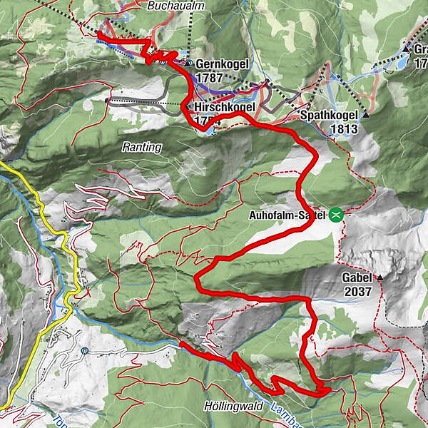
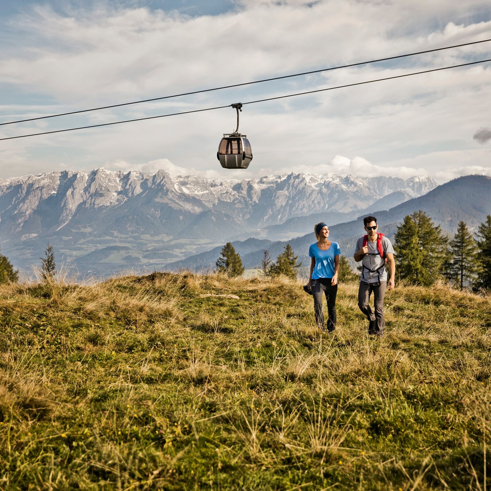
Alpendorf gondola summit station
- Route
-
Gondl StubnVoralpe0.1 kmHubertuskapelle1.1 kmGernkogelalm1.4 kmHirschkogel (1,754 m)2.5 kmMaurachalm5.1 kmMuggenfeldalm (Rothofalm)5.9 kmUnterwandalm8.1 kmKarsegg-Heimalm8.9 kmBreitenebenalm10.6 km
- Best season
-
JanFebMarAprMayJunJulAugSepOctNovDec
- Description
-
Begin at the summit station of the Alpendorf gondola (operates from Jun to October www.snow-space.com
Follow the narrow road leading away from the summit station, past the Buchau Hütte Alpine Hut to the Gernkogel Alm Alpine Hut. From there circumnavigate the wooded knoll of Gernkogel Mountain passing it on the right. Follow the wide saddle towards Sonntagskogel Mountain until you come to the turn-off for the "Wagrainer Höhenweg” (Wagrain high alpine trail) heading towards the Maurach Alm Alpine Hut. From here you continue your journey to the interior of the valley on a path that leads mostly downhill past the Maurach Alm, Muggenfeld Alm (Rothof Alm), the Unterwald Alm and the Karsegg Alm Alpine Huts to the Sonneck Bridge.
Taxi transfers are available for the return trip to Alpendorf. However, should you prefer to walk some of the way, you can take the service road down to the Sonneck Bridge (about 1 hour), take the Grossarl Hikers’ Bus into the town of Grossarl and transfer to the public bus #540 (bus stop “Grossarl Town Centre") for the ride back to Alpendorf.
- Highest point
- 1,739 m
- Endpoint
-
Großatltal - Sonneck Bridge
- Height profile
-

- Parking
-
You can park your car in Alpendorf either next to the gondola valley station or in one of the basement garages.
- Author
-
The tour 5. Alpine pasture tour with 5 alpine huts is used by outdooractive.com provided.


General info
-
Katschberg Lieser-Maltatal
2572
-
Großarltal
2169
-
Wagrain / Wagrain - Kleinarl
677


