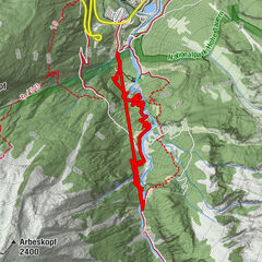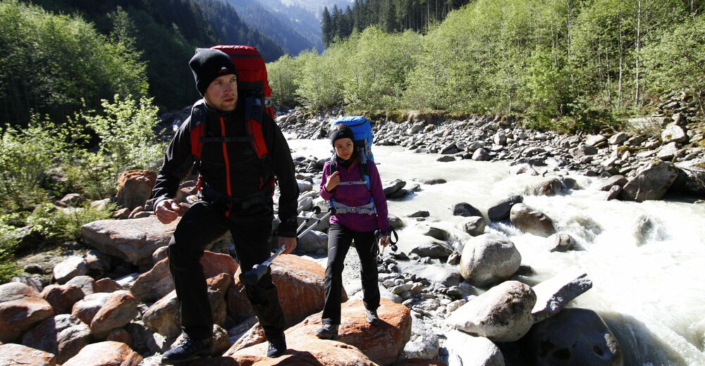
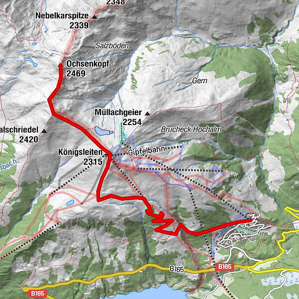
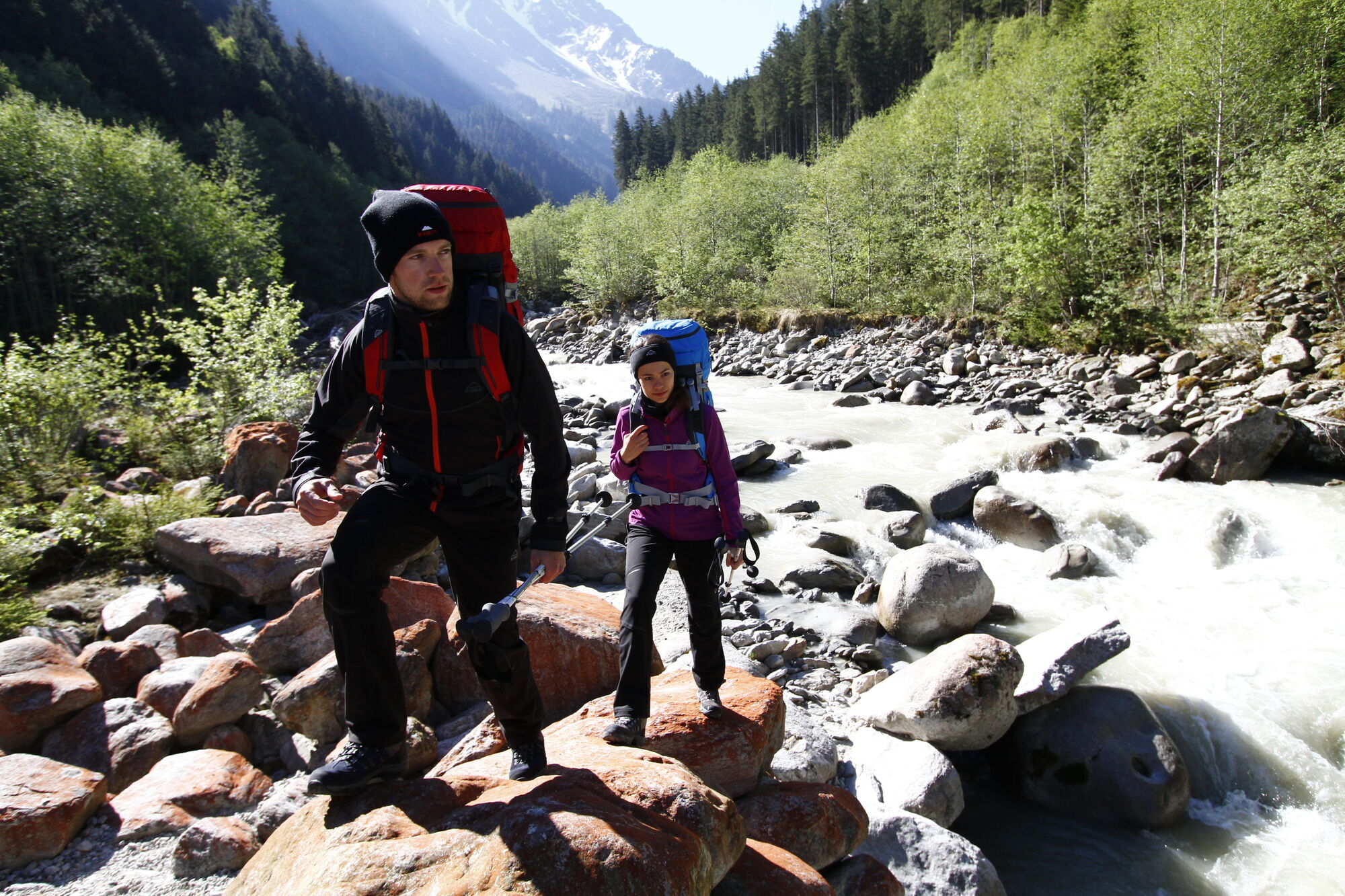
Tour data
7.29km
1,587
- 2,430m
890hm
05:30h
- Difficulty
-
difficult
- Rating
-
- Starting point
-
Königsleiten
- Route
-
Königsleiten (1,602 m)0.1 kmLarmach-Alm3.1 kmKönigsleitenspitze (2,315 m)5.0 kmSattelscharte (2,244 m)5.4 kmFalschriedel (2,420 m)6.1 kmOchsenkopf (2,469 m)7.1 km
- Best season
-
JanFebMarAprMayJunJulAugSepOctNovDec
- Highest point
- 2,430 m
- Ticket material
-
Kompass Wandersafari Oberoberpinzgau
GPS Downloads


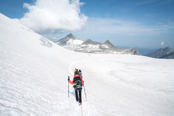
Trail conditions
Asphalt
Gravel
Meadow
Forest
Rock
Exposed
Other tours in the regions
-
Zillertal Arena
1322
-
Krimml - Hochkrimml
325