© Flachau Tourismus
© Flachau Tourismus
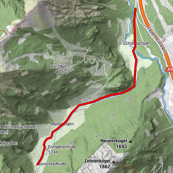
Tour data
3.22km
1,107
- 1,267m
149hm
01:30h
- Brief description
-
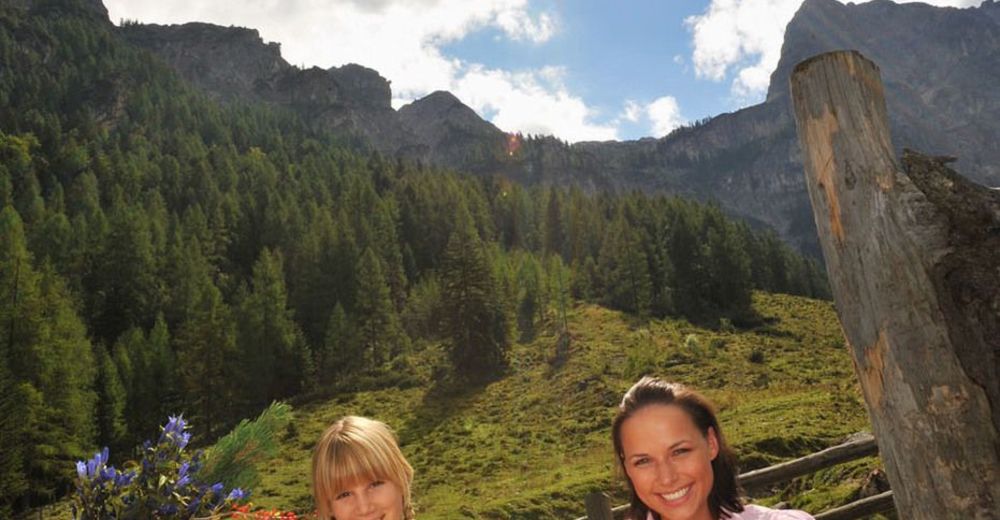
familienfreundliche Wanderung, auch mit Kinderwagen bzw. mit Kleinkindern möglich
- Rating
-
- Starting point
-
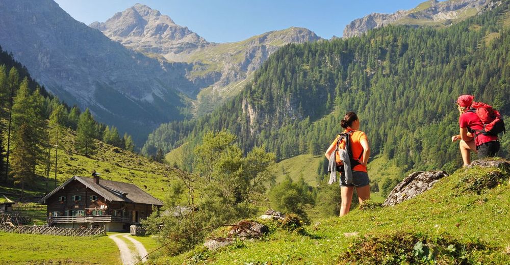
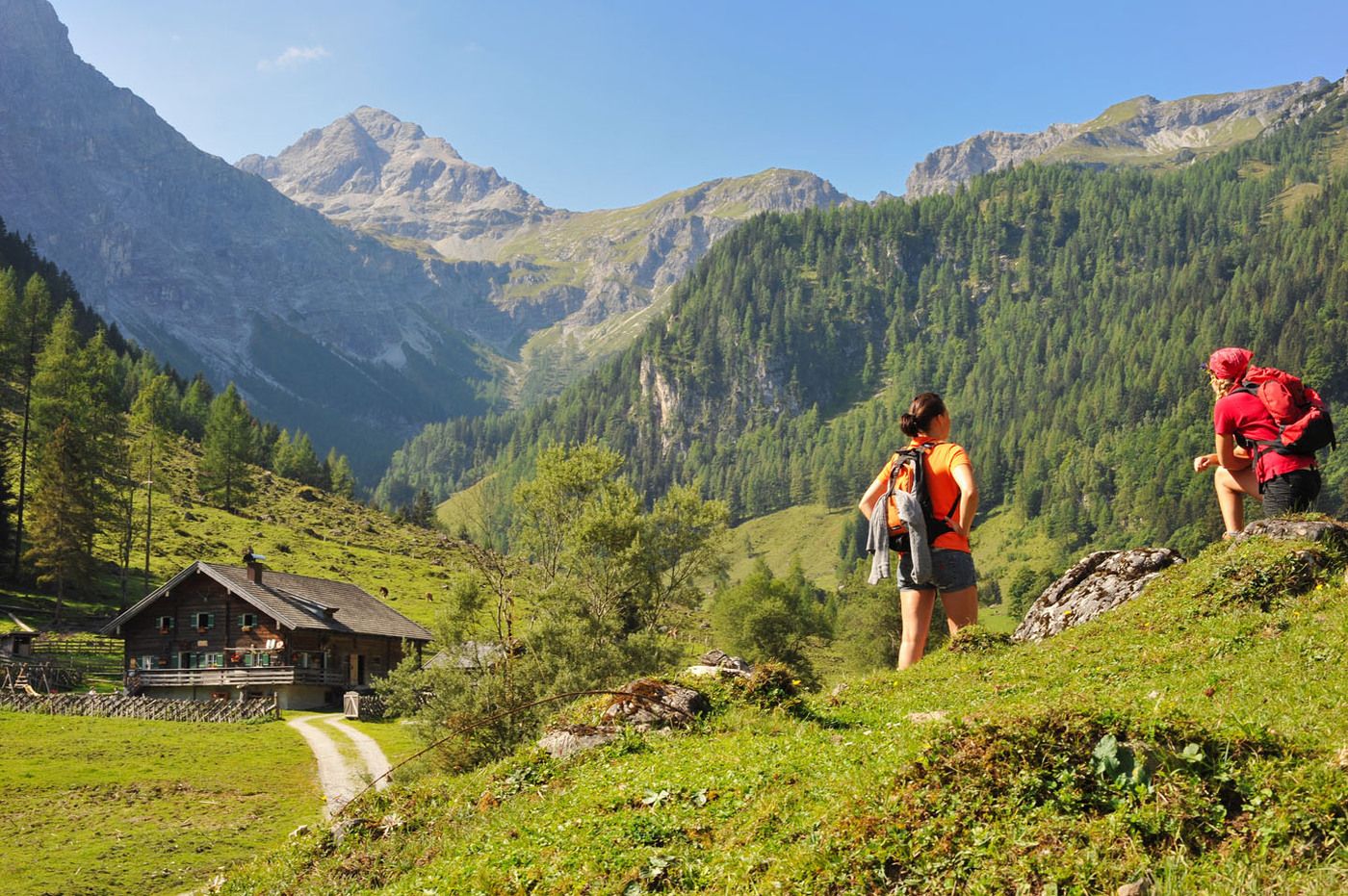
Parkplatz Marbachtal
- Route
-
Hintere Marbachalm2.9 km
- Highest point
- 1,267 m
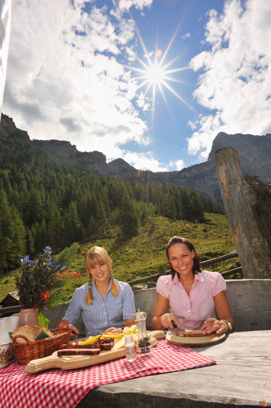
- Rest/Retreat
-
Prechtlhütte, Ennslehenhütte und Anichhofhütte
- Ticket material
-
erhältlich beim Tourismusverband Flachau, info@flachau.com
GPS Downloads


Trail conditions
Asphalt
Gravel
Meadow
Forest
Rock
Exposed
Other tours in the regions
-
Katschberg Lieser-Maltatal
2557
-
Salzburger Sportwelt
2193
-
Flachau
614