
- Brief description
-
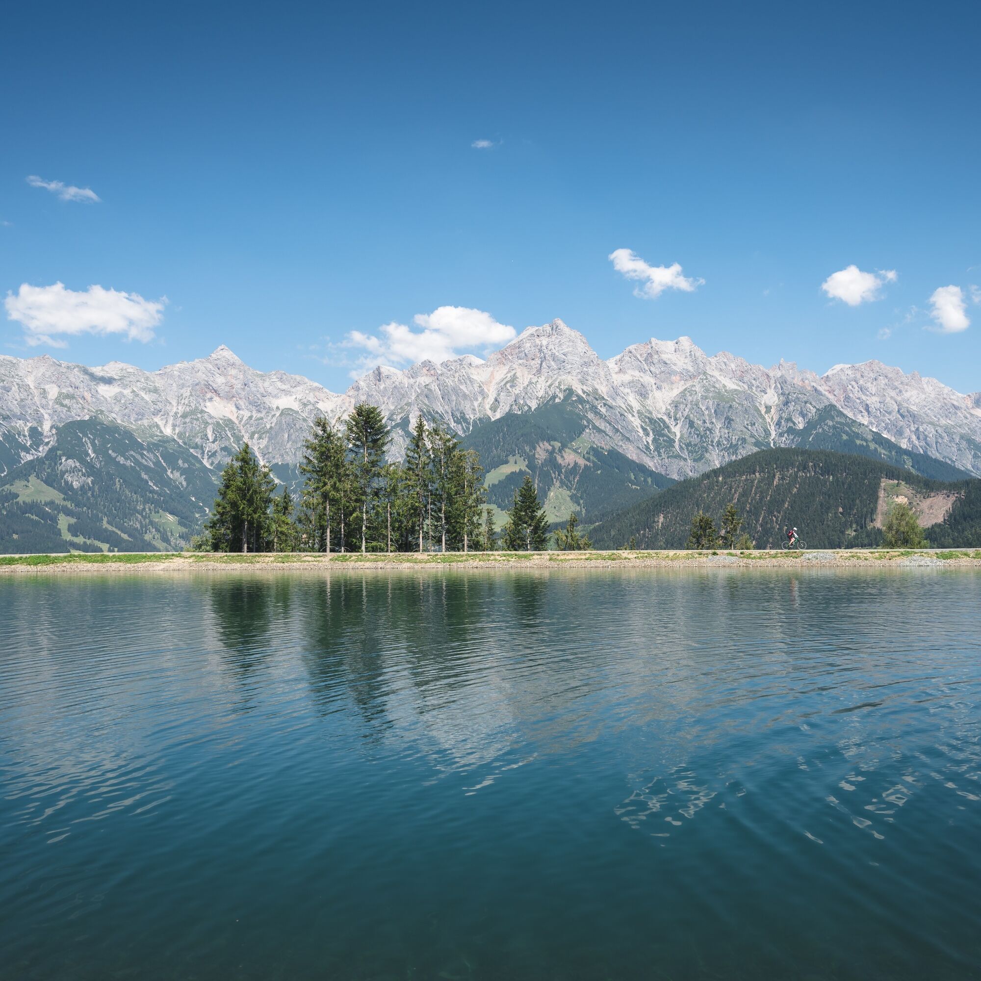
After a slight ascent via trail no. You reach the Natrun after a good 20 minutes. The first highlight is already waiting here. Not only the little princesses and princes will be enchanted by the beautiful Prinzensee with its magnificent 360° panoramic view.
- Difficulty
-
easy
- Rating
-
- Starting point
-
Maria Alm centre
- Route
-
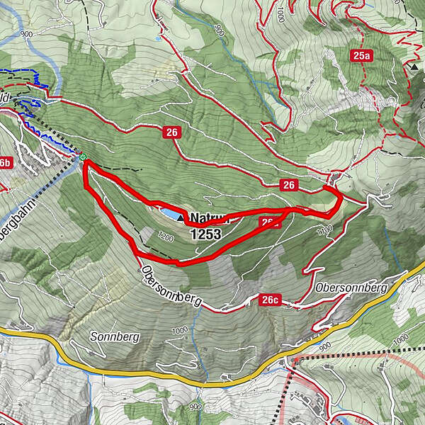
Tom AlmhütteNatrun (1,253 m)0.7 kmSchlosspielplatz3.3 kmGrammlergut3.4 kmTom Almhütte4.0 km
- Best season
-
JanFebMarAprMayJunJulAugSepOctNovDec
- Description
-
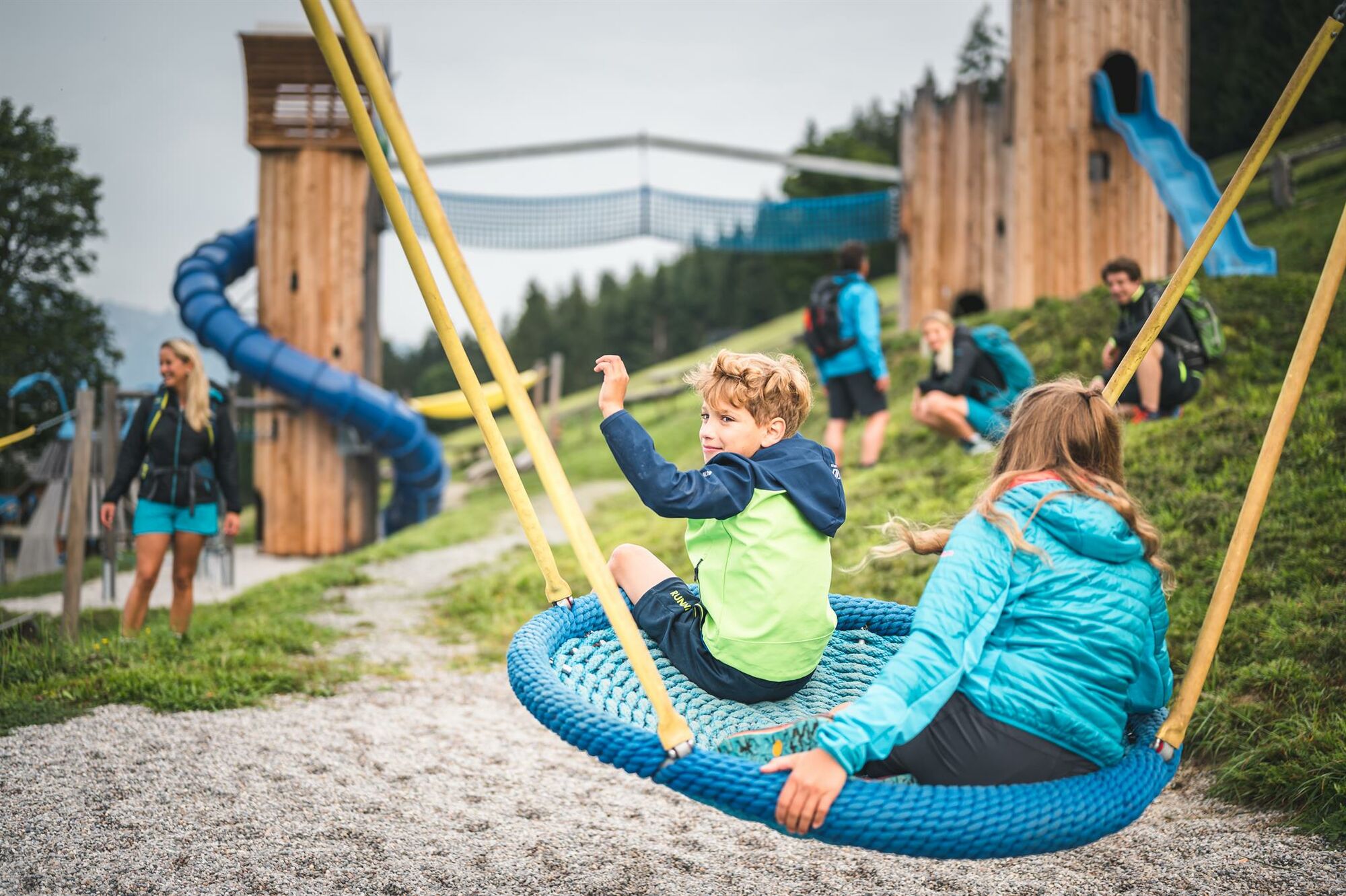
The start is right in the center of Maria Alm, from where you comfortably ascend with the Natrun cable car. Here, the TOM Alpine Hut invites you for your first stop with its castle playground, petting zoo, and herb garden.
Of course, you can also head straight for the summit of Natrun. It's reachable after a gentle ascent. Here, the first highlight awaits you.
The magnificent Prinzensee with its stunning 360° panoramic view will enchant not only the little princesses and princes. Who knows, maybe Mom and Dad will be inspired by an exciting fairy tale, making long-distance hiking even easier.
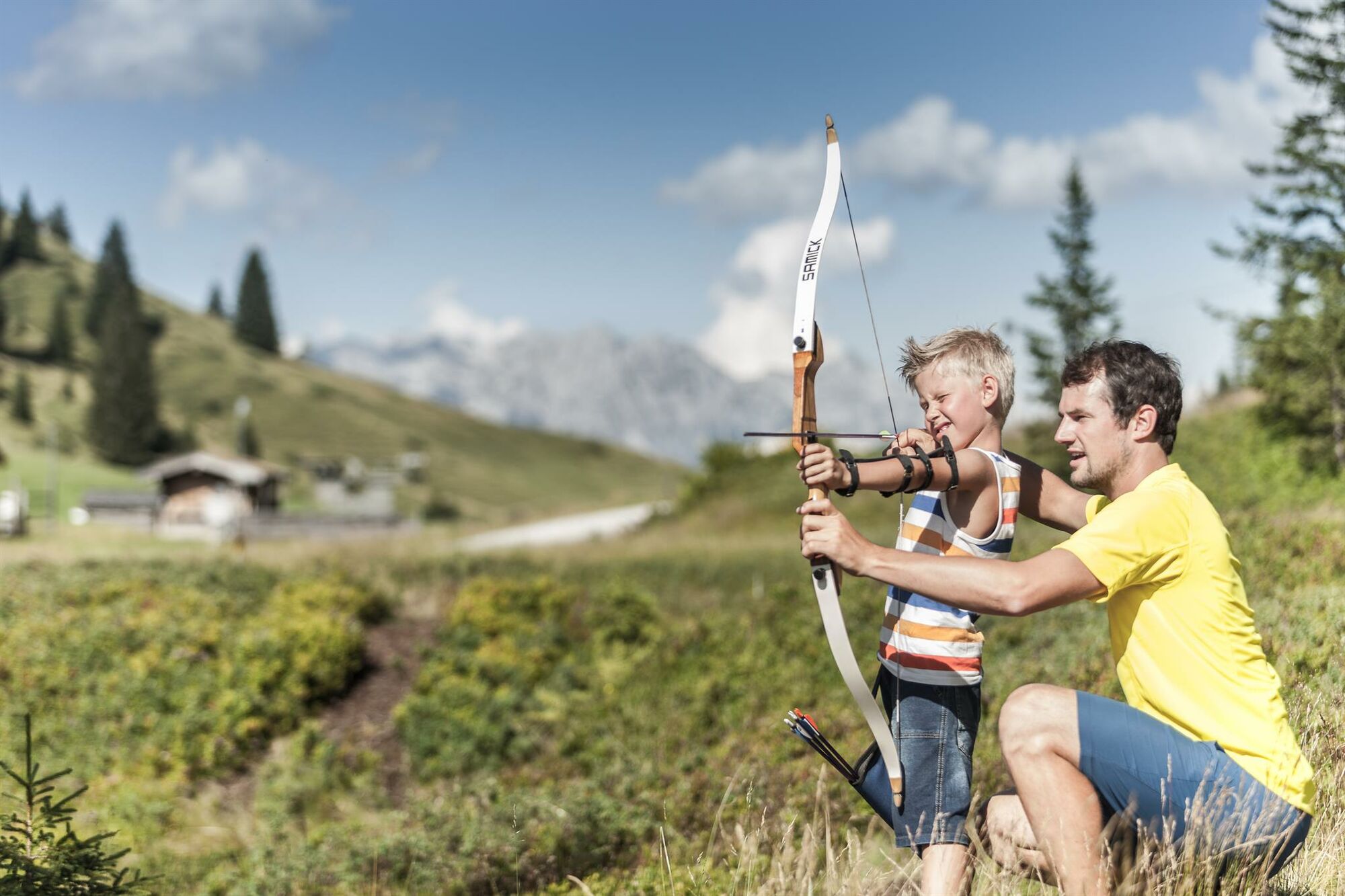
The next stop is the Jufenalm, where an archery course and a wildlife enclosure await you.
Then it's on to the Grammlergut. If you still have energy to spare, you'll love the huge adventure playground right next to the hut.
Designed as a circular route, this hike is ideal for children as it offers plenty of variety!
- Directions
-
Let's start right in the center of Maria Alm, from where you can comfortably ride up with the Natrun cable car. There, the TOM Alm Hut invites you for the first break. Of course, you can also head straight for the summit of Natrun. It can be reached after a gentle ascent via trail No. 401A in about 20 minutes. But it's only about a 30-minute walk to the next stop, the Jufenalm, anyway. To return to the starting point of the hike, take trail No. 26a to the Grammlergut snack station.
From here, it's only a few minutes' walk to the mountain station of the Natrun cable car.
- Highest point
- 1,247 m
- Endpoint
-
Maria Alm centre
- Height profile
-

- Equipment
-
Sturdy, ankle-high footwear
Walking sticks
Headgear
Sun protection
Sunglasses
Rain protection
Drinks and a snack
Necessary medication
First aid kit
Hiking map - Safety instructions
-
Weather forecasts Take note of the current weather conditions at: www.zamg.at
Together Follow the 10 rules for the correct handling of grazing animals and do not leave any waste in nature!
Do not kick stones Do not kick stones as this can seriously endanger other hikers. Marked places with a danger of falling rocks should be crossed as quickly as possible and with attention and caution.
Turn back in good time This is not a disgrace, but a sign of common sense. It becomes necessary when the weather changes, fog rolls in, and also when the path is too difficult or not in good condition.Emergency numbers: Alpine emergency call: 140
International emergency call: 122 - Tips
-
The Prinzensee invites you to linger and take pictures.
- Additional information
- Arrival
-
Coming from Salzburg: Take the A10 motorway to the Bischofshofen exit, then take the B311 towards Bischofshofen. Follow the Hochkönig Bundesstraße/B164 to Maria Alm.
Coming from Innsbruck/ Kufstein: Take the Loferer Straße/B178 in the direction of St. Johann i.T., then follow the Hochkönig Bundesstraße/B164 via Saalfelden to Maria Alm.
A valid vignette is required to use the Austrian motorway and motorway network. It is also compulsory to carry a first-aid kit, warning triangle and high-visibility waistcoat. Further information can be found under Asfinag. - Public transportation
- Parking
-
Free parking at the beginning of the village and in the centre of Maria Alm
- Author
-
The tour Family Hike Prinzensee is used by outdooractive.com provided.