© Saalbach Hinterglemm - R View Productions
© Saalbach Hinterglemm - TVB Saalbach Hinterglemm

- Brief description
-
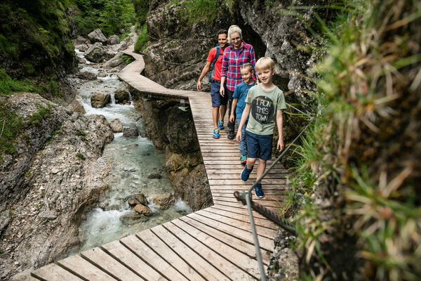
Family friendly tour
- Difficulty
-
medium
- Rating
-
- Starting point
-
Kohlmais lift Saalbach - top station
- Route
-
Montelino's ErlebniswegKohlmaiskopf (1,794 m)0.0 kmMardeckkopf (1,817 m)0.7 kmSchönleitenhütte3.9 kmBergeralm8.3 kmEderalm9.4 km
- Best season
-
JanFebMarAprMayJunJulAugSepOctNovDec
- Description
-
Ascent with the Kohlmais lift to the top station. Along the shady forest path which leads to the Schönleitenhütte. Continue down towards the valley on the Güterweg to the Hochwartweg. Pass the Thurneralm to the middle station of the Kohlmais lift.
Possible detour via Rachkuchl.
Descent with the Kohlmais lift (last descent at 16.45)
- Highest point
- 1,840 m
- Endpoint
-
Kohlmais lift middle station
- Height profile
-

- Directions
-
From Maishofen approx. 14 km along the L111 to Saalbach. At the Aral petrol station turn right into the tunnel where you will find the park house (in the tunnel)
- Public transportation
-
Postbus - daily from 07.00 - 19.00
http://www.postbus.at/de/Fahrplanauskunft/Fahrplandownload/index.jsp
- Parking
-
Park house centre


- Author
-
The tour Kohlmais Rundtour (circular hike) is used by outdooractive.com provided.
GPS Downloads


General info
Refreshment stop
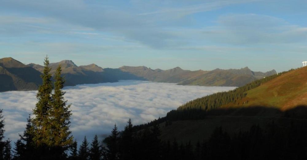
A lot of view
Other tours in the regions
-
Saalbach Hinterglemm
1594
-
Viehhofen
504