

- Brief description
-
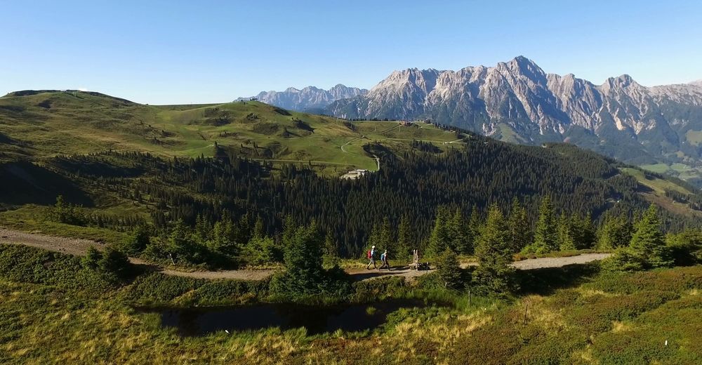
Panoramic trail on the moorlands.
- Difficulty
-
medium
- Rating
-
- Starting point
-
Kohlmais Top Station - Saalbach
- Route
-
Montelino's ErlebniswegPründelkopf (1,877 m)1.9 kmSchönleitenbahn II3.0 kmWildenkarhütte3.0 kmWildenkarkogel (1,910 m)3.0 kmMarienkapelle Schönleiten4.0 kmSchabergkogel (1,888 m)5.4 kmGeierkogel (1,853 m)6.2 kmGeierkogelhütte6.6 kmLochalmköpfl (1,807 m)9.0 kmHaiderbergkogel (1,875 m)9.3 kmSausteigen (1,912 m)10.4 kmGorialm13.2 kmDie Schmiede16.8 kmViehhofen17.0 km
- Best season
-
JanFebMarAprMayJunJulAugSepOctNovDec
- Description
-
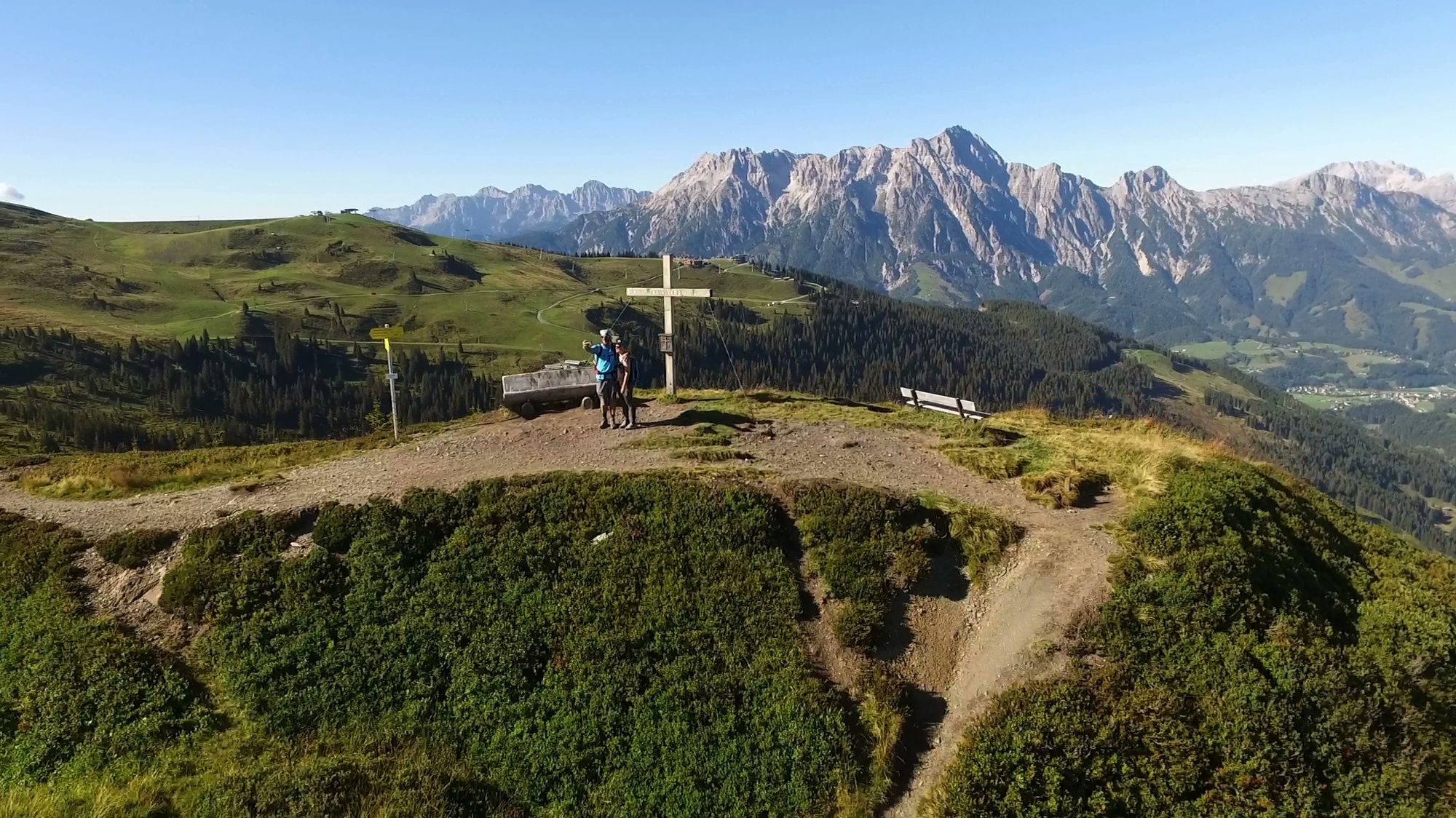
The original Saalachtaler Höhenweg is from Saalbach to the Spielbergtörl to Saalfelden.
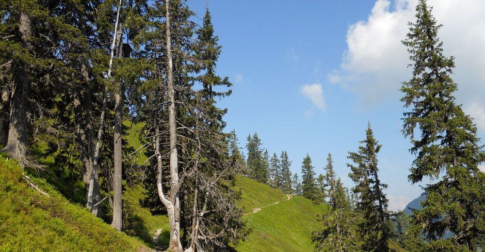
You will find the starting point to this tour alongside the top station of the Kohlmais lift.
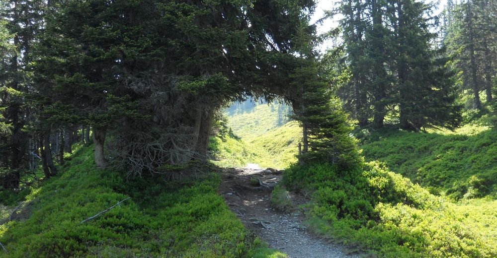
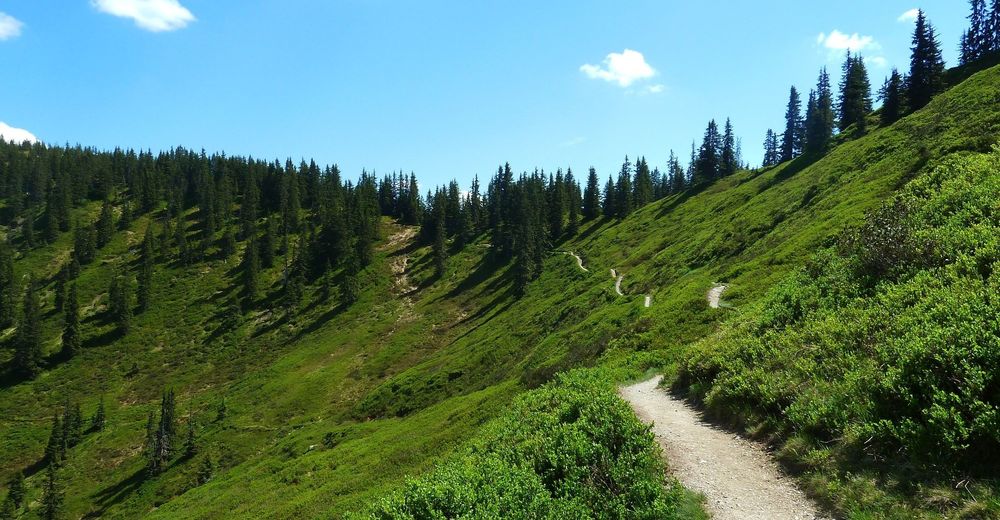
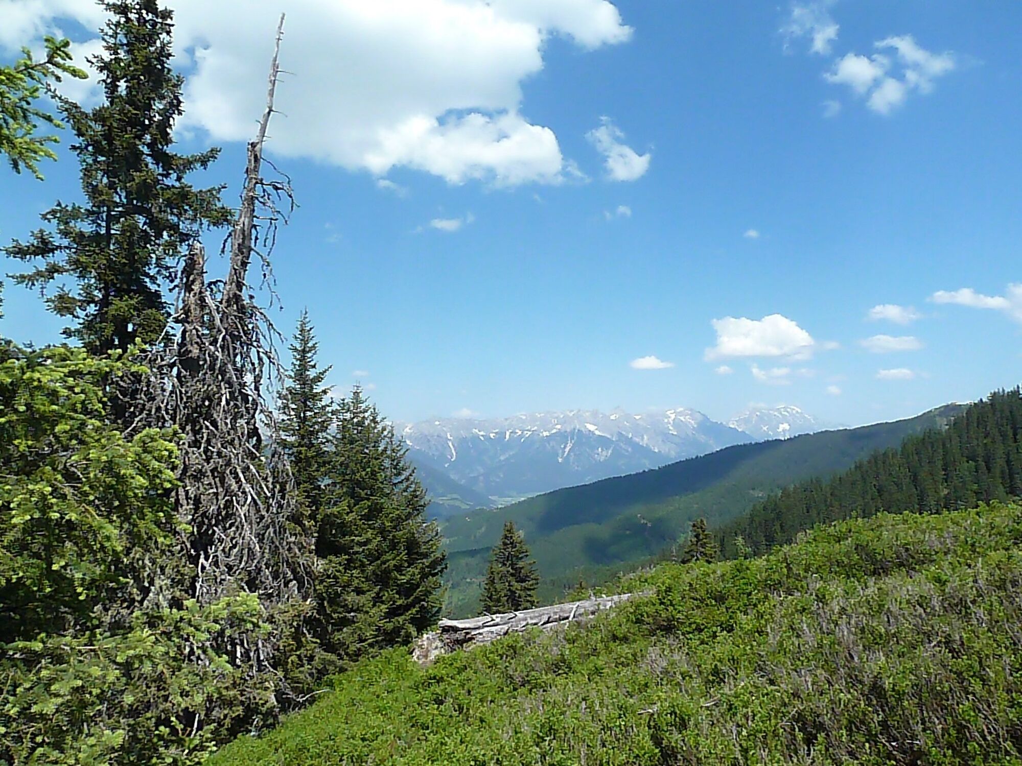
From here the diversified trail will take you through woodlands and on the back of the mountains to the Biberg.
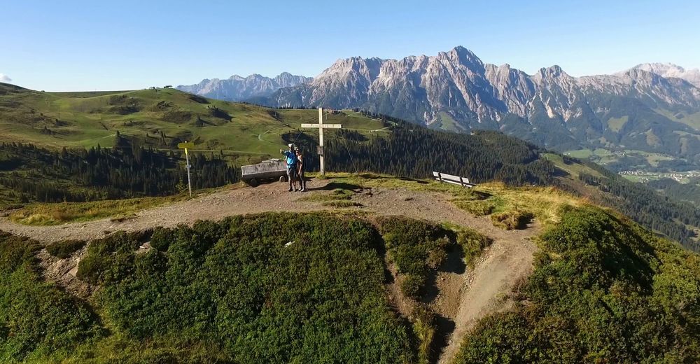
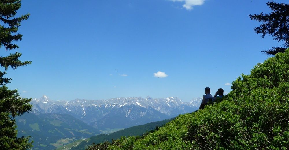
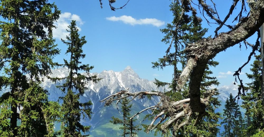
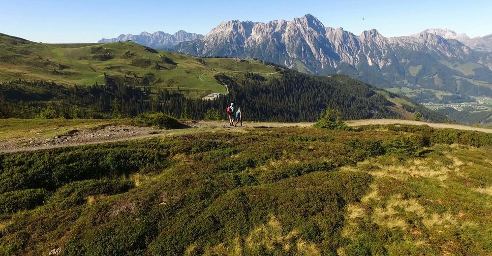
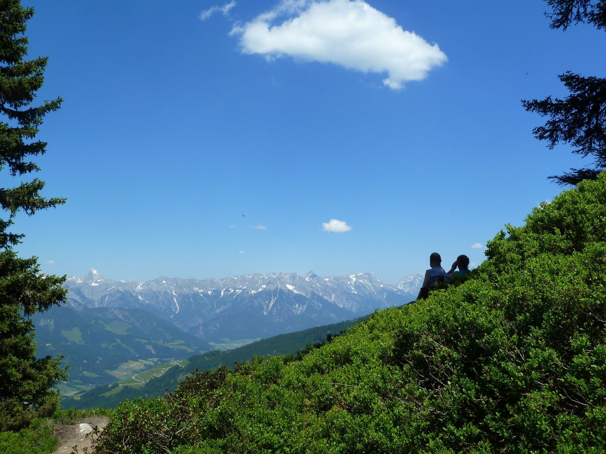
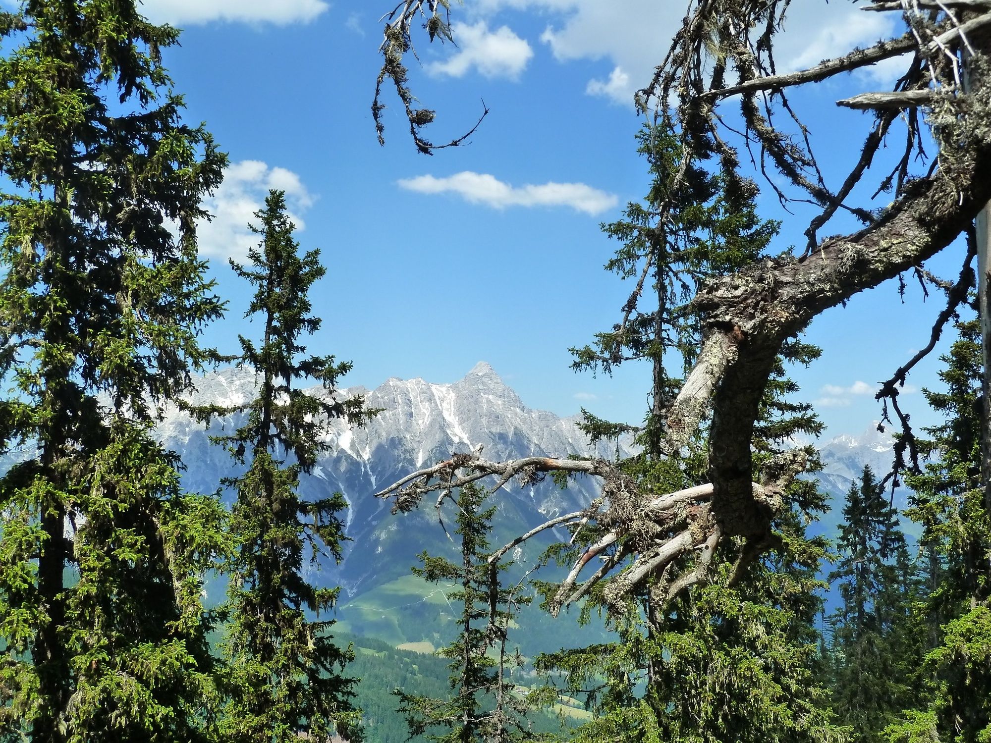
The amazing panoramic views include the Hohen Tauern mountain range with the Glockner and Venediger in the south and the limestone Alps including the Steinernes Meer, Watzmann, Hochkönig, as well as the Loferer and Leoganger stone mountains in the north.
- Directions
-
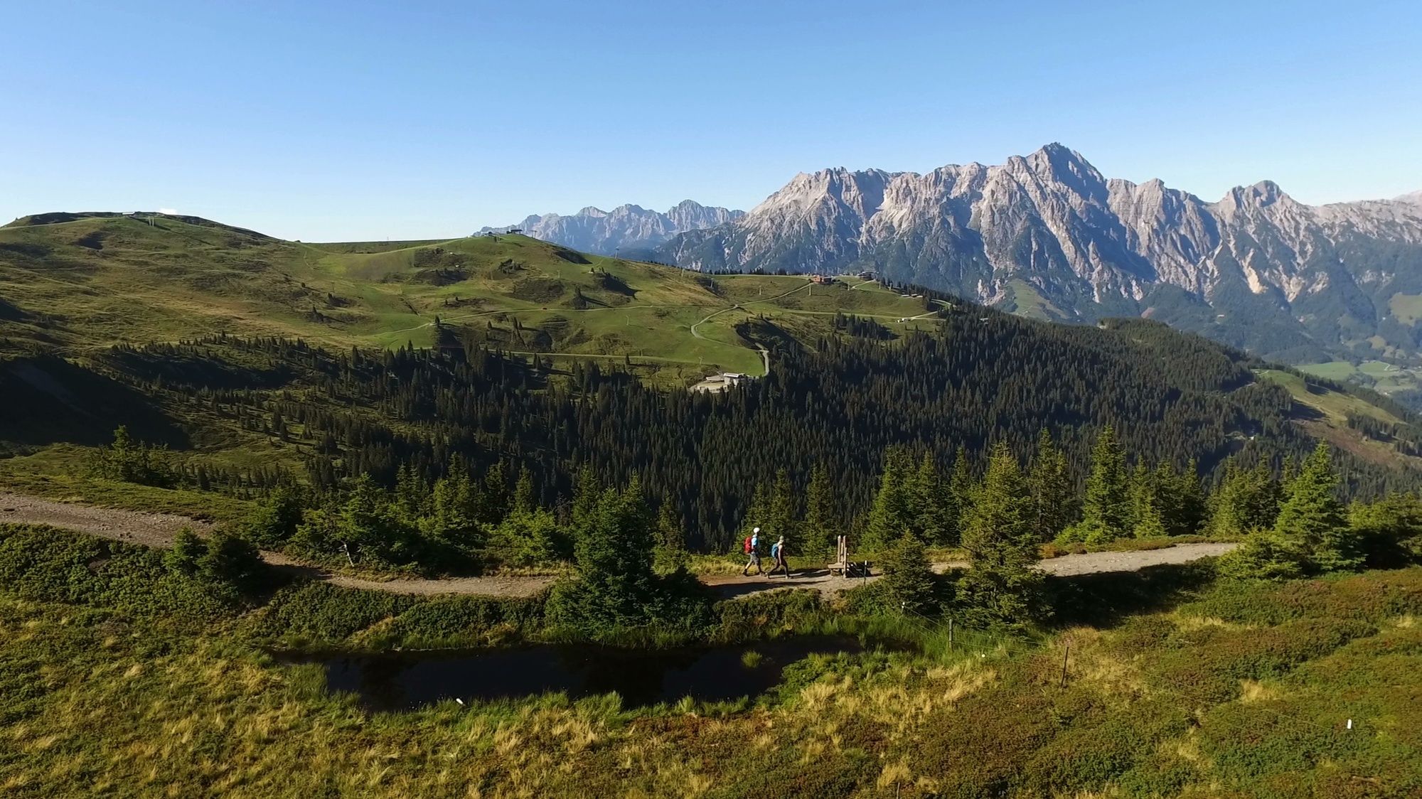
Once you have reached the top station of the Kohlmais, follow the slightly downhill trail to the Panorama 6er top station and follow the signposts into the forest and along the narrow path to the Grünen Böden Hütte.
After a short rest, continue uphill over the ridge to Wildenkarhütte.
Once you have past the beautiful reservoir, ascend to the Seidlalm. From here it is an approx. 15 minute walk along the forest trail to the Asitz.
On the Leoganger side, continue to the Geierkogel and the shelter hut of the same name.
Those wishing to ascend to Viehhofen should continue onto the "Sausteige" with magnificent views to the lake in Zell am See. Unfortunately, the Jahnhütte is closed and there are no other serviced huts on this route.
Therefore, there is an alternative route which takes you to Biberg.
Go past the shelter hut to the Berggasthof Biberg and Huggenberg, where you will reach the start of the summer toboggan run where you can take the chair lift back down to the valley.
- Highest point
- 1,907 m
- Endpoint
-
Viehhofen or Saalfelden
- Height profile
-

- Equipment
-
Sturdy hiking boots, waterproofs, sun cream
- Safety instructions
-
The three shelter huts were not just made for having a rest, but also for emergencies to shelter from lightening, hailstones and storms.
- Tips
-
For those that are fit and have ample time, a hike up to the Asitz summit is well worthwhile.
- Additional information
-
It is possible to return to Saalbach either by taxi or with the Post Bus.


- Author
-
The tour Saalachtaler Höhenweg is used by outdooractive.com provided.


General info
-
Saalfelden - Leogang
1814
-
Viehhofen
504