


- Brief description
-
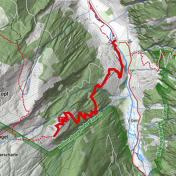
Hiking tour to the Modereggalm, which is near the Keeskogel - the highest mountain and the only glacier in Grossarltal.
- Difficulty
-
medium
- Rating
-
- Starting point
-
Parking lot Hüttschlag Talschluss
- Route
-
Hubertuskapelle0.0 kmTalwirt0.1 kmBauernladenstüberl0.1 kmPertillkapelle0.2 kmSee0.6 kmModereggalm3.4 kmSee6.1 kmPertillkapelle6.4 kmBauernladenstüberl6.4 kmTalwirt6.5 kmHubertuskapelle6.7 km
- Best season
-
JanFebMarAprMayJunJulAugSepOctNovDec
- Description
-
This hiking tour starts at the parking space at the inn Talwirt.
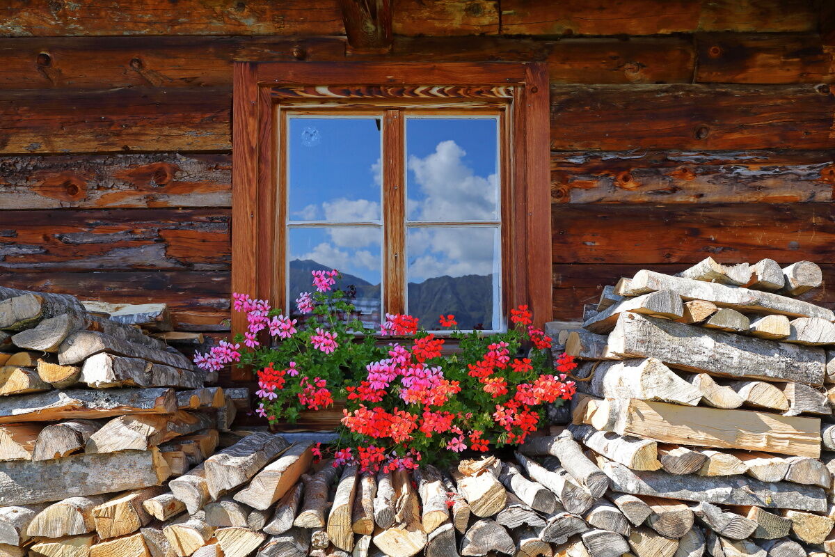
You pass the farm Pertillbauer. Then you hike through alpine meadows and then through the forest. In switchbacks, the trail leads quite steep to the Modereggalm. Just before you leave the forest, you will pass a small hut, which is closed.
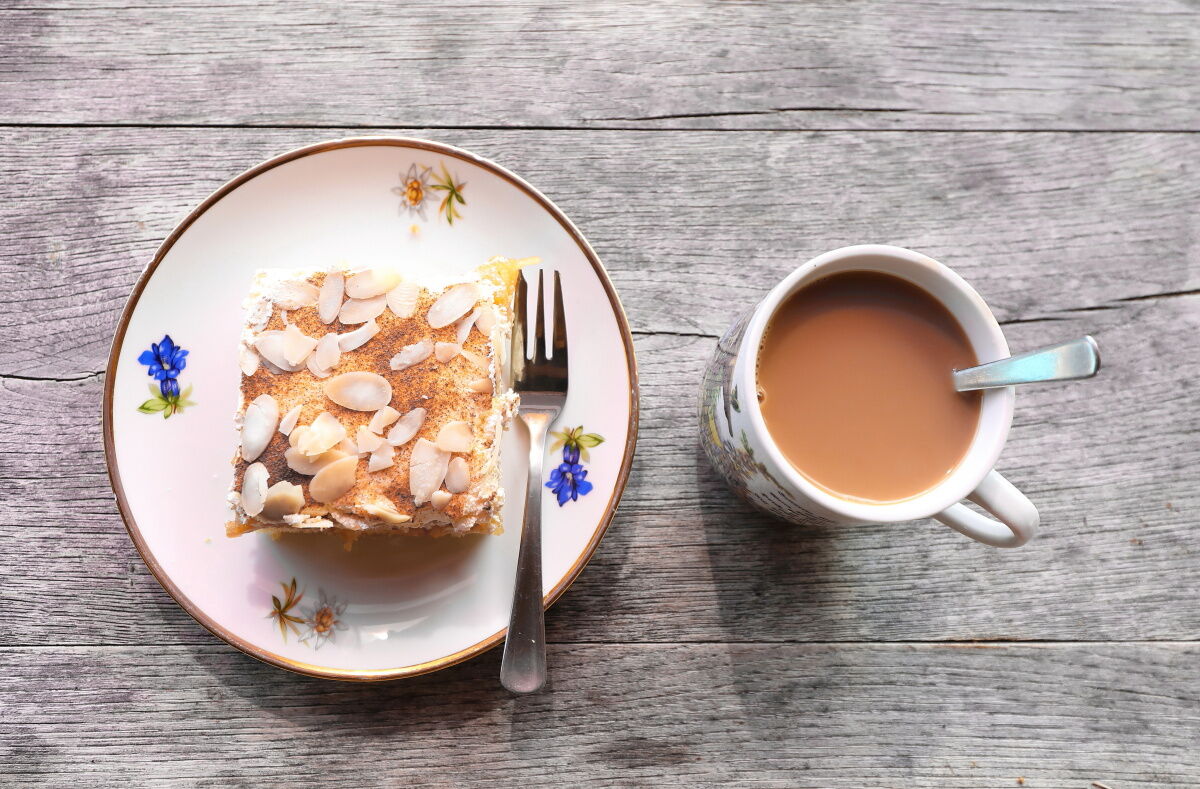
On the Modereggalm you have a unique view to the Keeskogel, the highest mountain and the only glacier in Grossarltal.After the steep ascent, everyone deserves a snack. On the Modereggalm you get delicious snacks with self-made specialties such as bread, butter, cheese, bacon or sausage.
- Directions
-
You go by car or public bus to Hüttschlag/Stockham - parking possibility at the inn Talwirt. You hike up the road until the Pertillbauer. Then you hike up on the way nr. 50 to the Modereggalm, 1.720 m (about 2 h). Back on the same way.
- Highest point
- 1,705 m
- Endpoint
-
Modereggalm
- Height profile
-

- Equipment
-
hiking boots with gripe sole, hiking map
- Tips
-
The view to the Keeskogel is impressive.
- Additional information
- Directions
- Public transportation
- Parking
-
parking possibility Hüttschlag valley head

- Author
-
The tour Hüttschlag: Modereggalm is used by outdooractive.com provided.


General info
-
Katschberg Lieser-Maltatal
2574
-
Großarltal
2171
-
Hüttschlag
852


