


- Brief description
-
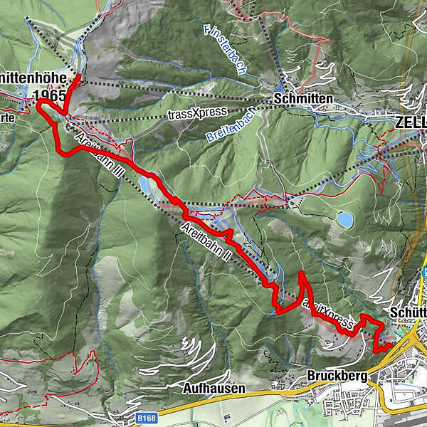
4-Lake-Hiking and further to Schüttdorf
- Difficulty
-
medium
- Rating
-
- Starting point
-
Valley station Schmittenhöhenbahn
- Route
-
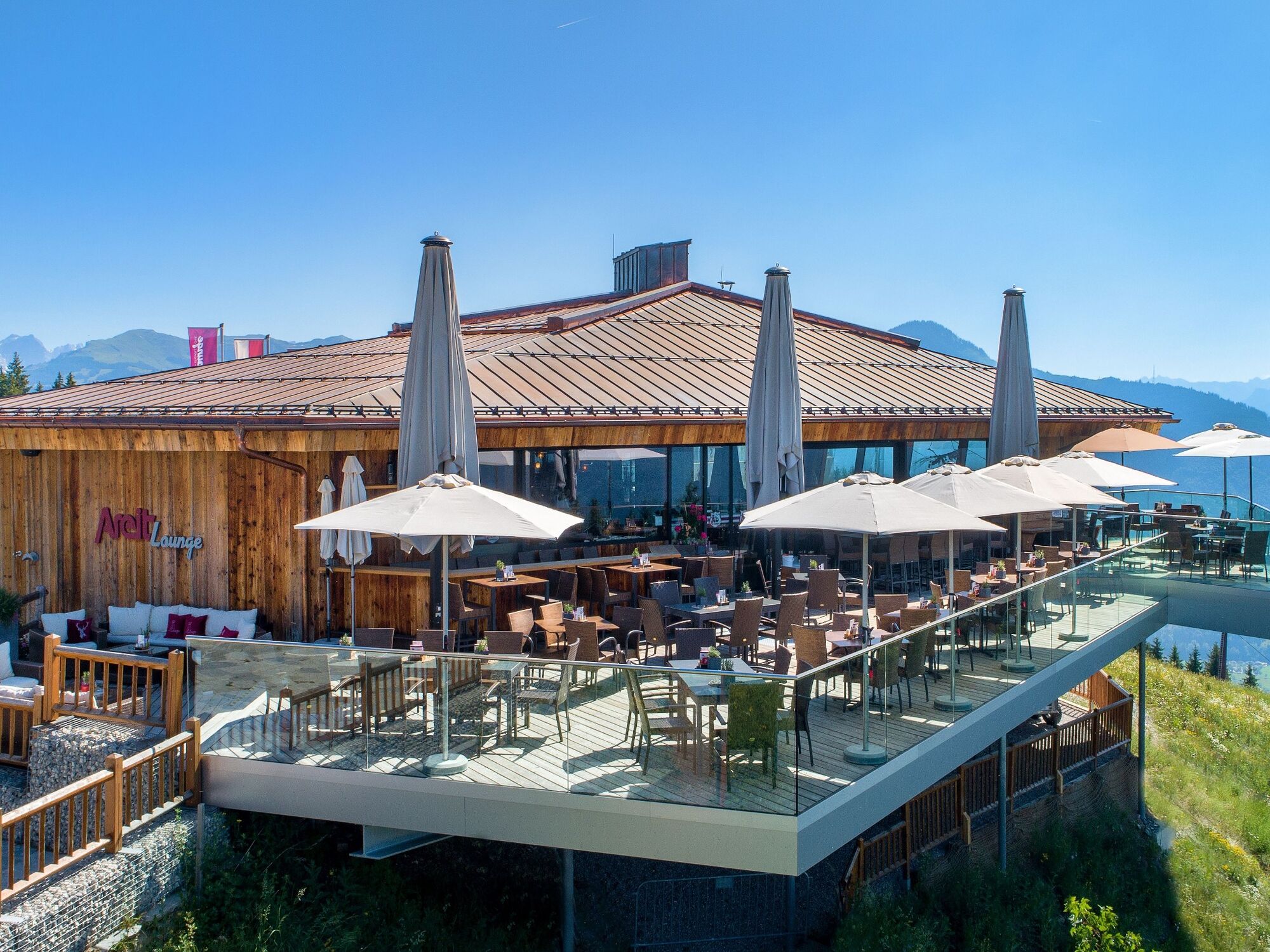
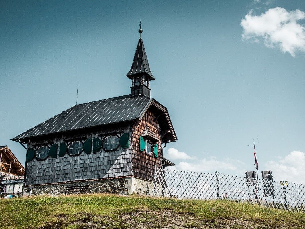
Schmittenhöhe (1,965 m)0.0 kmBerghotel Schmittenhöhe0.0 kmElisabeth-Kapelle0.1 kmGlocknerhaus3.7 kmAreit Lounge5.2 kmSchüttgut8.8 km
- Best season
-
JanFebMarAprMayJunJulAugSepOctNovDec
- Description
-
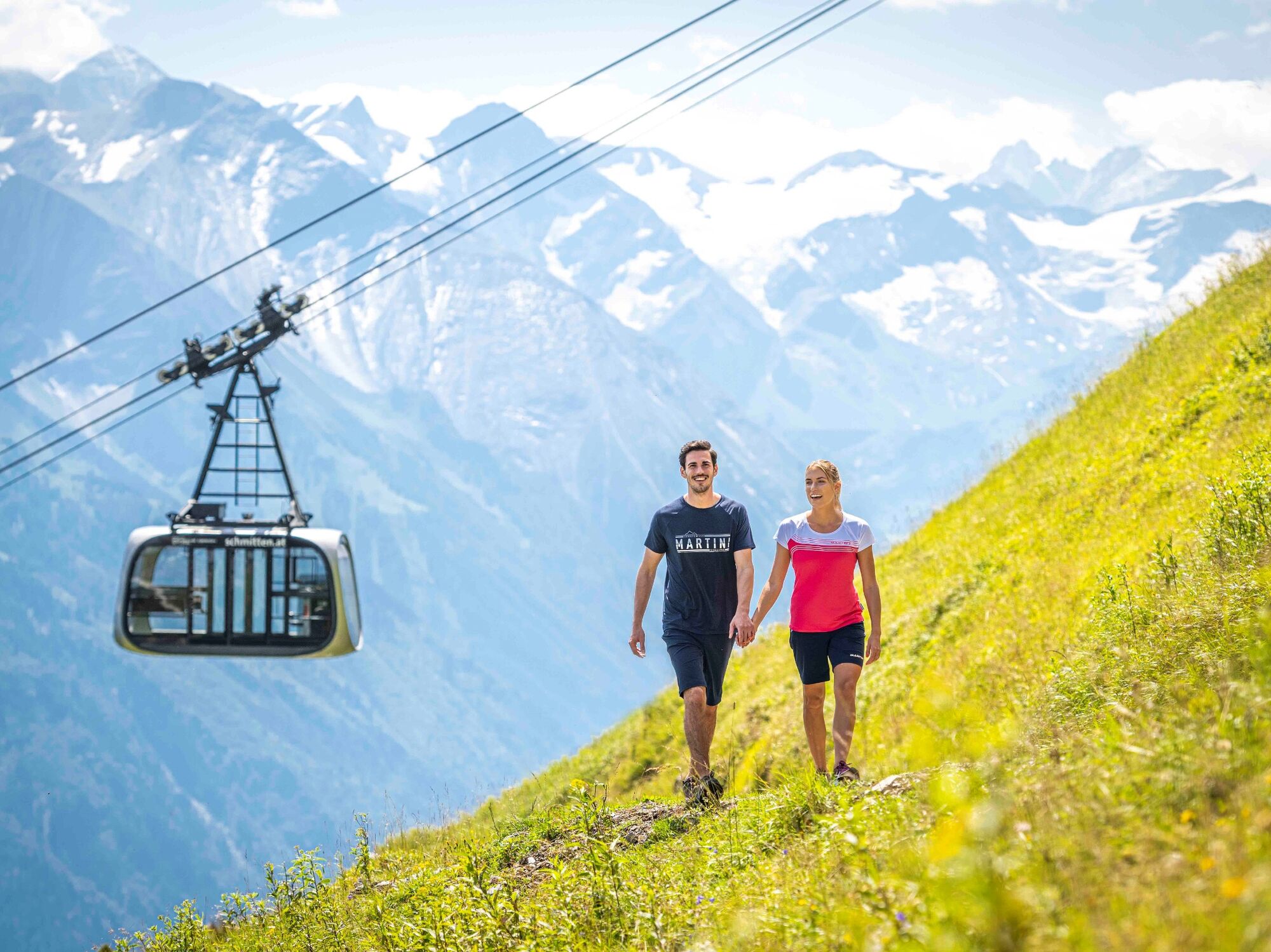
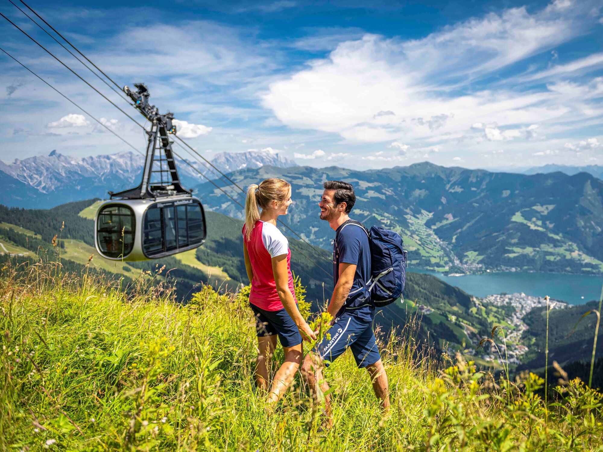
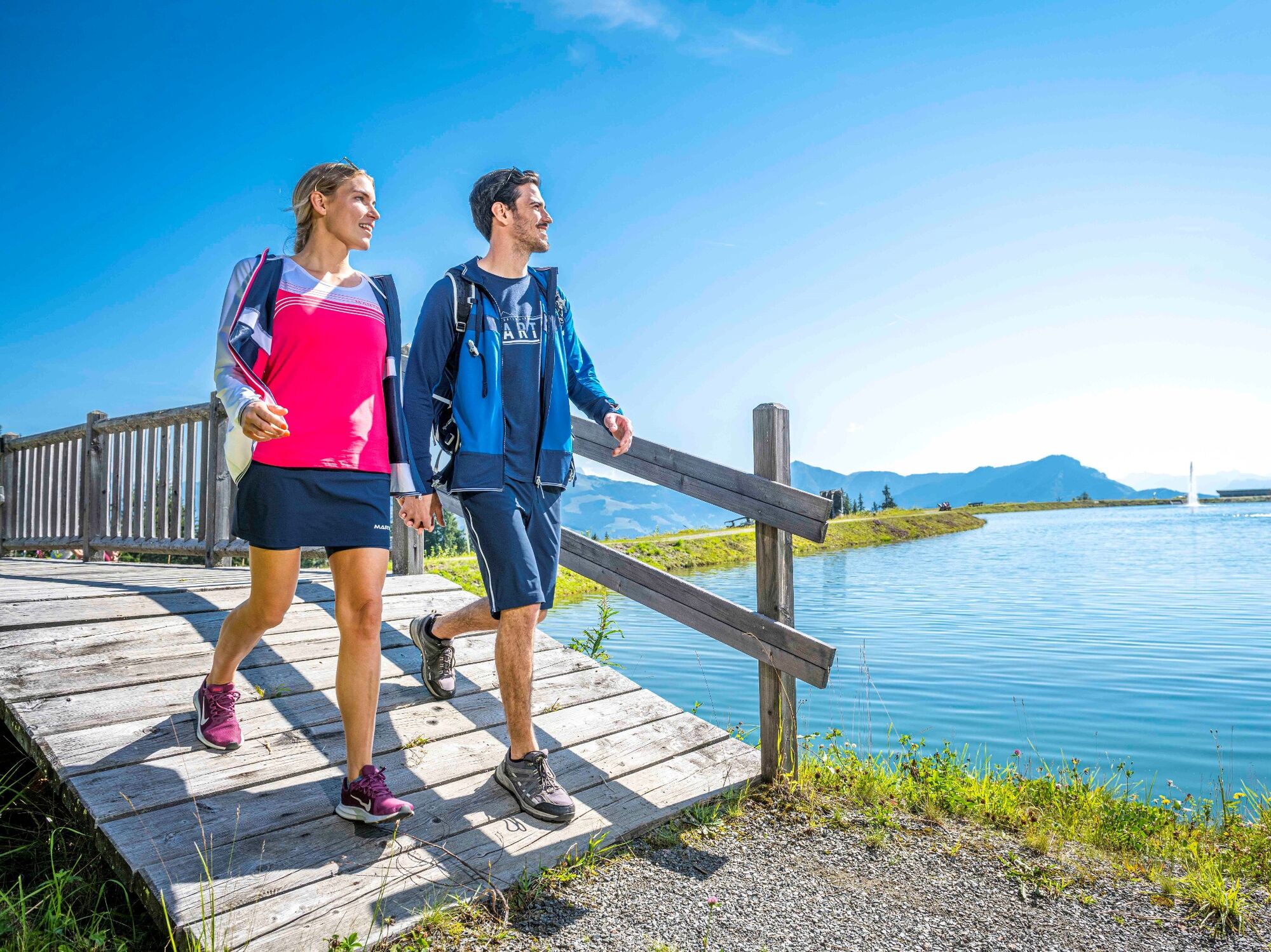
Ascent with the Schmittenhöhenbahn
From the summit Schmittenhöhe you can enjoy beautiful views on the surrounding mountains and the Sissi-Chapel.
Thereafter the walk goes down to Kettingalm .
At the end of the 1,5 km long hike you will reach the Schmittenhöhenweg and respectively the Areitweg which you follow back to the bottom station of areitXpress.
- Directions
-
Ascent with the Schmittenhöhenbahn - walking time reduction of 4h. From the summit Schmittenhöhe you can enjoy beautiful views on the surrounding mountains and the Sissi-Chapel. Here there would also be a great possibility for a rest at Schmitten Café or Berghotel Schmitten (descent possible with the Schmittenhöhenbahn). Thereafter the walk goes down to Kettingalm (path no. 719 - Pinzgauer Spaziergang). At the Kettingalm you cross a meadow and get to the info sign "Pfaffenkendelsteig" (No. 69; overnight-stays possible in the Pinzgauer Hütte). At the end of the 1,5 km long hike you will reach the Schmittenhöhenweg (No. 50) and respectively the Areitweg (No. 56A, 51) which you follow back to the valley.
- Highest point
- 1,952 m
- Endpoint
-
Talstation areitXpress
- Height profile
-

- Equipment
-
Protection against rain and sun
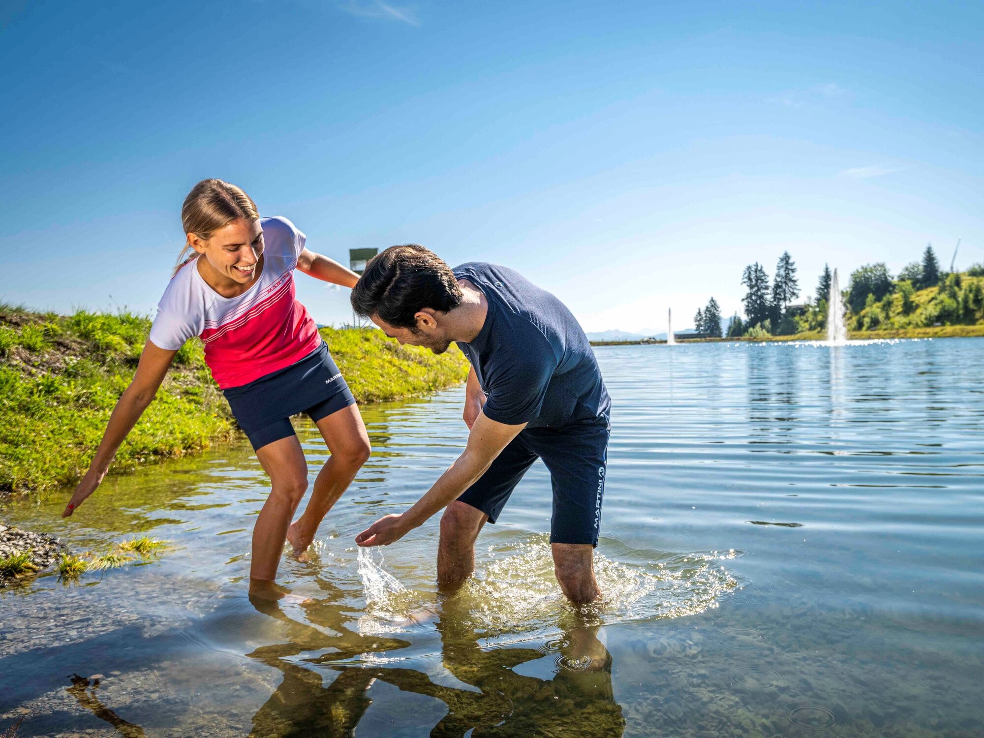
Water is of major importance
telescopic poles are an advantage
- Tips
-
Use with your guest card the free bus offer (also because the starting and end point is not the same.)
- Additional information
- Directions
-
From the Postplatz in Zell am See by bus to valley station Schmittenhöhe
- Public transportation
-
Bus 71


-

-
AuthorThe tour Mountain path - Variant Schmittenhöhe to Schüttdorf is used by outdooractive.com provided.
General info
-
Zell am See - Kaprun
1500
-
Schmittenhöhe
520


