

© Schmittenhöhebahn AG

© Schmittenhöhebahn AG

- Brief description
-
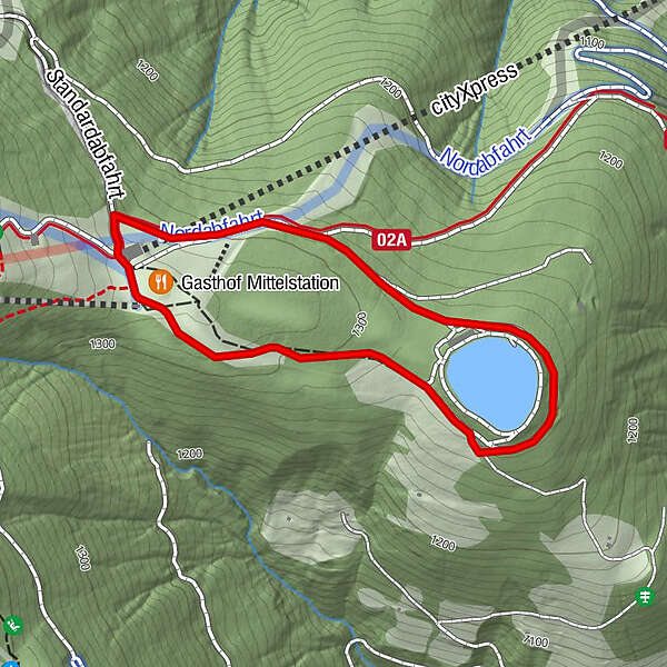
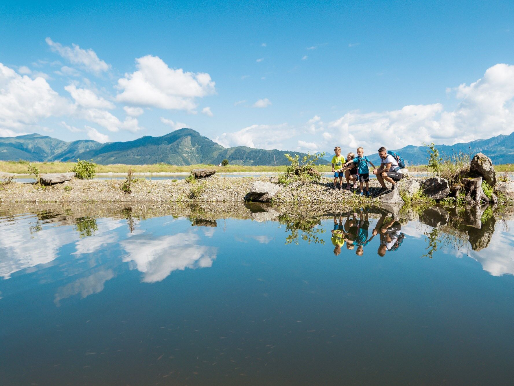
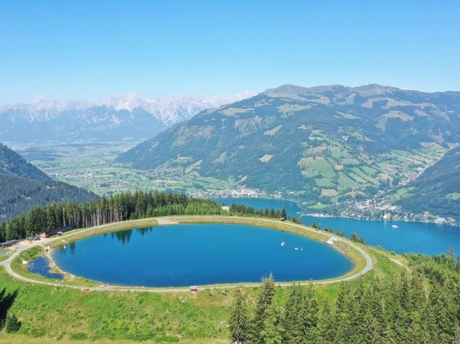
Very pleaseant walking around the reservoir with children´s playground.
- Difficulty
-
easy
- Rating
-
- Starting point
-
cityXpress mountain station
- Route
-
Gasthof Mittelstation0.1 km
- Best season
-
JanFebMarAprMayJunJulAugSepOctNovDec
- Description
-
Easy circular hiking trail with little difference in altitude. The easily accessible hiking trail leads around the reservoir pond to the Plettsau pond adventure playground. As well as playing and splashing around in the water, you can really laze around, relax, or simply enjoy the fantastic view here.
- Directions
-
From the cityXpress mountain station, yellow signs lead you to path no. 55.
- Highest point
- 1,324 m
- Endpoint
-
cityXpress mountain station
- Height profile
-

- Tips
-
Take swimwear or a change of clothes for children on hot summer days.
- Additional information
- Parking
-
Subterranean Garage Zell am See Center
-

-
AuthorThe tour circular path Plettsaukopf is used by outdooractive.com provided.
GPS Downloads


General info
Refreshment stop
Flora
Other tours in the regions
-
Zell am See - Kaprun
1504
-
Schmittenhöhe
522


