© Saalbach Hinterglemm - TVB Saalbach Hinterglemm

© Saalbach Hinterglemm - Hans Eder

© Saalbach Hinterglemm - Hans Eder

© Saalbach Hinterglemm - Hans Eder

© Saalbach Hinterglemm - Hans Eder

© Saalbach Hinterglemm - TVB Saalbach Hinterglemm

© Saalbach Hinterglemm - TVB Saalbach Hinterglemm
- Brief description
-
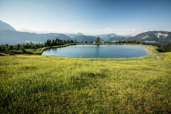
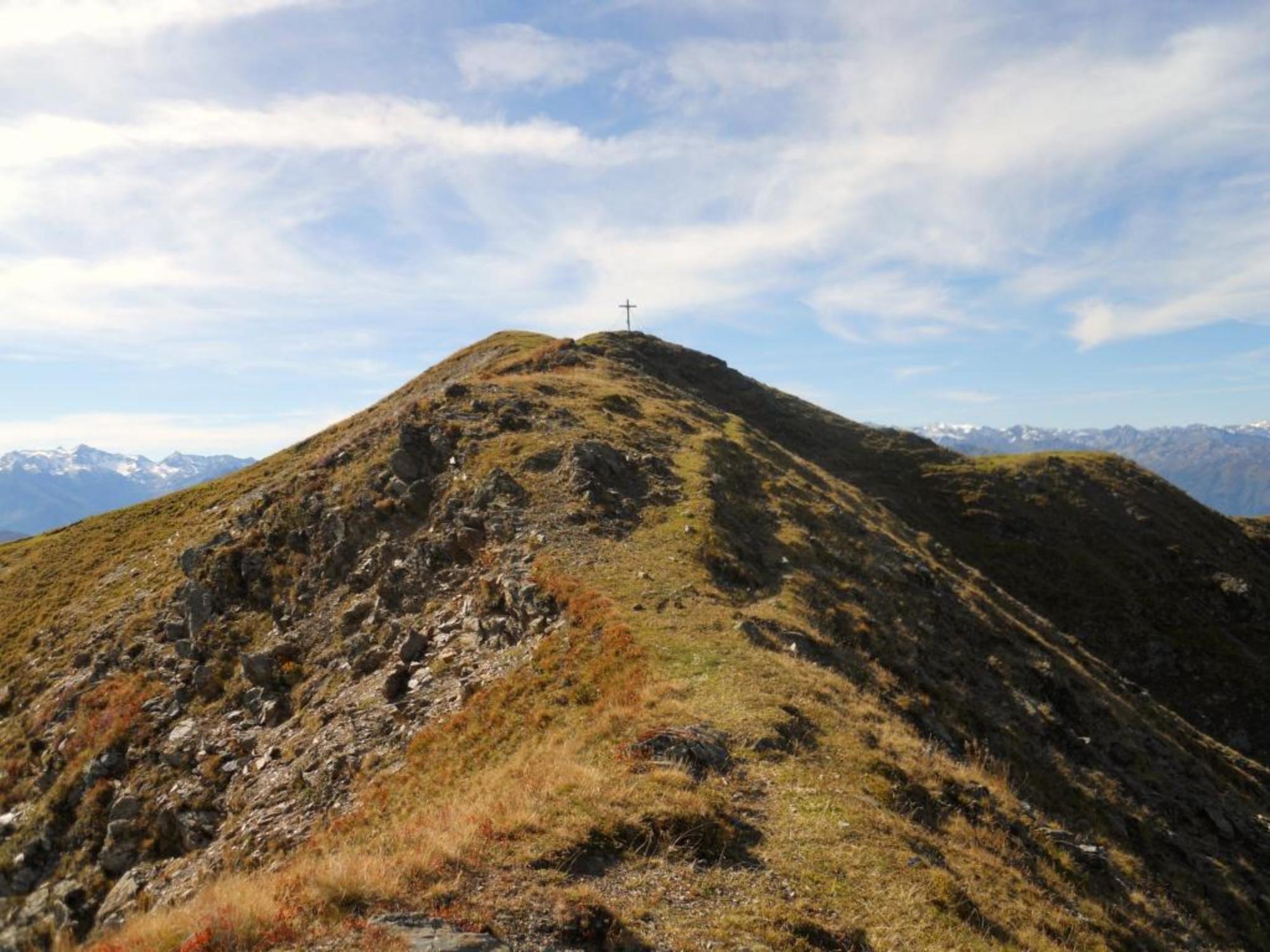
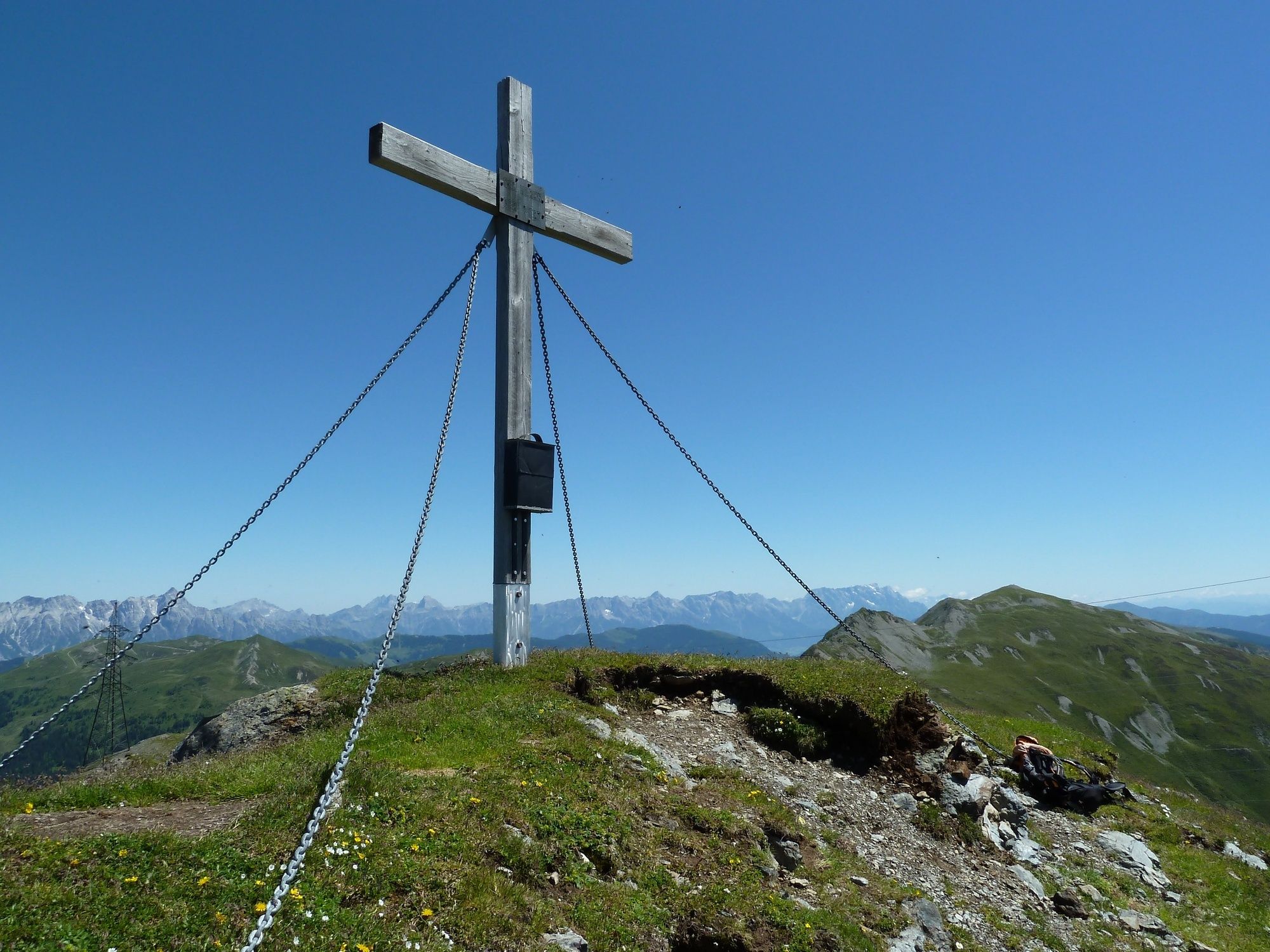
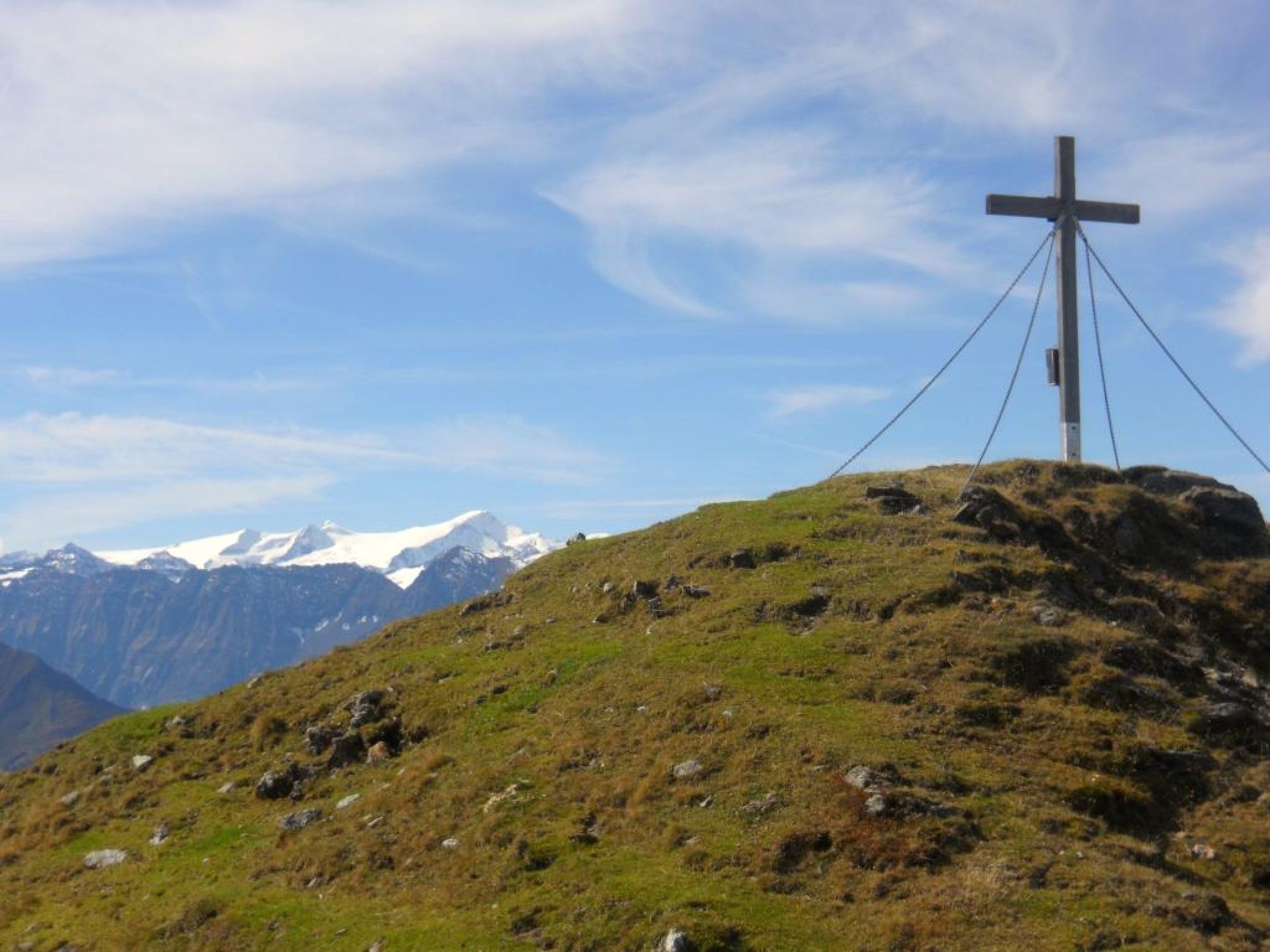
Solitary peak offering fantastic views.
- Difficulty
-
difficult
- Rating
-
- Starting point
-
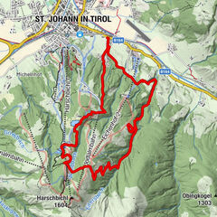
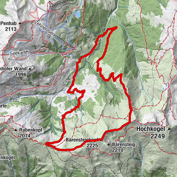
Barrier across the Huberalm on the Schwarzacherweg Hinterglemm
- Route
-
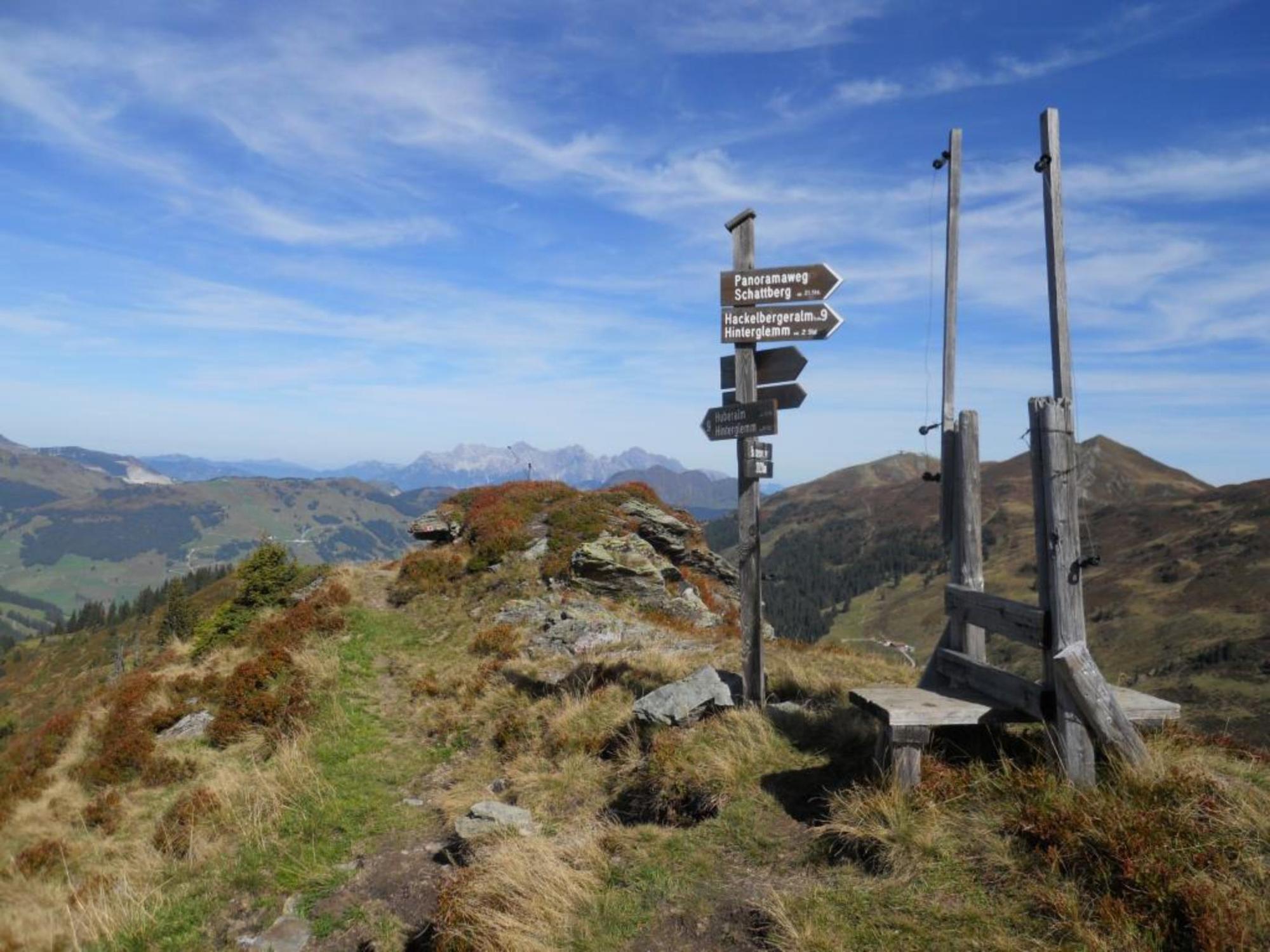
Sonnberg (2,187 m)5.7 kmBärensteigkopf (2,225 m)6.0 kmLamperbichlkogel (2,036 m)7.2 kmSommertörl (1,939 m)7.8 kmVogelhof Hochalm9.4 kmBerger Grundalm10.5 kmVogelhof Grundalm10.8 km
- Best season
-
JanFebMarAprMayJunJulAugSepOctNovDec
- Description
-
Peaceful mountain hike.
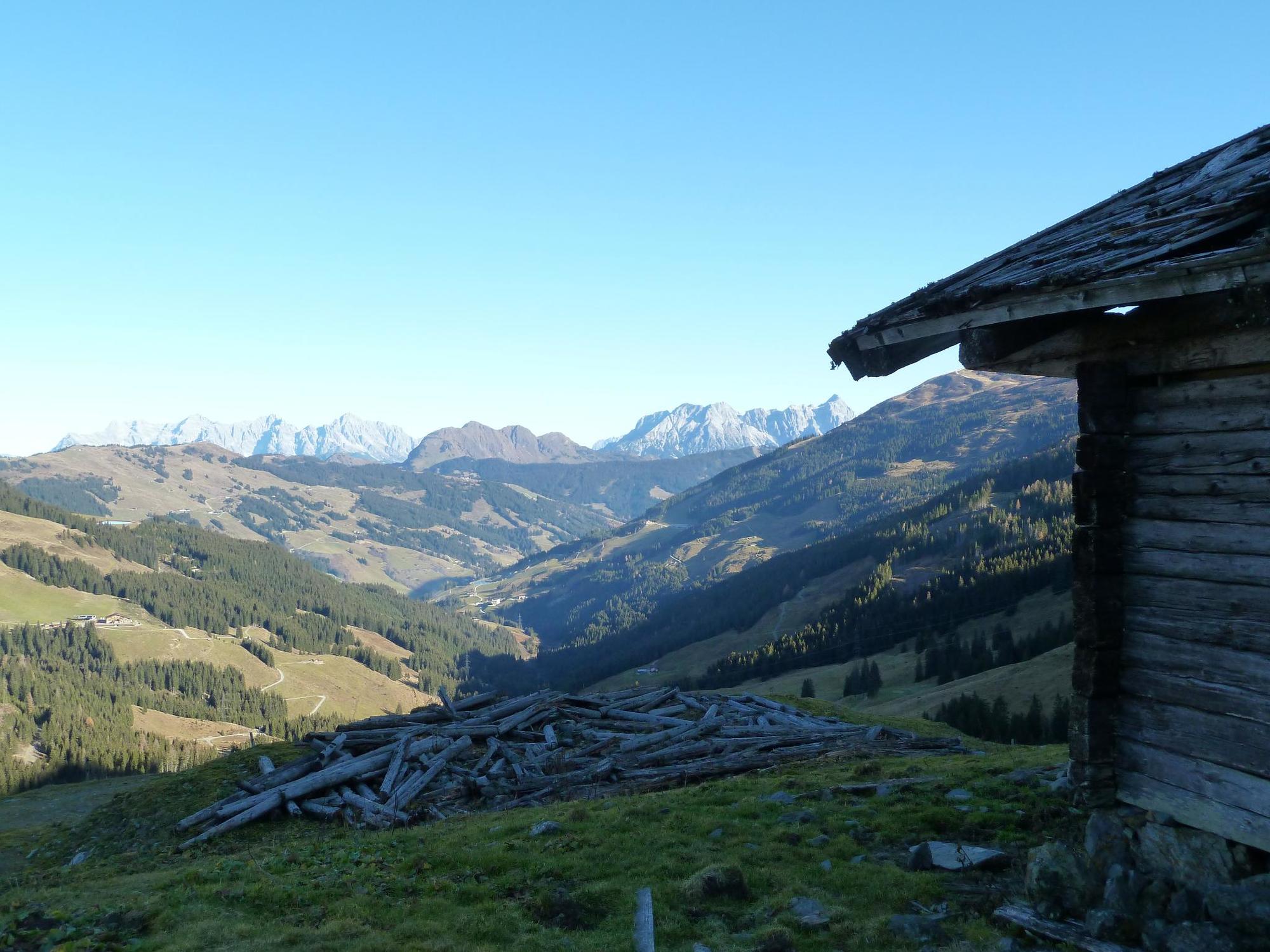
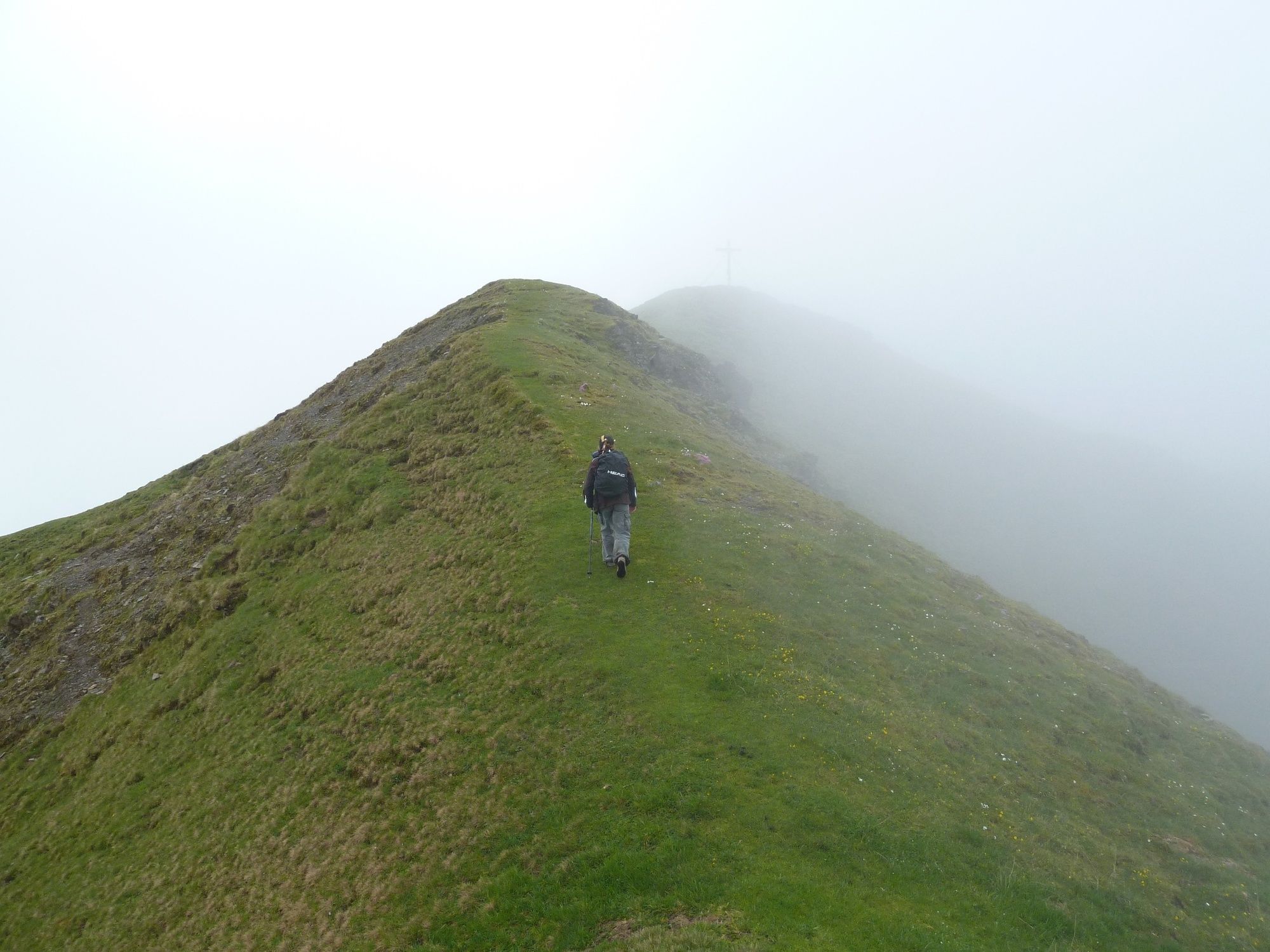
From the Huberalm, the path continues upwards, partly through the forest followed by a ridge with views to the Salzachtal and the Hohen Tauern mountain range.
The descent takes you over alpine pastures with old mountain huts (not serviced).
- Directions
-
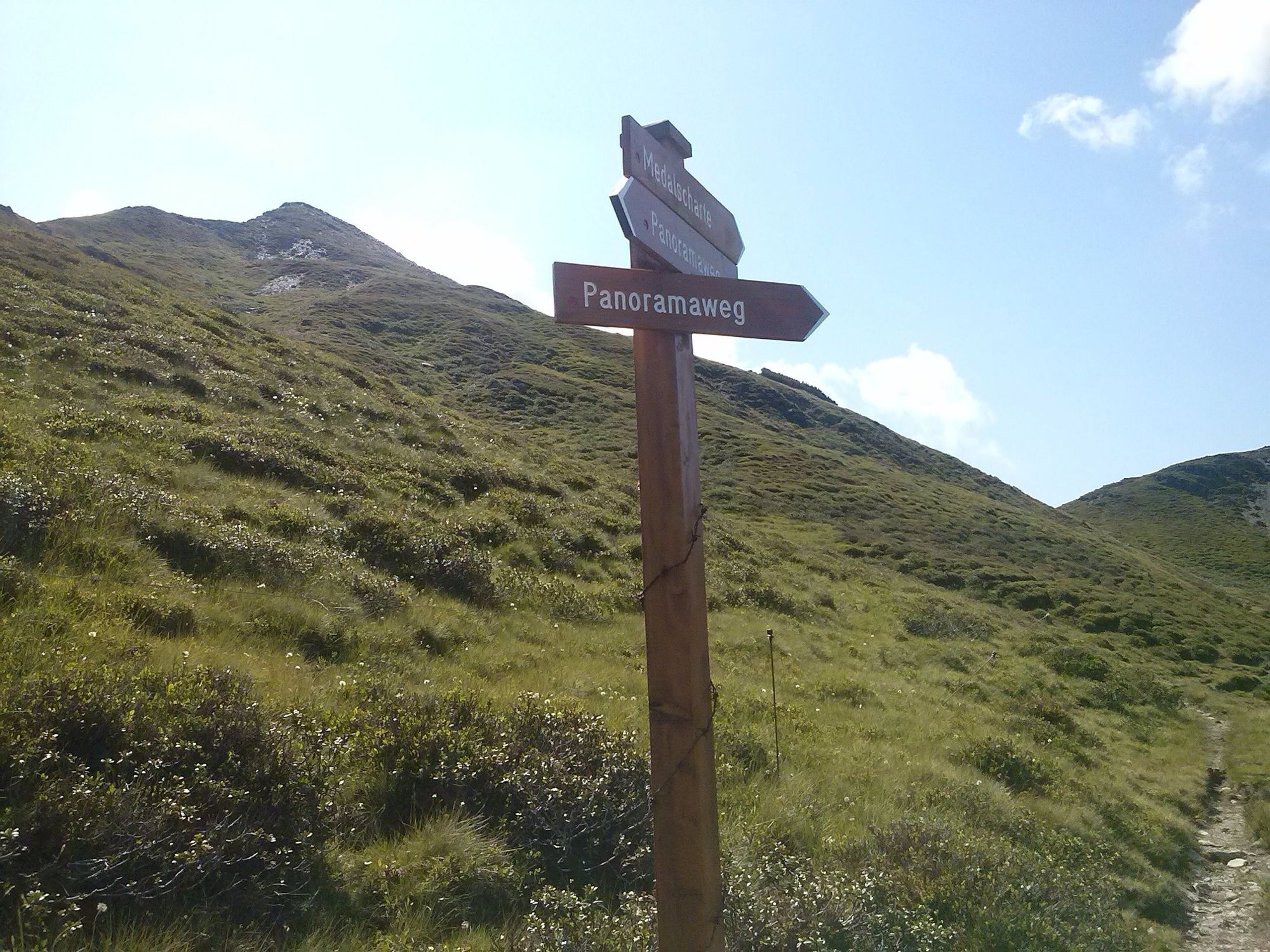
Take the forest path to the Huberalm, where just behind the path continues to a mountain ridge where you can join the Panoramaweg. From here contineu to the Medalscharte and the Bärensteigkogel.
To descend, go on to the Lämmperbichel, Sommertor and the Voglhof Hoch-und Grundalm back to the starting point.
- Highest point
- 2,213 m
- Endpoint
-
Barrier across the Huberalm on the Schwarzacherweg Hinterglemm
- Height profile
-

- Equipment
-
Sturdy hiking boots, waterproofs, sun cream.
- Safety instructions
-
After the Huberalm there no other huts offering refreshments.
- Directions
-
From Maishofen approx. 18 km along the L111 to Hinterglemm. Go through the tunne and when you exit the tunnel turn left towards the centre of Hinterglemm and take the first turning right onto the ‚Schwarzacherweg‘.
Continue along the Schwarzacherweg to the barrier at the Huberalm on the Güterweg.
- Public transportation
-
Post Bus - daily from 07.00 - 19.00 hours.
http://www.postbus.at/de/Fahrplanauskunft/index.jsp
- Parking
-
Parking available next to the barrier at the Huberalm.
- Author
-
The tour Bärensteigkogel is used by outdooractive.com provided.
GPS Downloads


General info
Insider tip
A lot of view
Other tours in the regions
-
Saalbach Hinterglemm
1588
-
Uttendorf - Weissee
367