


© Saalbach Hinterglemm - Best Mountain Artists
© Saalbach Hinterglemm - TVB Saalbach HInterglemm
© Saalbach Hinterglemm - TVB Saalbach Hinterglemm
© Saalbach Hinterglemm - TVB Saalbach Hinterglemm

© Saalbach Hinterglemm - Best Mountain Artists

© Saalbach Hinterglemm - Best Mountain Artists

© Saalbach Hinterglemm - Markus Landauer
- Brief description
-
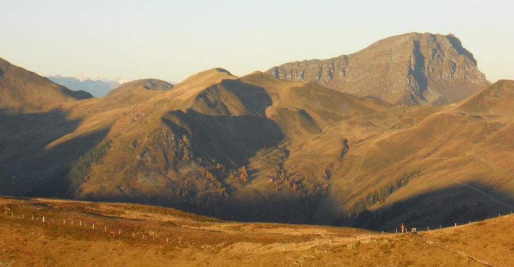
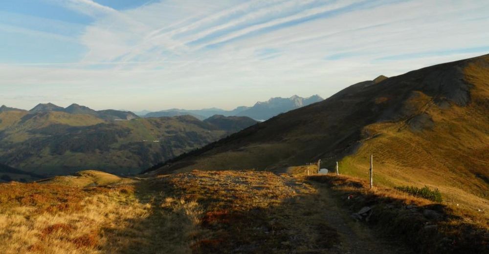
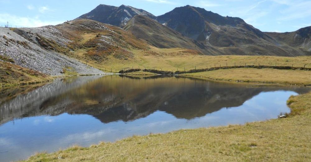
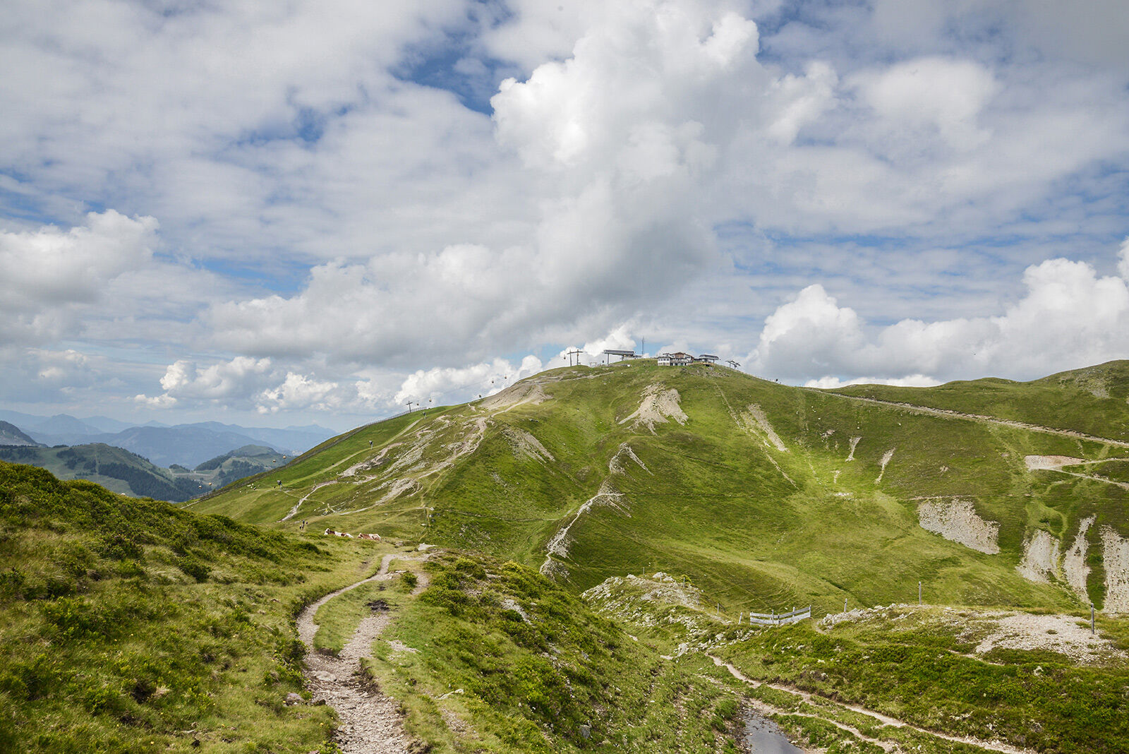
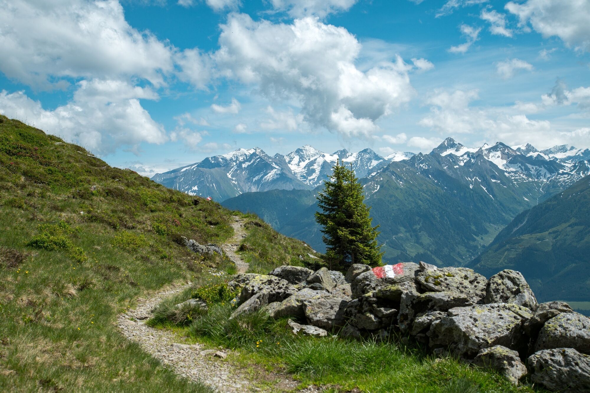
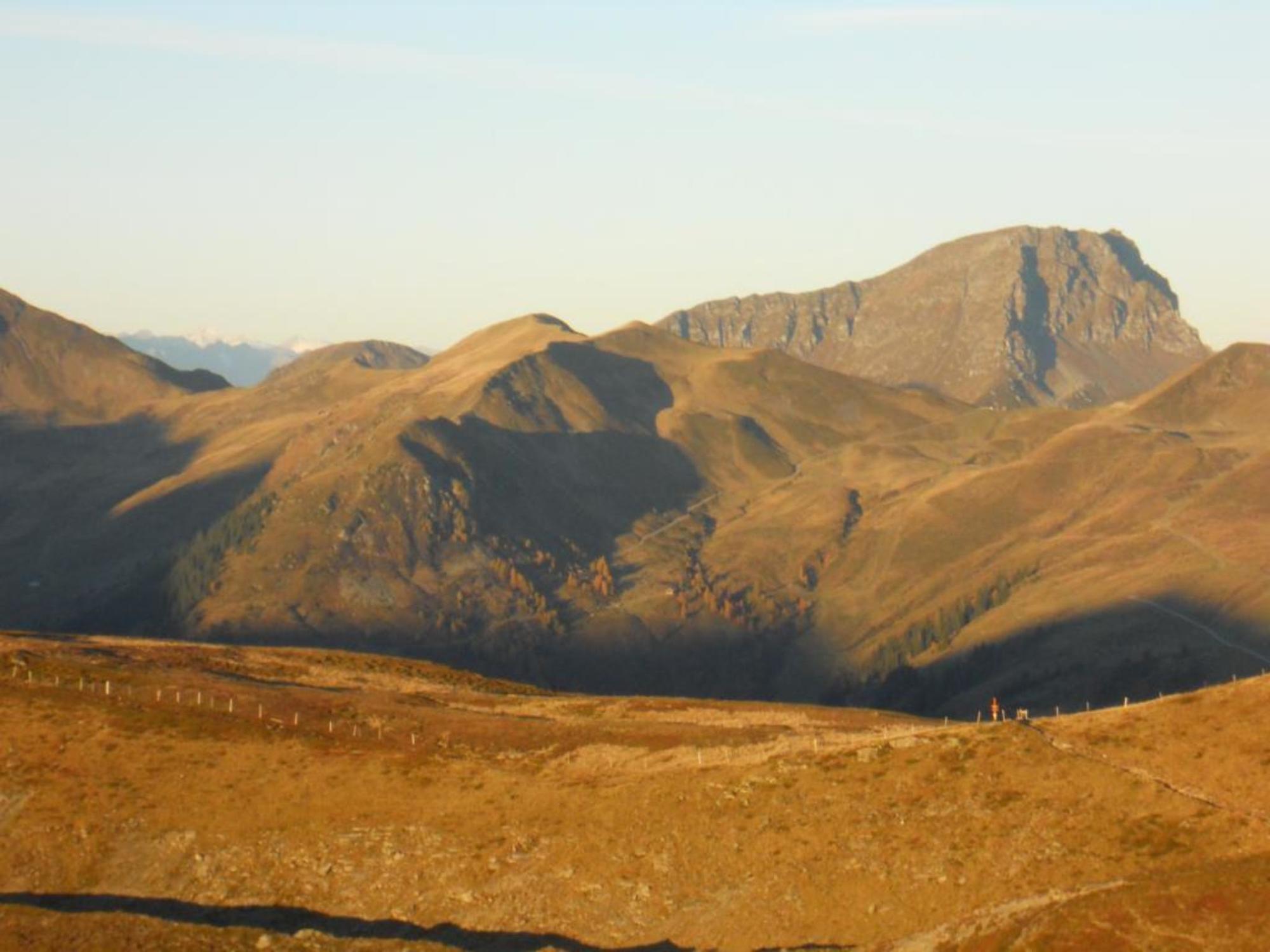
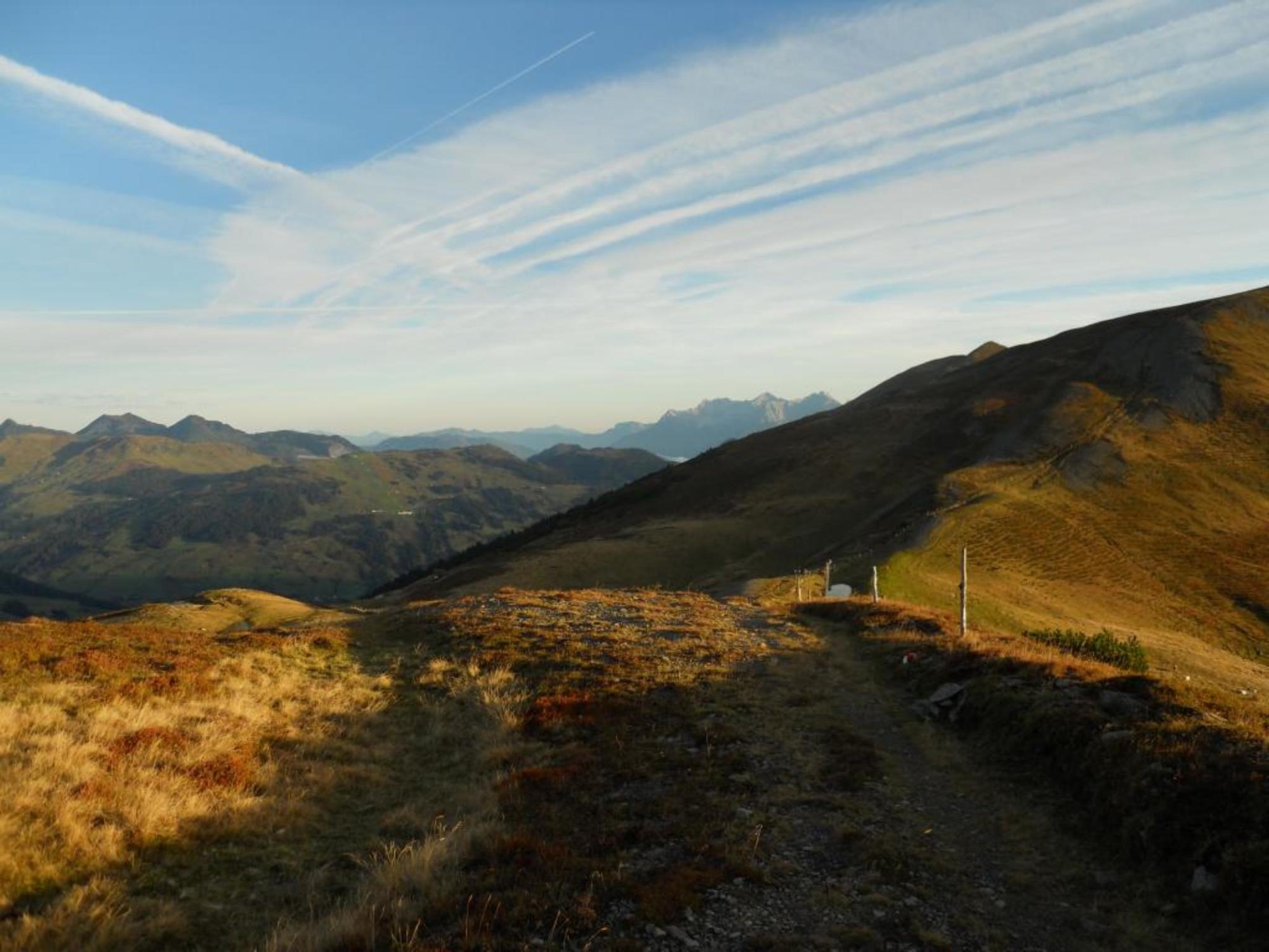
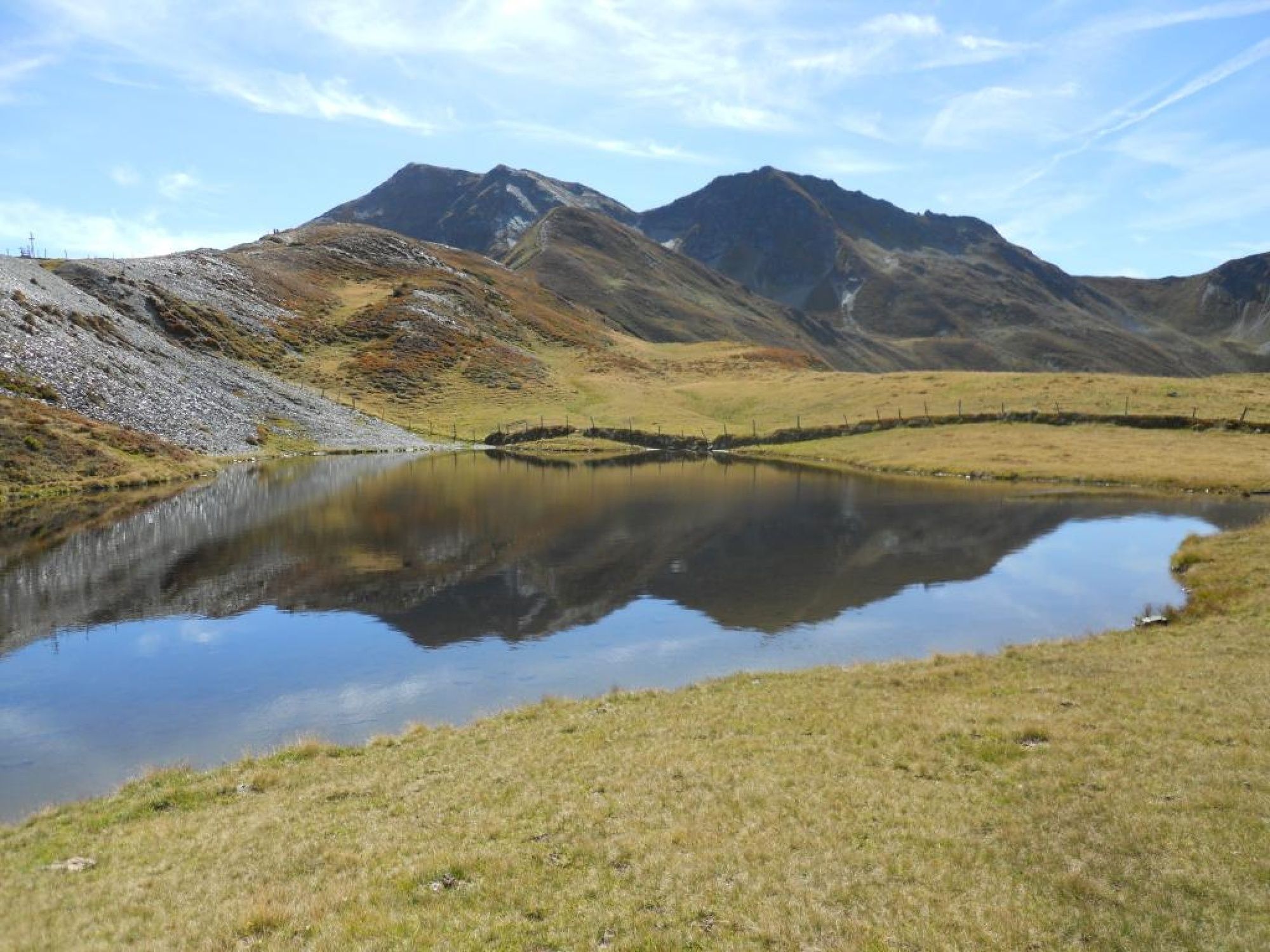
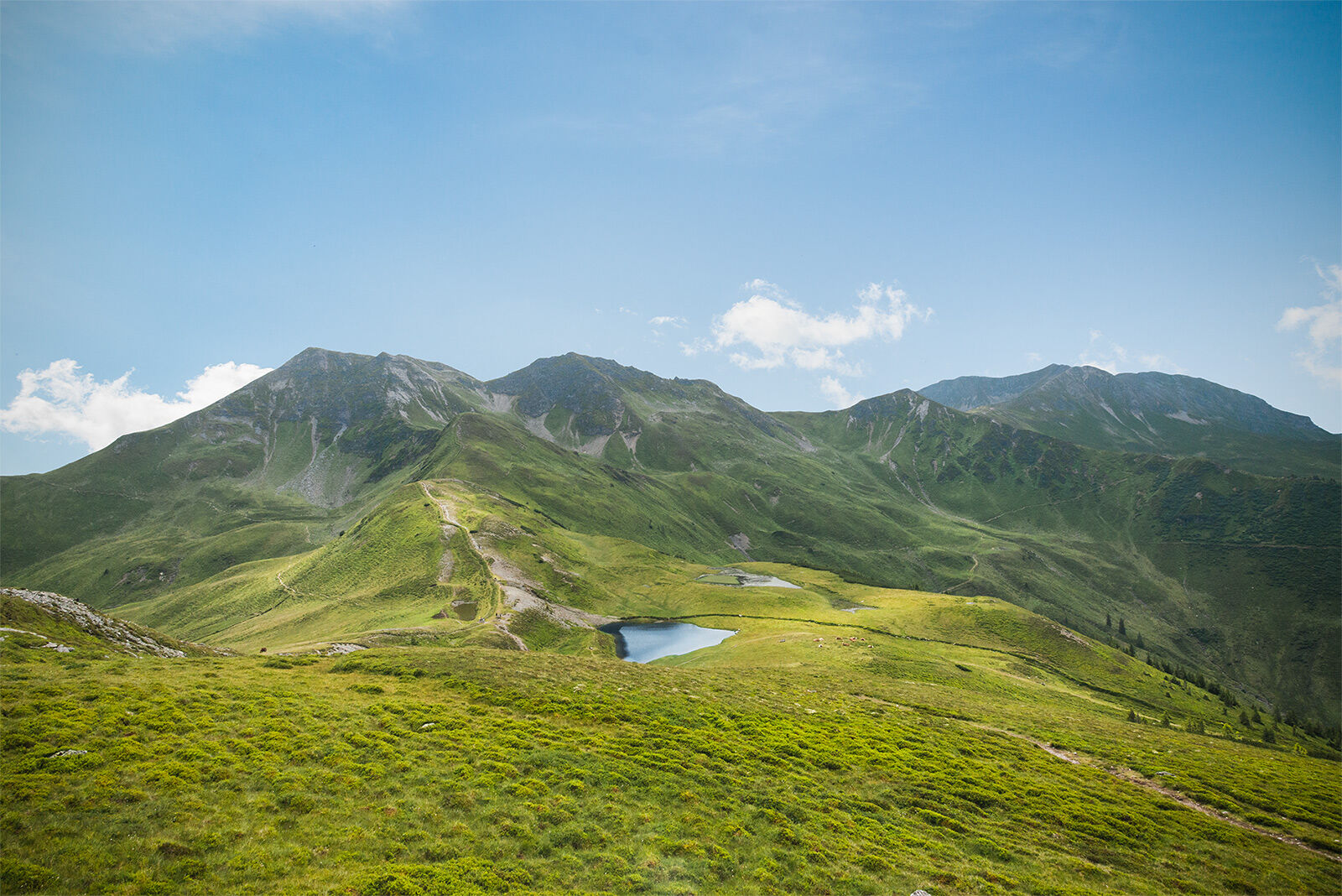
Heavenly panoramic hike
(Good level of fitness required)
- Difficulty
-
medium
- Rating
-
- Starting point
-
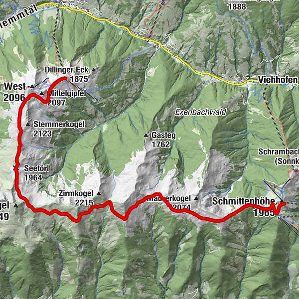
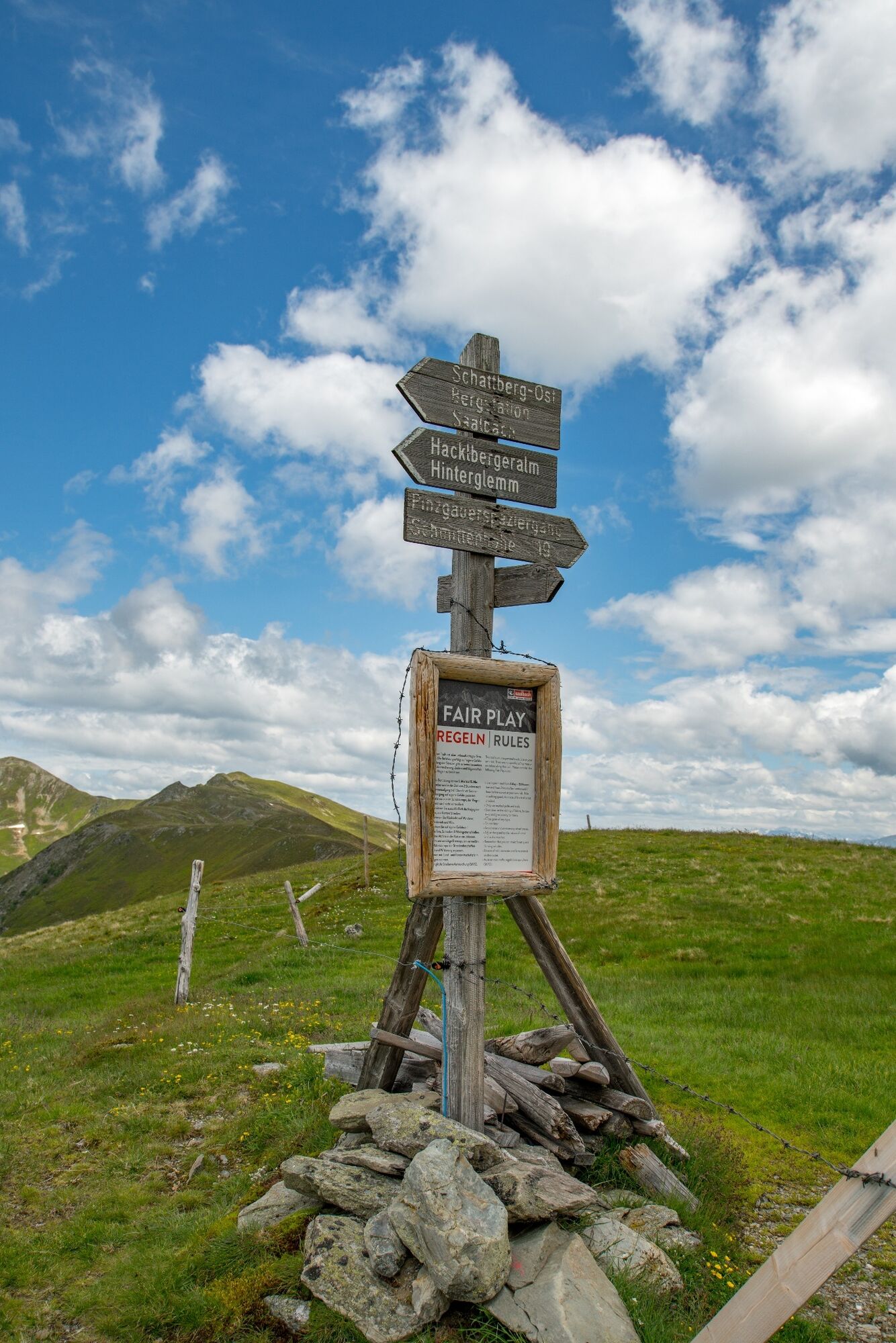
Schattberg X-press Top Station - Saalbach
- Route
-
SkyRest0.1 kmSeetörl (1,964 m)4.5 kmKlinglertörl (2,059 m)5.8 kmKlammscharte (1,993 m)9.3 kmRohrertörl (1,919 m)11.8 kmKesselscharte (1,847 m)14.5 kmKettingkopf (1,865 m)15.1 kmKettingtörl (1,780 m)15.8 kmEderhütte15.9 kmSchmittenhöhe (1,965 m)17.3 km
- Best season
-
JanFebMarAprMayJunJulAugSepOctNovDec
- Directions
-
From the top of the Schattberg Ostgipfel over the Marxtenscharte, Seetörl, Klinglertörl, Klammscharte and Rohrertörl to the Schmittenhöhe.
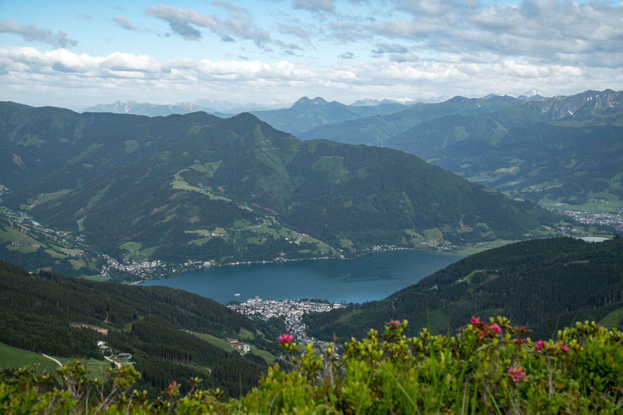
Descent with the Schmittenhöhe lift in Zell am See and Post Bus for return journey to Saalbach.
- Highest point
- 2,052 m
- Endpoint
-
Schmittenhöhe Top Station - Zell am See
- Height profile
-

- Equipment
-
Sturdy hiking boots, waterproofs, sun cream.
- Tips
-
Please make sure to take enough provisions (food and drink) as there are no serviced huts until you reach the Schmittenhöhe.
- Directions
-
From Maishofen approx. 14 km along the L111 to Saalbach (Schattberg X-press)
- Public transportation
-
Post Bus - daily from 09.00 - 19.00 hours
http://www.postbus.at/de/Fahrplanauskunft/index.jsp
- Parking
-
Parking (in and outdoor) at the Schattberg X-press
- Author
-
The tour Pinzgauer Spaziergang is used by outdooractive.com provided.
GPS Downloads


General info
A lot of view
Other tours in the regions


