© Saalbach Hinterglemm - TVB Saalbach Hinterglemm

© Saalbach Hinterglemm - Hans Eder
- Brief description
-
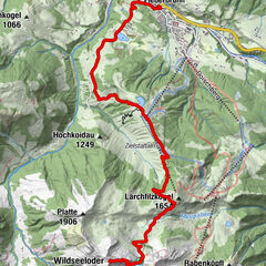
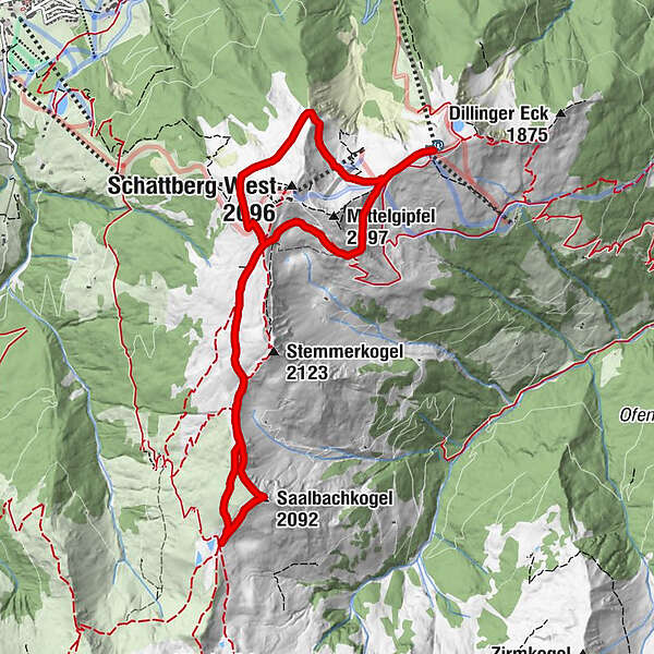
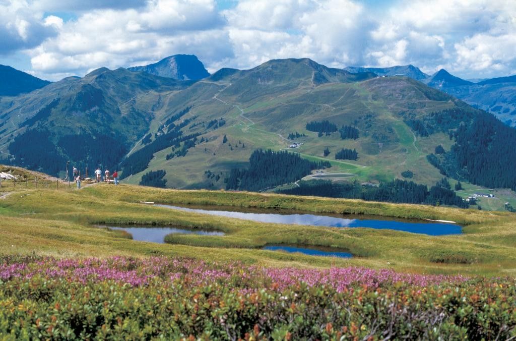
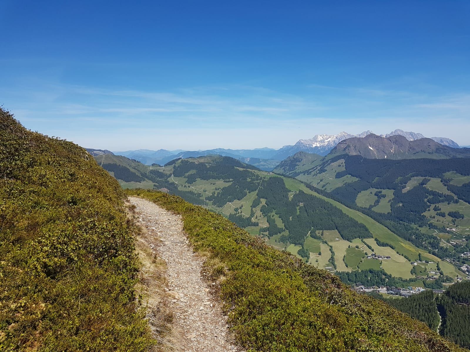
High circular route with wonderful views of the surrounding mountains and Glemm Valley
- Difficulty
-
medium
- Rating
-
- Starting point
-
Schattberg X-press Saalbach top station
- Route
-
SkyRest0.0 kmSaalbachkogel (2,092 m)4.2 kmSeetörl (1,964 m)4.7 kmSkyRest10.0 kmSchattberg-Ost (2,018 m)10.2 km
- Best season
-
JanFebMarAprMayJunJulAugSepOctNovDec
- Description
-
After the ascent with the Schattberg X-press follow the signpost. Besides a magnificent view of the surrounding mountains and the whole Glemm valley, one also has the chance to climb a beautiful mountain peak.
- Highest point
- 2,051 m
- Endpoint
-
Schattberg X-press Saalbach top station
- Height profile
-

- Directions
-
From Maishofen approx. 14 km along the L111 to Saalbach (Schattberg X-press)
- Public transportation
-
Postbus - daily from 07.00 - 19.00
http://www.postbus.at/de/Fahrplanauskunft/Fahrplandownload/index.jsp
- Parking
-
Parking (in- and outdoor) at the Schattberg X-press
-

-
AuthorThe tour Schattberg Höhenrundweg with Saalbachkogel is used by outdooractive.com provided.
GPS Downloads


General info
A lot of view
Other tours in the regions