Schmittenstein day round hike (No.74) Krispl-Gaissau, (stamp post, 24 points)


- Brief description
-
Ascent:
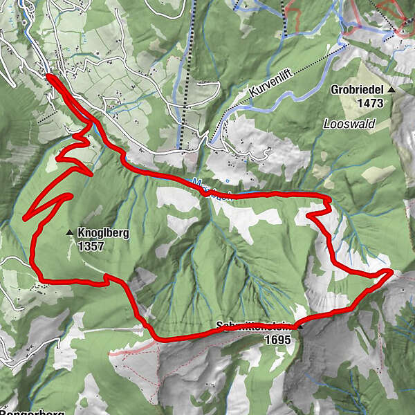
Gaissau village center-Mörtelbach-Zisterbergalmen-Sattelhöhe(from here ÖAV trail 840) - Schmittenstein - Schlenken.
Descent:
Jagernase-Formau- Knoglstrasse-Mörtelbach along - Gaissau village center
Hike also possible the other way round
- Difficulty
-
difficult
- Rating
-
- Route
-
GaißauFormau5.4 kmJägernase (1,507 m)6.9 kmSchlenken (1,648 m)7.4 kmSchmittenstein (1,695 m)9.1 kmSattel (1,287 m)10.5 kmletzte Quelle vor dem Schmittenstein10.9 kmZisterbergkapelle11.7 kmZisterbergalm11.8 kmGaißau16.7 km
- Best season
-
JanFebMarAprMayJunJulAugSepOctNovDec
- Description
-
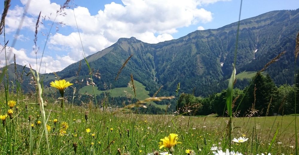
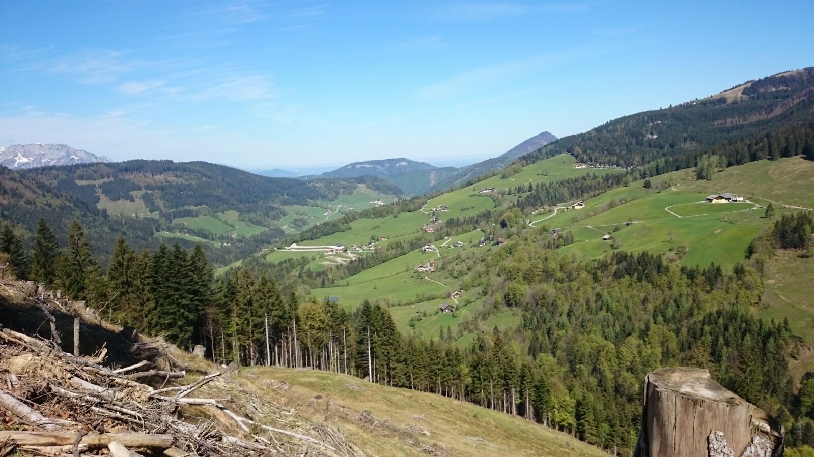
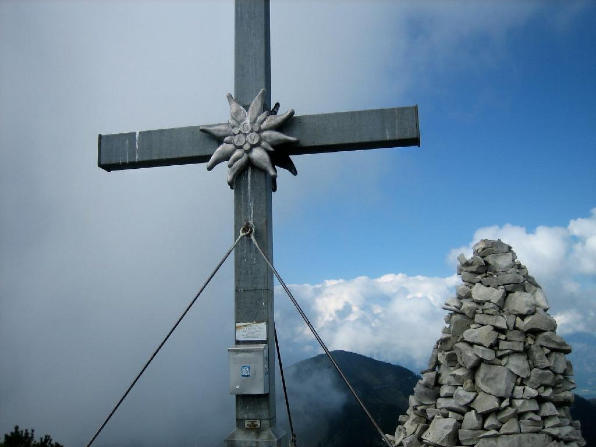
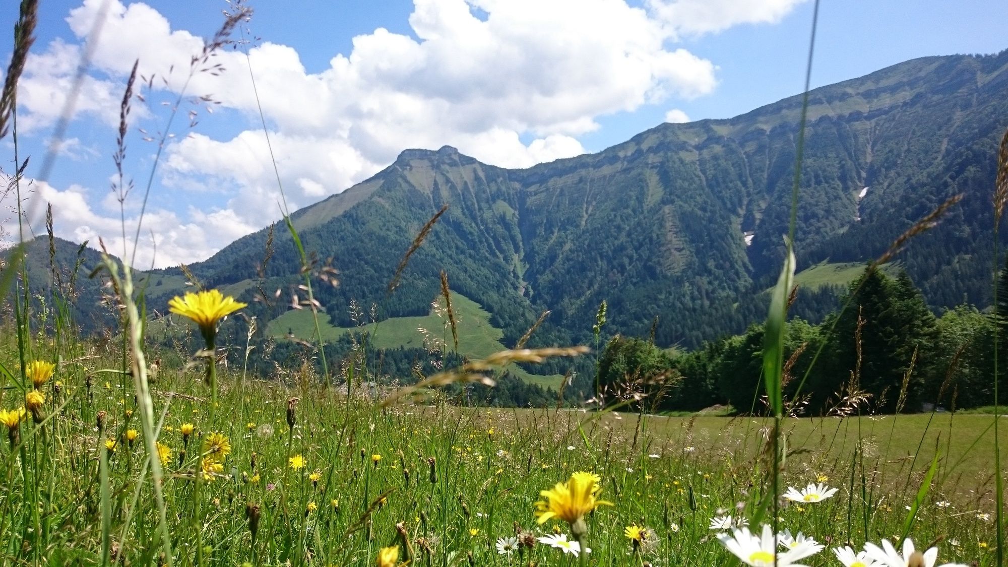
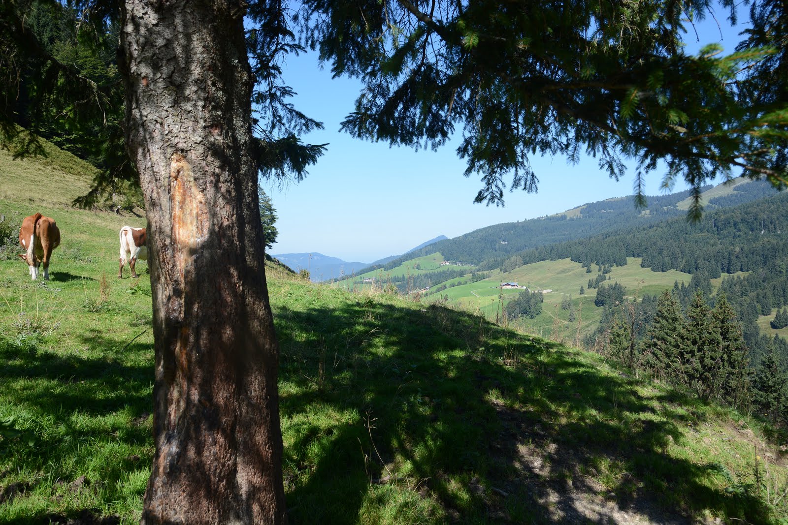
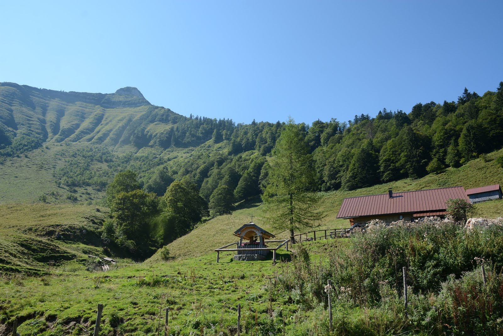
Either ascent along the Mötelbach via the Zisterbergalm to the saddle to the Schmittenstein(1696 m), the highest mountain of Krispl-Gaissau, with its steep slopes and gravel cirques. Continue to Schlenken a great vantage point (cornerstone of the Osterhorn group). View of the Salzach Valley, the Alpine foothills and the Berchtesgaden Limestone Alps, the Tennengebirge, Hochkönig and Dachstein.
Descent via the Schlenkenalm or via the Jagernase to Formau and via the bridle path to Gaißau.
Or ascent from Gaißau via the Knoglstraße to Formau and on to the Schlenken and then to the Schmittenstein. Descent via the saddle to the Zisterbergalm and along the Mörtelbach stream back to Gaißau.
- Directions
-
Either ascent along the Mötelbach via the Zisterbergalm to the saddle to the Schmittenstein(1696 m), the highest mountain of Krispl, with its steep slopes and gravel cirques. Continue to Schlenken a great vantage point (cornerstone of the Osterhorn group). View of the Salzach Valley, the Alpine foothills and the Berchtesgaden Limestone Alps, the Tennengebirge, Hochkönig and Dachstein.
Descent via the Schlenkenalm or via the Jagernase to Formau and via the bridle path to Gaißau.
Or ascent from Gaißau via the Knoglstraße to Formau and on to the Schlenken and then to the Schmittenstein. Descent via the saddle to the Zisterbergalm and along the Mörtelbach stream back to Gaißau.
- Highest point
- 1,687 m
- Endpoint
-
Gemeindezentrum Gaissau
- Height profile
-

- Equipment
-
Sturdy shoes, hiking poles, good physical condition, sun protection
- Safety instructions
-
You should be free from giddiness for this hike.
Attention. A small part is rocky and you have to climb a bit. But you are supported there by a fixed wire rope.
- Tips
-
Duration of the entire tour incl. break and enjoy the view about 7 hours.
- Author
-
The tour Schmittenstein day round hike (No.74) Krispl-Gaissau, (stamp post, 24 points) is used by outdooractive.com provided.