Krefelderhüttenweg / Alexander Enzinger Path - Variant Alpincenter to Kaprun Center

Hiking
© Zell am See-Kaprun Tourismus GmbH - Domenik Wartbichler

© Zell am See-Kaprun Tourismus GmbH - Domenik Wartbichler

© Zell am See-Kaprun Tourismus GmbH - Domenik Wartbichler

© Kitzsteinhorn


- Brief description
-
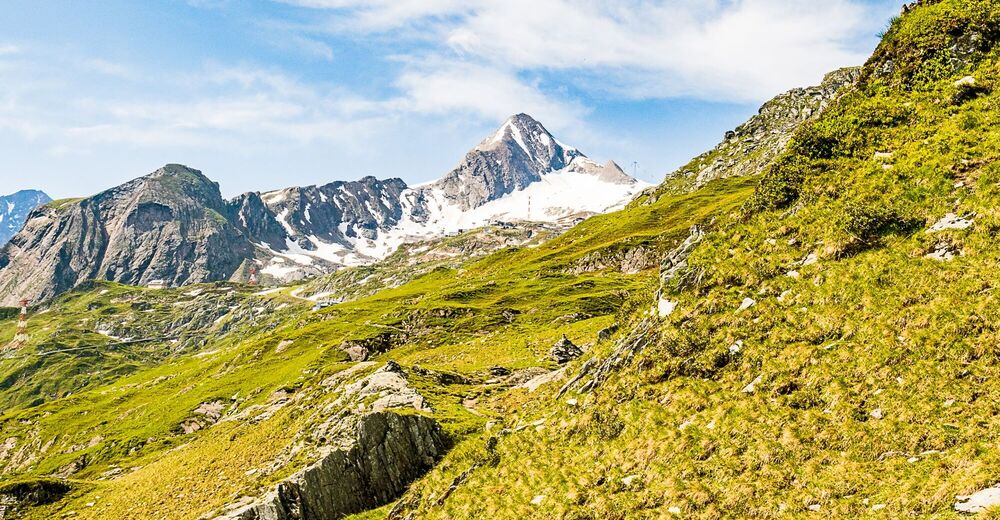
Challenging beautiful high trail with a variety of alpine flora from the Kitzsteinhorn tot he Maiskogel/Kaprun
- Difficulty
-
difficult
- Rating
-
- Starting point
-
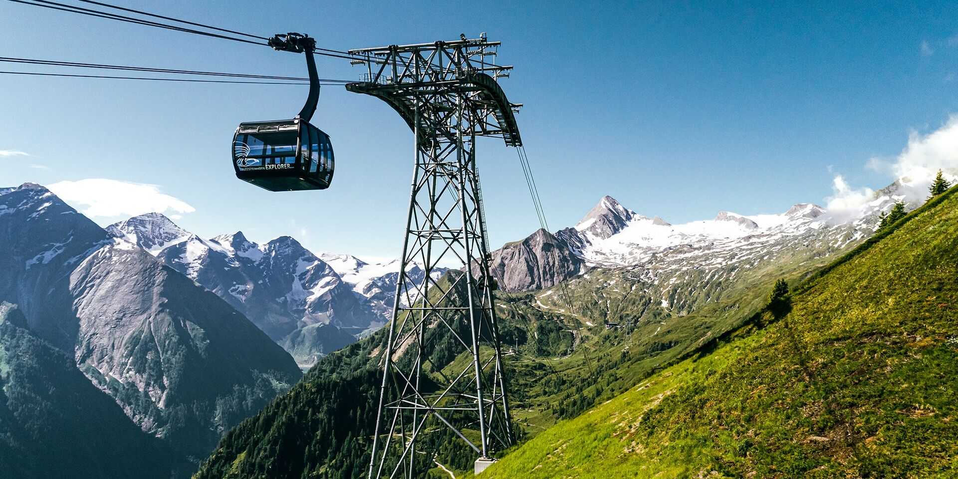
Alpincenter Kitzsteinhorn
- Route
-
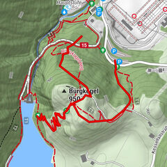
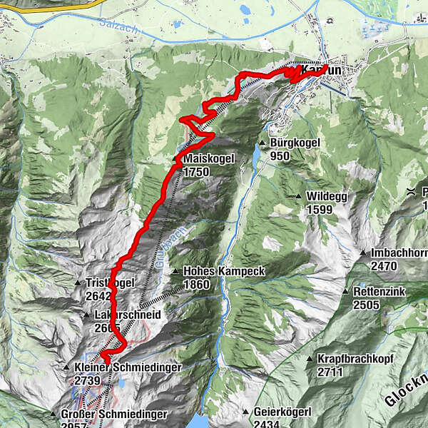
Langwiedbahn (2,453 m)0.1 kmDreiwallnerhöhe (1,861 m)6.4 kmMaiskogel (1,750 m)6.8 kmGlocknerblick7.4 kmJausenstation Unteraigen13.9 kmKaprun15.1 kmPfarrkirche Kaprun15.3 km
- Best season
-
JanFebMarAprMayJunJulAugSepOctNovDec
- Description
-
"Alexander Enzinger Path"
From the Krefelderhütte (4h) you walk over Grubalmkar, it is a cirque below Lakarschneid and Triskogel, further to Stangerhöhe. After that the Schoppenbachhöhe (2.069m), the Dreiwallner-Höhe and the Trögerköpfel are following. Now there is a descent to Glocknerblick hut and after 20 minutes you reach the top of Maiskogel. From there you have the possibility to use the new MK Maiskogel cable car directly into the centre of Kaprun or walk back to the valley on path no 35 (2h) or along Maiskol path no 33. - Directions
-
"Alexander Enzinger Path"From the Krefelderhütte (4h) you walk over Grubalmkar, it is a cirque below Lakarschneid and Triskogel, further to Stangerhöhe. After that the Schoppenbachhöhe (2.069m), the Dreiwallner-Höhe and the Trögerköpfel are following. Now there is a descent to Jausenstation Glocknerblick and after 20 minutes you reach the top of Maiskogel.
From there you have the possibility to use the new MK Maiskogel cable car directly into the centre of Kaprun or walk back to the valley on path no 35 (2h) or along Maiskol path no 33.
- Highest point
- 2,446 m
- Endpoint
-
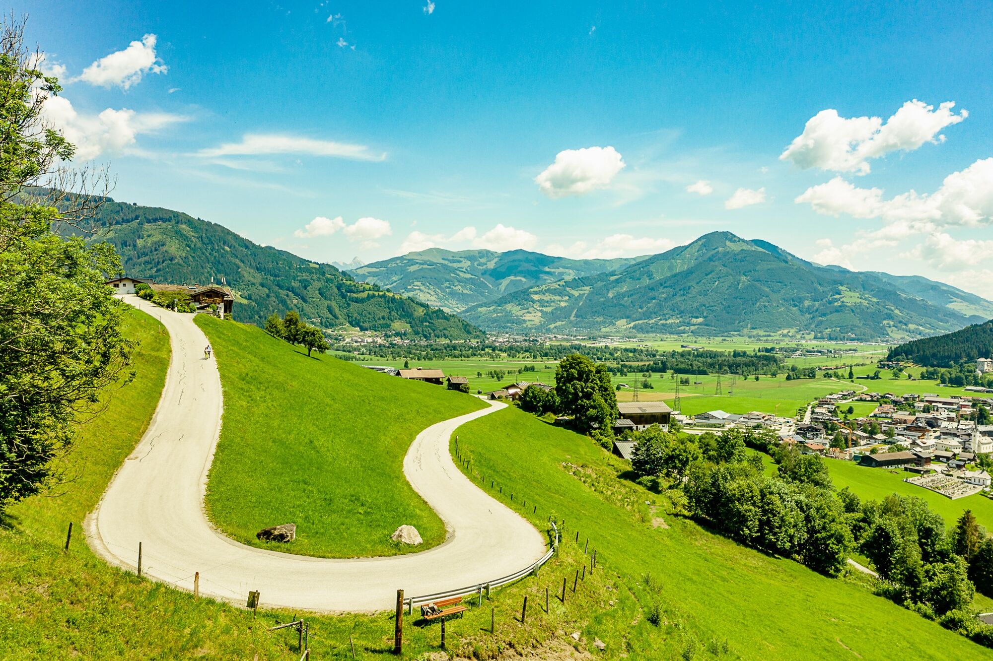
Kaprun Ort
- Height profile
-

- Equipment
-
Good food wear, protection agains rain and sun! The weather can change quickly in the mountains!
- Safety instructions
-
At least one person in the group ought to have some experience of hiking tours in the mountains!
- Tips
-
Ride down with hiking bus
- Additional information
- Public transportation
-
from Zell am See by bus 660 to the stop Kitzsteinhorn
- Parking
-
free parking at the beginning of the Karpun Center (end of the tour) and continue with the bus 660 to the cable cars Kitzsteinhorn.


-

-
AuthorThe tour Krefelderhüttenweg / Alexander Enzinger Path - Variant Alpincenter to Kaprun Center is used by outdooractive.com provided.
GPS Downloads


General info
Refreshment stop
Flora
Fauna
A lot of view
Other tours in the regions