- Brief description
-
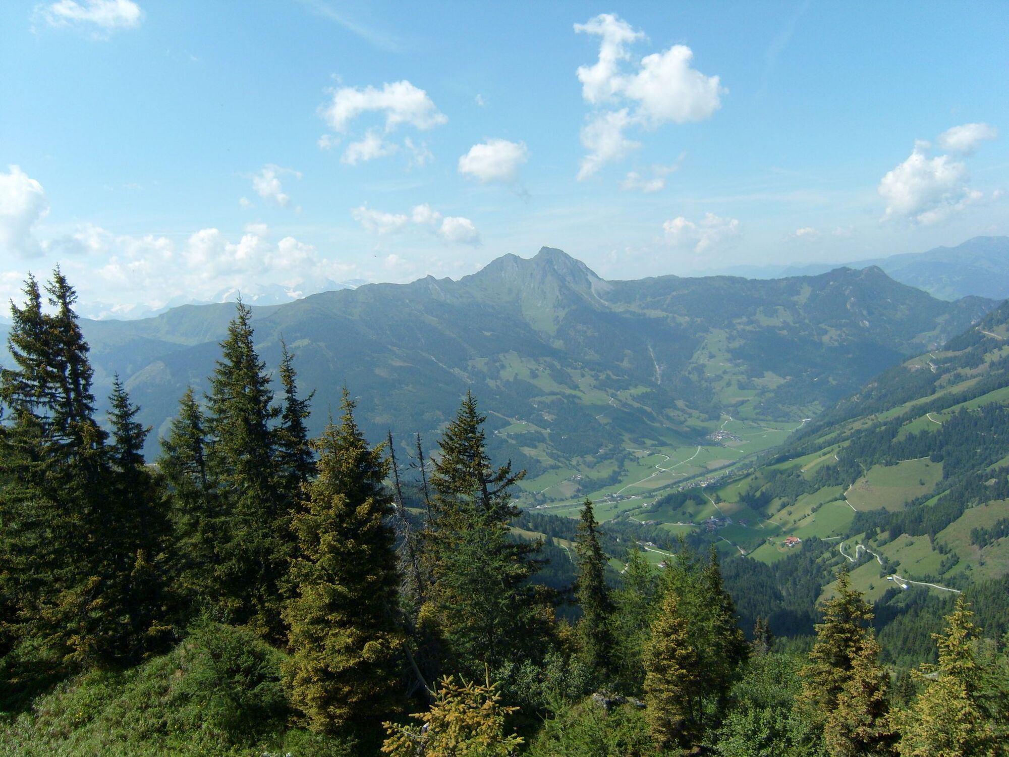
Fantastic high montain tour with wonderful view do the Salzburg montainworld
- Starting point
-
Wanderhotel Zum Stern Bad Hofgastein
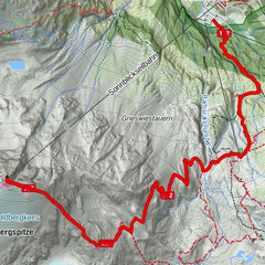
- Route
-
Bad Hofgastein1.8 kmBad Hofgastein4.2 kmBreitenberg4.3 kmLaderdingerhof4.8 kmUnterladerding4.8 kmOberladerding5.1 kmGewerbepark Harbach5.8 kmLuggau7.3 kmGasthof Walcher7.3 kmWengerhochalmbahn10.3 kmKieserl (1,953 m)12.4 km10er Kieserlbahn Bergstation12.4 kmGipfelrestaurant Wolke 712.4 kmArlspitze (2,140 m)14.1 km
- Description
-
By Bus to Dorfgastein cable Fulseck Gipfelbahn to the top of Fulseck 2035 m- a footpath, called Biotopsteig leads northwards and takes you ,
for the most part along the montain ridge to the Arltörl 1797 m, up along the footpathto the Schuhflicker(Arlspitz) 2245 m lovely view from the top
of Schuhflicker.
The same way down to the Arltörl take the right way to the Heumoosalm 1600 m serviced June to Oktober after Almjause (lunch) walk to the beautiful high forest (here you will also find a nature trail on the fungous life of teh region) to the middle station Brandlalm, down by cable to Dorfgastein
an back by Bus to the Wanderhotel Zum Stern Bad Hofgastein.
- Highest point
- 2,125 m
- Height profile
-

- Directions
-
by foot: Postbus or vehicel Dorfgastein Gipfelbahn
by car: Start Dorfgastein cable
- Public transportation
-
Post Bus 551 Dorfgastein Lift


- Author
-
The tour Fulseck Arltörl Schuhflicker Heumoosalm Brandlalm is used by outdooractive.com provided.
GPS Downloads


Other tours in the regions