
- Brief description
-
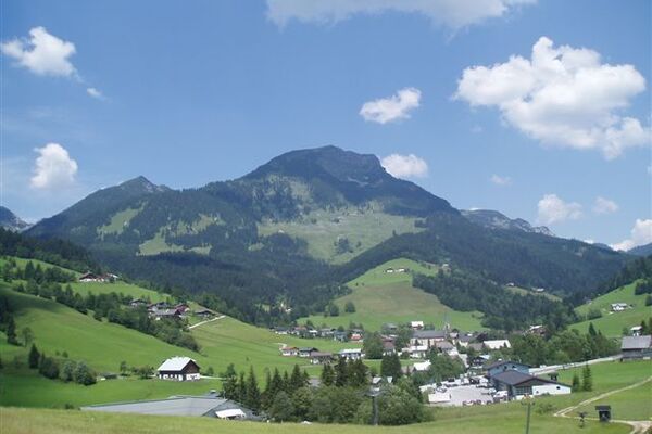
Gerade die richtige Steigung für eine Nordic Walking Runde! Eine Forststraße, die rund um den Berg mitten in Österreich führt! Oder für eine leichte Wanderung, wenn das Wetter mal nicht mitspielt.
- Starting point
-
Wanderhotel Das Waldheim
- Route
-
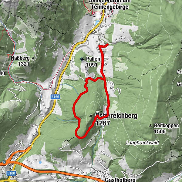
Oberstein0.4 kmHalmgutspielplatz4.9 kmOberstein6.8 km
- Highest point
- 1,193 m
- Endpoint
-
Glüxplatzl - Appartements am Wald
- Height profile
-


- Author
-
The tour Österreichberg 1267m is used by outdooractive.com provided.
GPS Downloads


Other tours in the regions